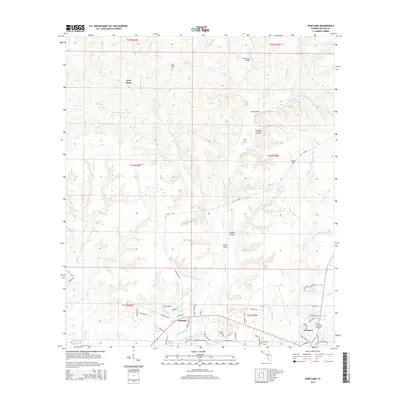
2015 Map of Portland
USGS Topo · Published 2015About this map
Portland and the northern outskirts of Freeport anchor this coastal Florida landscape as it appeared in the mid-2010s. The area is defined by a dense network of watercourses flowing toward the Gulf of Mexico, including the meandering Alaqua Creek and its many tributaries like Goodwin Creek and Davis Mill Creek. Topographic features such as Scrub Hill, Brushy Head, and Steep Head rise above the basin, while the settlement of New Home sits near its namesake New Home Cemetery. This map reveals a transition from traditional rural homesteads to modern residential development, visible in the cluster of newer streets like Sunflower Lane and Date Palm Lane near Freeport. The geography is further marked by local infrastructure such as Hobbs Bridge and the Pine Allen Bridge, which facilitate travel across the region's numerous branches and creeks.
Find a feature on this map
73 named features on this map. Tap any name to fly to it.
Don’t see what you’re looking for? This feature index may not catch every label — zoom into the map to look around manually.
Map Details
Editions of this 2015 Portland Map
This is the sole edition of this map. No revisions or reprints were ever made.
Other maps of this area

1934 · Niceville
USGS Topo · 1:48,000

1935 · Villa Tasso
USGS Topo · 1:48,000

1935 · De Funiak Springs
USGS Topo · 1:48,000

1936 · Niceville
USGS Topo · 1:62,500

1936 · Point Washington
USGS Topo · 1:48,000

1938 · Villa Tasso
USGS Topo · 1:62,500

1938 · De Funiak Springs
USGS Topo · 1:62,500

1939 · Point Washington
USGS Topo · 1:62,500

1956 · Niceville
USGS Topo · 1:62,500

1956 · Villa Tasso
USGS Topo · 1:62,500