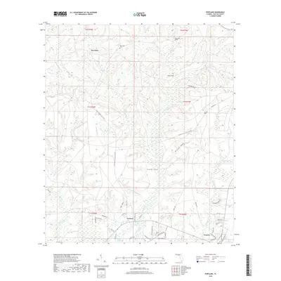
2018 Map of Portland
USGS Topo · Published 2018About this map
Portland and the northern reaches of Freeport anchor this survey of the Panhandle interior, where the land transitions from the elevated reaches of Scrub Hill and Brushy Head down to the brackish waters of Alaqua Bayou. The landscape is defined by an intricate network of waterways, including Alaqua Creek and its many tributaries like Counterfeit Mill Cr and Blount Mill Cr, which hint at the region's historic reliance on water power for local industry.
Find a feature on this map
72 named features on this map. Tap any name to fly to it.
Don’t see what you’re looking for? This feature index may not catch every label — zoom into the map to look around manually.
Map Details
Editions of this 2018 Portland Map
This is the sole edition of this map. No revisions or reprints were ever made.
Other maps of this area

1934 · Niceville
USGS Topo · 1:48,000

1935 · Villa Tasso
USGS Topo · 1:48,000

1935 · De Funiak Springs
USGS Topo · 1:48,000

1936 · Niceville
USGS Topo · 1:62,500

1936 · Point Washington
USGS Topo · 1:48,000

1938 · Villa Tasso
USGS Topo · 1:62,500

1938 · De Funiak Springs
USGS Topo · 1:62,500

1939 · Point Washington
USGS Topo · 1:62,500

1956 · Niceville
USGS Topo · 1:62,500

1956 · Villa Tasso
USGS Topo · 1:62,500