Old Maps of Vernon, Florida for Hiking & Exploration
Hike through history with 21 historic maps of Vernon. Explore old trails, ghost towns, and forgotten backroads — perfect for outdoor adventurers and local explorers.
- Rediscover forgotten places: Map out old mining camps, roads, and footpaths that no longer exist on modern maps.
- Layer with modern tools: Combine with LiDAR or satellite views to plan hikes through historical terrain.
- Made for exploration: Popular among hikers, overlanders, and local history lovers.
Use these maps to find adventure and explore the hidden past of Vernon.
Vernon, FL maps
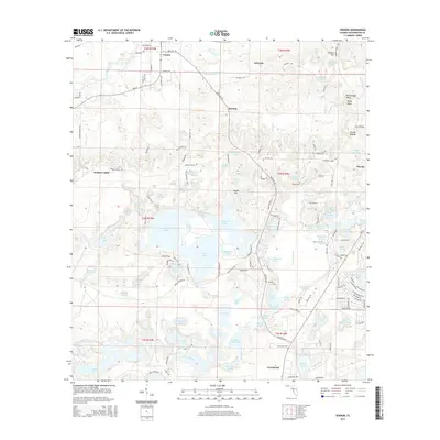
(21)- 1950 Map of Vernon, 1963 Print
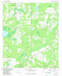
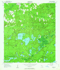 1950 Vernon1963 Print · USGSIn the mid-century Florida panhandle, this area of Washington County centers on the winding Holmes Creek and a dense network of rural communities. Researchers can locate several historical schools and churches, including Moss Hill Ch, Greenhead Sch, and Tiller Cem.2 unique versions available
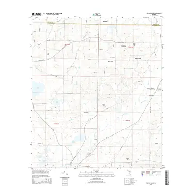
 - 1950 Map of Poplar Head, 1973 Print
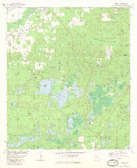
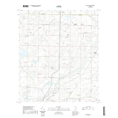
 1950 Poplar Head1973 Print · USGSMid-century Washington and Holmes Counties are defined here by the winding Holmes Creek and a labyrinth of timbered bays. Genealogists can locate family landmarks like Johnson Crossroad, Union Hill Sch, and the Bethesda Ch.
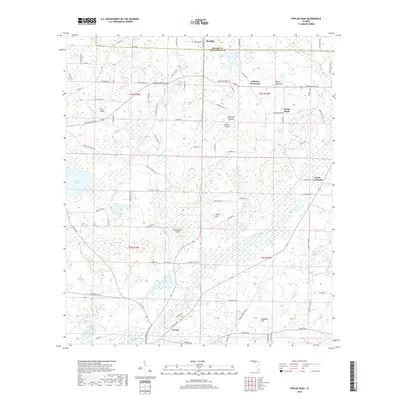
 - 1951 Map of Poplar Head
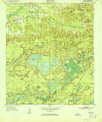
 1951 Poplar Head1951 Print · USGSThe Florida Panhandle in the early fifties shows a landscape of expansive bays and rural crossroads. Genealogists and local historians can trace family locations near Union Hill Sch, Bethesda Ch, and the settlement at Poplar Head.
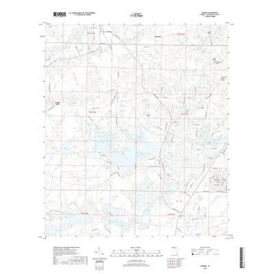
 - 1951 Map of Vernon
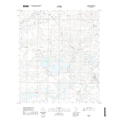
 1951 Vernon1951 Print · USGSMid-century Washington County is mapped here as a network of rural settlements and vast freshwater systems. Researchers can locate local landmarks like Moss Hill Ch, Tiller Cem, and the community at Panama Heights among the many named ponds and swamps.
 - 1954 Map of Tallahassee, 1967 Print
 1954 Tallahassee1967 Print · USGSThe Florida Panhandle and South Georgia are captured here during a period of mid-century growth and military expansion. Researchers can trace the development of Panama City, the footprint of Tyndall Air Force Base, and the rail lines of the Atlantic Coast Line.4 unique versions available
 - 1959 Map of Tallahassee
 1959 Tallahassee1959 Print · USGSFlorida's Panhandle and the Big Bend region appear here in the mid-fifties, showing a landscape defined by its great river systems and developing coast. Trace the early layout of Panama City, the expansive Apalachicola National Forest, and the coastal St Marks Lighthouse.
 - 1960 Map of Tallahassee
 1960 Tallahassee1960 Print · USGSThe Florida Panhandle and southern Georgia are captured here in the mid-twentieth century, showing a region defined by its rivers and military installations. Genealogists and historians can trace the growth of Tallahassee or locate coastal landmarks like the St Marks Lighthouse and Tyndall Air Force Base.
 - 1979 Map of Marianna, 1980 Print
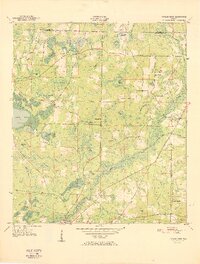
 1979 Marianna1980 Print · USGSFlorida's northern panhandle and the neighboring Alabama-Georgia borderlands are captured here in the late seventies. Genealogists and local historians can trace family roots through settlements like Graceville and Cottondale or follow the historic Louisville and Nashville rail lines.2 unique versions available
 - 1982 Map of Poplar Head, 1983 Print
 1982 Poplar Head1983 Print · USGSNorthwest Florida's pine and swamp country comes alive in this early 1980s survey. Genealogists and local historians can trace the community around Vernon, locate family landmarks like Brock Crossroad, or find the secluded Cooks Mill Pond.
 - 1982 Map of Vernon, 1983 Print
 1982 Vernon1983 Print · USGSThe Florida Panhandle's wetland interior is documented here in the early eighties, centered on the lakes and swamps of Washington County. Genealogists can locate family landmarks such as Moss Hill Ch, Greenhead Cem, and Sand Landing on Lucas Lake.
 - 1988 Map of Tallahassee
 1988 Tallahassee1988 Print · USGSThe Florida Panhandle and South Georgia are captured here in the late eighties, showing the expansion of the regional highway network and coastal growth. Genealogists and historians can trace rail lines like the Seaboard System Railroad or locate family roots in Blountstown, Graceville, or Crawfordville.2 unique versions available
 - 2012 Map of Vernon, 2012 Print
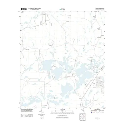 2012 Vernon2012 Print · USGSCovers Vernon, including Smyrna, Greenhead, and other nearby areas
 - 2012 Map of Poplar Head, 2012 Print
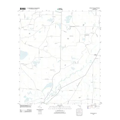 2012 Poplar Head2012 Print · USGSCovers Vernon, including Brock Crossroad, Johnson Crossroad, and other nearby areas
 - 2015 Map of Vernon, 2015 Print
 2015 Vernon2015 Print · USGSCovers Vernon, including Smyrna, Greenhead, and other nearby areas
 - 2015 Map of Poplar Head, 2015 Print
 2015 Poplar Head2015 Print · USGSCovers Vernon, including Brock Crossroad, Johnson Crossroad, and other nearby areas
 - 2018 Map of Poplar Head, 2018 Print
 2018 Poplar Head2018 Print · USGSCovers Vernon, including Brock Crossroad, Johnson Crossroad, and other nearby areas
 - 2018 Map of Vernon, 2018 Print
 2018 Vernon2018 Print · USGSCovers Vernon, including Smyrna, Greenhead, and other nearby areas
 - 2021 Map of Poplar Head, 2021 Print
 2021 Poplar Head2021 Print · USGSCovers Vernon, including Brock Crossroad, Johnson Crossroad, and other nearby areas
 - 2021 Map of Vernon, 2021 Print
 2021 Vernon2021 Print · USGSCovers Vernon, including Smyrna, Greenhead, and other nearby areas
 - 2024 Map of Poplar Head, 2024 Print
 2024 Poplar Head2024 Print · USGSThe Washington and Holmes county borderlands in the Florida Panhandle show a landscape of interconnected wetlands and rural crossroads in the early 2020s. Genealogists and researchers can trace family landmarks like the Poplar Head Cem, Haddock Hill, and Brock Crossroad.
 - 2024 Map of Vernon, 2024 Print
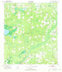
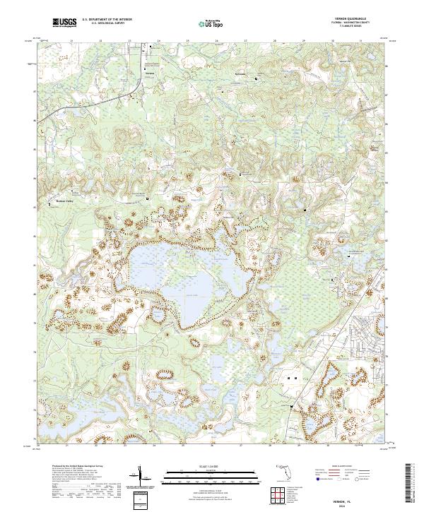 2024 Vernon2024 Print · USGSThe Florida Panhandle settlement of Vernon is captured here in modern detail, illustrating its enduring connection to the winding Holmes Creek. Genealogists can locate several local burial grounds, including Keown Cem and the Sheffield Family Cem, while exploring the rural landscape of Holmes Valley.
End of results
Showing maps 1-21 of 21
Top cities near Vernon
- Chipley historical maps
- Bonifay historical maps
- Ponce de Leon historical maps
- Wausau historical maps
- Ebro historical maps
- Caryville historical maps
See more
Frequently asked questions
- What are the different types of historical maps available for Vernon?
- What is the oldest map of Vernon?
- Where can I purchase historical maps of Vernon for my home or office?
- Where can I download high-res historical maps of Vernon?
- Are there historical topographic maps available for Vernon?
- Is there historical aerial imagery available for Vernon?
- Where are historical maps of Vernon sourced from?