Old Maps of Cornfields, Fort Defiance Agency
Explore 13 old maps of Cornfields, spanning from 1886 to today. These high-resolution historic maps reveal how streets, neighborhoods, landmarks, and natural features evolved over time — perfect for genealogy, metal detecting, research, and local history exploration.
What you can do with these maps:
- See how Cornfields changed over time: Compare historical maps to modern-day views to trace roads, homesites, rail lines & more.
- View detailed metadata: Each map includes creators, publishers, year, scale, and archive source.
- Overlay maps with satellite & LiDAR: Visualize the past alongside modern tools to explore terrain & human change.
- Trusted historical sources: Maps sourced from the USGS, Library of Congress, and other archives.
- Access maps your way: View online, download high-res files, or order prints for personal or research use.
Start exploring old maps of Cornfields to uncover forgotten places, hidden landmarks, and the deep history beneath your feet.
Cornfields, Fort Defiance Agency maps
(13)- 1886 Map of Fort Defiance
 1886 Fort Defiance1886 Print · USGSTerritorial Arizona and the high plateaus of Apache County come to life in the 1880s, centered on the strategic outpost of Fort Defiance. Researchers can trace the path of the Atlantic and Pacific Railroad and locate early stops like Allantown and Navajo.
 - 1892 Map of Fort Defiance
 1892 Fort Defiance1892 Print · USGSNorthern Arizona in the late nineteenth century remains a frontier of isolated outposts and high desert mesas. Trace the path of the A & P R R through Sanders or locate the remote station at Pueblo Colorado and the springs at Jacobs Well.6 unique versions available
 - 1954 Map of Gallup, 1973 Print
 1954 Gallup1973 Print · USGSNative American tribal lands and the railroad corridor of the Southwest appear here at the midpoint of the century. Trace historic sites and remote settlements from Window Rock to the Fort Wingate Army Depot and Bibo.2 unique versions available
 - 1958 Map of Gallup
 1958 Gallup1958 Print · USGSThe high desert of Western New Mexico and Eastern Arizona is captured here in the late fifties, dominated by the Navajo and Zuni homelands. Researchers can trace the path of US 66 through Gallup or locate historic industry at the Navajo Coal Mine and Gibson Coal Mine.
 - 1959 Map of Gallup
 1959 Gallup1959 Print · USGSThe high desert corridor of northwestern New Mexico and eastern Arizona comes alive in the late fifties, following the path of Route 66 and the rail lines. Trace established landmarks like Zuni Pueblo, the Fort Wingate Military Reservation, and the Coolidge Post Office.
 - 1962 Map of Gallup
 1962 Gallup1962 Print · USGSThe high plateau and mountains surrounding Gallup in the early sixties reveal a landscape defined by tribal lands, coal mining, and the rail corridor. Researchers can locate remote trading posts, the Gibson Coal Mine, and the historic Window Rock capital.
 - 1967 Map of Gallup
 1967 Gallup1967 Print · USGSThe high desert of New Mexico and Arizona comes into focus in the mid-1960s, centered on the railroad and ranching hub of Gallup. Genealogists and historians can trace routes through Zuni Pueblo, identify old rail stops like Houck, or locate the Aqua Fria Post Office.
 - 1972 Map of Cornfields, 1976 Print
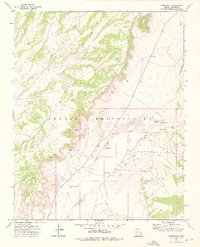 1972 Cornfields1976 Print · USGSCornfields and the high desert of the Navajo Indian Reservation are shown here in the early seventies. Researchers can trace the importance of desert water through family-named landmarks like Hosteen Begay Well and Joe Friday Well.
 - 1984 Map of Ganado
 1984 Ganado1984 Print · USGSThe Navajo Nation in the mid-eighties reveals a landscape of high mesas and vital community hubs across Apache County. Trace the development of Fort Defiance and Window Rock, or locate historic landmarks like Hubbell Trading Post and Kinlichee Boarding School.2 unique versions available
 - 2011 Map of Cornfields, 2011 Print
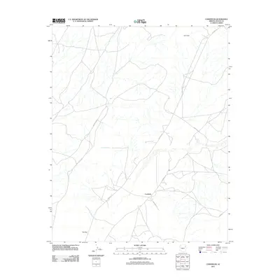 2011 Cornfields2011 Print · USGSCornfields and the high-desert plateaus of Apache County are captured here in the early twenty-first century. Researchers can trace the network of tribal routes and local paths connecting vital water sources like Mail Carrier Spring and Tsaaadiidosi Spring.
 - 2014 Map of Cornfields, 2014 Print
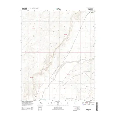 2014 Cornfields2014 Print · USGSThe Pueblo Colorado Valley is captured here in the early twenty-first century, showing the enduring spatial layout of Navajo Nation communities. Researchers can trace the connection between the high-desert terrain and the settlements of Cornfields, Burnside, and Mai Dagi.
 - 2018 Map of Cornfields, 2018 Print
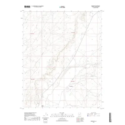 2018 Cornfields2018 Print · USGSThe Navajo Nation community of Cornfields is captured here during the late 2010s, centered on the life-giving drainage of the Pueblo Colorado Valley. Genealogists and historians can trace the relationship between remote homesteads and critical water sources like Mail Carrier Spring and Tsagagidisi Spring.
 - 2021 Map of Cornfields, 2021 Print
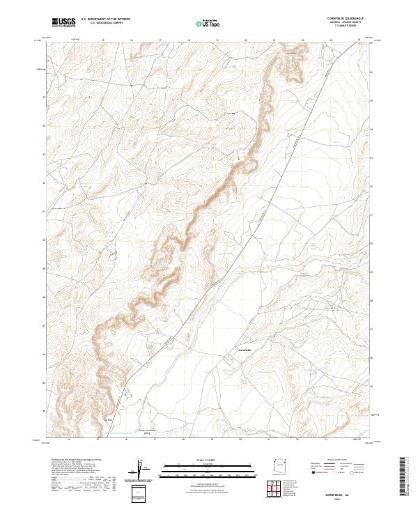 2021 Cornfields2021 Print · USGSCornfields and the Pueblo Colorado Valley are shown here in the early twenty-first century as part of the Navajo Nation in Apache County. Researchers can trace the local road network and water sources like Mail Carrier Spring and Tsaaddidosi Spring near Cornfields.
End of results
Showing maps 1-13 of 13
Top cities near Cornfields
- Chinle Agency historical maps
- Fort Defiance Agency historical maps
- Ganado historical maps
- Burnside historical maps
Frequently asked questions
- What are the different types of historical maps available for Cornfields?
- What is the oldest map of Cornfields?
- Where can I purchase historical maps of Cornfields for my home or office?
- Where can I download high-res historical maps of Cornfields?
- Are there historical topographic maps available for Cornfields?
- Is there historical aerial imagery available for Cornfields?
- Where are historical maps of Cornfields sourced from?