Old Maps of Lupton, Fort Defiance Agency for Hiking & Exploration
Hike through history with 14 historic maps of Lupton. Explore old trails, ghost towns, and forgotten backroads — perfect for outdoor adventurers and local explorers.
- Rediscover forgotten places: Map out old mining camps, roads, and footpaths that no longer exist on modern maps.
- Layer with modern tools: Combine with LiDAR or satellite views to plan hikes through historical terrain.
- Made for exploration: Popular among hikers, overlanders, and local history lovers.
Use these maps to find adventure and explore the hidden past of Lupton.
Lupton, Fort Defiance Agency maps
(14)- 1886 Map of Fort Defiance
 1886 Fort Defiance1886 Print · USGSTerritorial Arizona and the high plateaus of Apache County come to life in the 1880s, centered on the strategic outpost of Fort Defiance. Researchers can trace the path of the Atlantic and Pacific Railroad and locate early stops like Allantown and Navajo.
 - 1892 Map of Fort Defiance
 1892 Fort Defiance1892 Print · USGSNorthern Arizona in the late nineteenth century remains a frontier of isolated outposts and high desert mesas. Trace the path of the A & P R R through Sanders or locate the remote station at Pueblo Colorado and the springs at Jacobs Well.6 unique versions available
 - 1954 Map of Gallup, 1973 Print
 1954 Gallup1973 Print · USGSNative American tribal lands and the railroad corridor of the Southwest appear here at the midpoint of the century. Trace historic sites and remote settlements from Window Rock to the Fort Wingate Army Depot and Bibo.2 unique versions available
 - 1958 Map of Gallup
 1958 Gallup1958 Print · USGSThe high desert of Western New Mexico and Eastern Arizona is captured here in the late fifties, dominated by the Navajo and Zuni homelands. Researchers can trace the path of US 66 through Gallup or locate historic industry at the Navajo Coal Mine and Gibson Coal Mine.
 - 1959 Map of Gallup
 1959 Gallup1959 Print · USGSThe high desert corridor of northwestern New Mexico and eastern Arizona comes alive in the late fifties, following the path of Route 66 and the rail lines. Trace established landmarks like Zuni Pueblo, the Fort Wingate Military Reservation, and the Coolidge Post Office.
 - 1962 Map of Gallup
 1962 Gallup1962 Print · USGSThe high plateau and mountains surrounding Gallup in the early sixties reveal a landscape defined by tribal lands, coal mining, and the rail corridor. Researchers can locate remote trading posts, the Gibson Coal Mine, and the historic Window Rock capital.
 - 1967 Map of Gallup
 1967 Gallup1967 Print · USGSThe high desert of New Mexico and Arizona comes into focus in the mid-1960s, centered on the railroad and ranching hub of Gallup. Genealogists and historians can trace routes through Zuni Pueblo, identify old rail stops like Houck, or locate the Aqua Fria Post Office.
 - 1971 Map of Lupton, 1975 Print
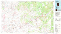
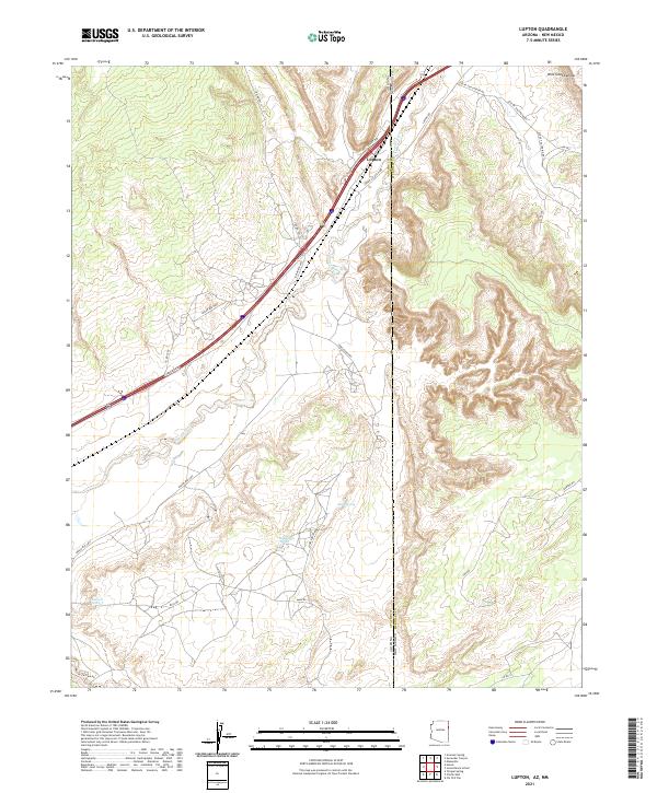
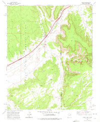 1971 Lupton1975 Print · USGSIn the early 1970s, this borderland between Arizona and New Mexico was a critical transit point for the Atchison Topeka and Santa Fe railroad. Researchers can find deep-country water sources and Navajo landmarks such as Lupton Chapter House, Begay Well, and Keetsoel Spring.
 - 1982 Map of Sanders, 1983 Print
 1982 Sanders1983 Print · USGSThe high desert of Apache County is captured here in the early eighties, showcasing the intersection of tribal lands and major transit corridors. Researchers can trace the path of the Atchison Topeka and Santa Fe and find remote outposts like Sanders, Houck, and Crows Nest Windmill.
 - 2010 Map of Lupton, 2010 Print
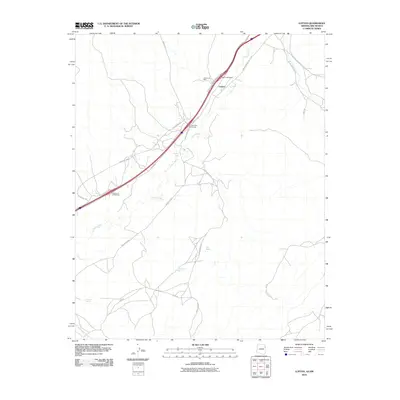 2010 Lupton2010 Print · USGSCovers Lupton, including Fort Defiance Agency, Eastern Navajo Agency, and other nearby areas
 - 2011 Map of Lupton, 2011 Print
 2011 Lupton2011 Print · USGSCovers Lupton, including Fort Defiance Agency, Eastern Navajo Agency, and other nearby areas
 - 2014 Map of Lupton, 2014 Print
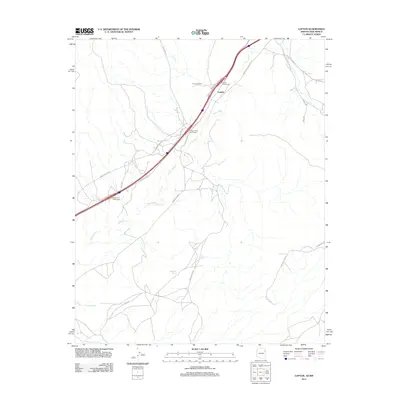
 2014 Lupton2014 Print · USGSCovers Lupton, including Fort Defiance Agency, Eastern Navajo Agency, and other nearby areas
 - 2018 Map of Lupton, 2018 Print
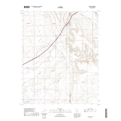 2018 Lupton2018 Print · USGSCovers Lupton, including Fort Defiance Agency, Eastern Navajo Agency, and other nearby areas
 - 2021 Map of Lupton, 2021 Print
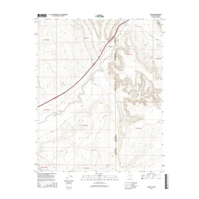
 2021 Lupton2021 Print · USGSCrossing the Arizona-New Mexico state line in the early twenty-first century, this map captures the border community of Lupton and its vital desert springs. Local history researchers can trace the course of the Puerco River and locate remote landmarks like Sagebrush Spring or Wild Goat Canyon.
End of results
Showing maps 1-14 of 14
Top cities near Lupton
Frequently asked questions
- What are the different types of historical maps available for Lupton?
- What is the oldest map of Lupton?
- Where can I purchase historical maps of Lupton for my home or office?
- Where can I download high-res historical maps of Lupton?
- Are there historical topographic maps available for Lupton?
- Is there historical aerial imagery available for Lupton?
- Where are historical maps of Lupton sourced from?