Old Maps of Danville, Allentown for Academic Research
Study the evolution of Danville with 18 high-resolution historic maps. Whether you're teaching, researching, or modeling changes in land use, these maps provide essential visual documentation of urban, environmental, and geographic change.
- Analyze long-term change: Track patterns in development, transportation, and natural features.
- Ideal for environmental or urban studies: Support academic projects with primary historical map data.
- Use in the classroom or lab: Educators and researchers rely on these maps to bring historical context to life.
These maps are a powerful tool for teaching, research, and visualizing how Danville has changed over the decades.
Danville, Allentown maps
(18)- 1956 Map of Jeffersonville, 1957 Print
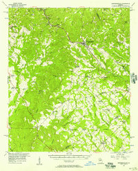 1956 Jeffersonville1957 Print · USGSMiddle Georgia's rural heartland is captured here in the mid-fifties, centered on the railroad hub of Jeffersonville. Genealogists can trace family connections to numerous landmarks like New Richland Ch, White Springs Sch, and the riverfront at Cary.2 unique versions available
 - 1957 Map of Macon
 1957 Macon1957 Print · USGSMid-century Georgia comes into focus as the river-and-rail economy shifts toward a new era of aviation and highway travel. Trace family roots and vanished landmarks across the Ocmulgee River valley from Macon to the onion fields of Vidalia.
 - 1958 Map of Macon
 1958 Macon1958 Print · USGSMiddle Georgia during the late fifties shows the post-war expansion of Warner Robins alongside the deep-rooted rail hubs of the Central of Georgia line. Researchers can trace the river-bound boundaries of numerous counties and find local landmarks like Veterans Memorial Hospital and Robins AFB.
 - 1964 Map of Macon
 1964 Macon1964 Print · USGSCentral Georgia in the mid-sixties is defined by its major river valleys and a booming military presence. Genealogists and historians can trace the growth of Warner Robins near Robins AFB or locate smaller rural junctions like Allentown and Jeffersonville along the historic Southern railroad lines.2 unique versions available
 - 1974 Map of Danville East, 1976 Print
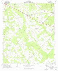
 1974 Danville East1976 Print · USGSThe railroad towns of Danville, Allentown, and Montrose anchor this mid-1970s Georgia landscape where four counties meet. Genealogists can locate rural landmarks like the Twiggs-Wilkinson Sch, Laurens Hill Ch, and the old Claypit mines.
 - 1974 Map of Danville West, 1977 Print
 1974 Danville West1977 Print · USGSTwiggs and Bleckley Counties are captured in the mid-seventies, showing a rural landscape defined by family cemeteries and rail-side settlements. Genealogists can locate specific landmarks like the Lizzy Harold Ch and Cem, Lucy Chapel, and the community of Cary.
 - 1978 Map of Macon, 1980 Print
 1978 Macon1980 Print · USGSCentral Georgia during the late seventies reveals a landscape shaped by military expansion and clay mining. Genealogists and local historians can trace the development of Warner Robins, the grounds of Wesleyan College, and the rural surroundings of Griswoldville.2 unique versions available
 - 1988 Map of Macon, 1989 Print
 1988 Macon1989 Print · USGSCentral Georgia is captured during the late eighties, showing the expansive river systems and growing urban hubs of the regional interior. Genealogists and historians can trace the paths of the Central of Georgia Railroad and locate communities like Warner Robbins, Dublin, and Sandersville.
 - 2011 Map of Danville West, 2011 Print
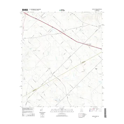
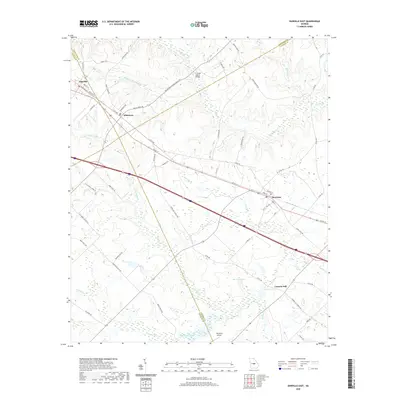
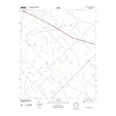 2011 Danville West2011 Print · USGSCovers Danville, including Allentown, Brown Hill, and other nearby areas
 - 2011 Map of Danville East, 2011 Print
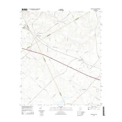
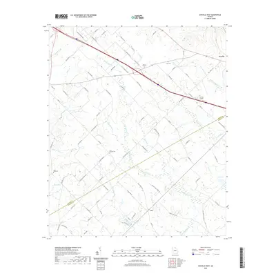
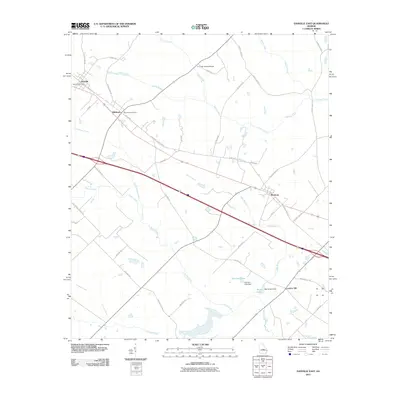 2011 Danville East2011 Print · USGSCovers Danville, including Montrose, Allentown, and other nearby areas
 - 2014 Map of Danville West, 2014 Print
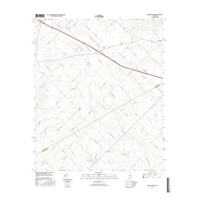
 2014 Danville West2014 Print · USGSCovers Danville, including Allentown, Brown Hill, and other nearby areas
 - 2014 Map of Danville East, 2014 Print
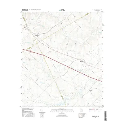
 2014 Danville East2014 Print · USGSCovers Danville, including Montrose, Allentown, and other nearby areas
 - 2017 Map of Danville West, 2017 Print
 2017 Danville West2017 Print · USGSCovers Danville, including Allentown, Brown Hill, and other nearby areas
 - 2017 Map of Danville East, 2017 Print
 2017 Danville East2017 Print · USGSCovers Danville, including Montrose, Allentown, and other nearby areas
 - 2020 Map of Danville East, 2020 Print
 2020 Danville East2020 Print · USGSCovers Danville, including Montrose, Allentown, and other nearby areas
 - 2020 Map of Danville West, 2020 Print
 2020 Danville West2020 Print · USGSCovers Danville, including Allentown, Brown Hill, and other nearby areas
 - 2024 Map of Danville East, 2024 Print
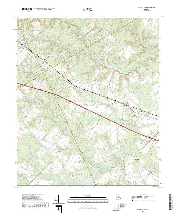 2024 Danville East2024 Print · USGSThe crossroads of four Georgia counties come into view in the 2020s, revealing a landscape of rural townships and winding creek bottoms. Genealogists can trace family connections near Montrose Cem, Macedonia Cem, and the settlement of Laurens Hill.
 - 2024 Map of Danville West, 2024 Print
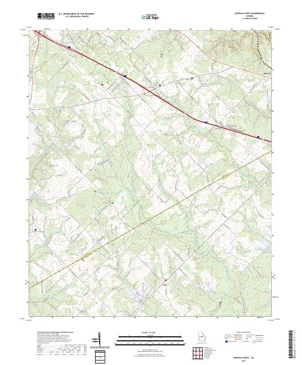 2024 Danville West2024 Print · USGSThe rural landscape of Twiggs and Bleckley Counties comes into focus in this contemporary survey. Genealogists and historians can trace local family lineages through Mount Zion Cem and Lizzy Harold Cem or locate the Danville Airpark.
End of results
Showing maps 1-18 of 18
Top cities near Danville
- Cochran historical maps
- Chester historical maps
- Jeffersonville historical maps
- Dexter historical maps
- Dudley historical maps
- Irwinton historical maps
See more
Frequently asked questions
- What are the different types of historical maps available for Danville?
- What is the oldest map of Danville?
- Where can I purchase historical maps of Danville for my home or office?
- Where can I download high-res historical maps of Danville?
- Are there historical topographic maps available for Danville?
- Is there historical aerial imagery available for Danville?
- Where are historical maps of Danville sourced from?