2020s Maps of Baxley, Georgia
Explore 8 historic maps of Baxley from the 2020s. These maps offer a rare glimpse into what life looked like during the 2020s — showing old roads, neighborhoods, homes, and landmarks that have changed or disappeared over time.
Whether you're researching your family's past, planning a metal detecting trip, or studying how Baxley's landscape evolved across the 2020s, these high-resolution maps are a powerful tool for exploring the history of this region.
- Focus on a specific era: All maps on this page are from the 2020s, giving you a focused view of this time period.
- See what’s changed: Compare century-old streets, trails, and buildings to today's modern landscape using overlays and satellite layers.
- Research with precision: Use these maps for genealogy, historical research, land use analysis, or educational projects.
- View, download, or print: Maps are fully viewable online in high resolution, and can be downloaded or printed for your own records.
Start exploring Baxley's history through authentic maps from the 2020s. This is your window into the past.
Baxley, GA maps
(8)- 2020 Map of Alma NE, 2020 Print
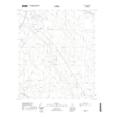 2020 Alma NE2020 Print · USGSCovers Baxley, including Holmesville, Appling County, and other nearby areas
 - 2020 Map of Alma NW, 2020 Print
 2020 Alma NW2020 Print · USGSCovers Baxley, including Appling County, Bacon County, and other nearby areas
 - 2020 Map of Baxley, 2020 Print
 2020 Baxley2020 Print · USGSCovers Baxley, including Spring Branch, Holt Homes, and other nearby areas
 - 2020 Map of Pine Grove, 2020 Print
 2020 Pine Grove2020 Print · USGSCovers Baxley, including Graham, Phillipi, and other nearby areas
 - 2024 Map of Alma NW, 2024 Print
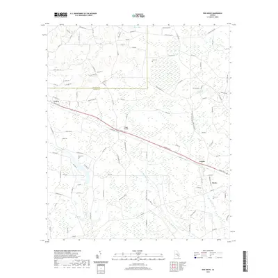
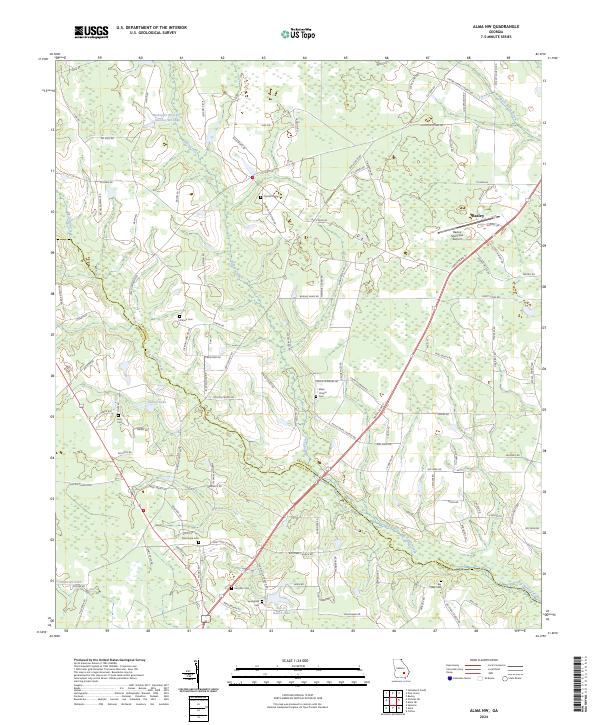 2024 Alma NW2024 Print · USGSThe rural boundary of Appling and Bacon counties is captured in the early 2020s, showing the intersection of agricultural life and modern infrastructure south of Baxley. Family researchers can locate numerous burial sites and landmarks, including Corinth Cem, New Hope Cem, and Baxley Municipal Airport.
 - 2024 Map of Baxley, 2024 Print
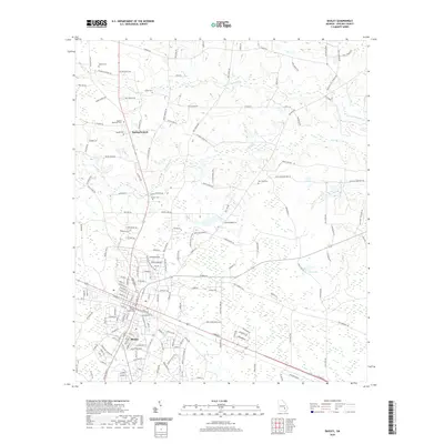
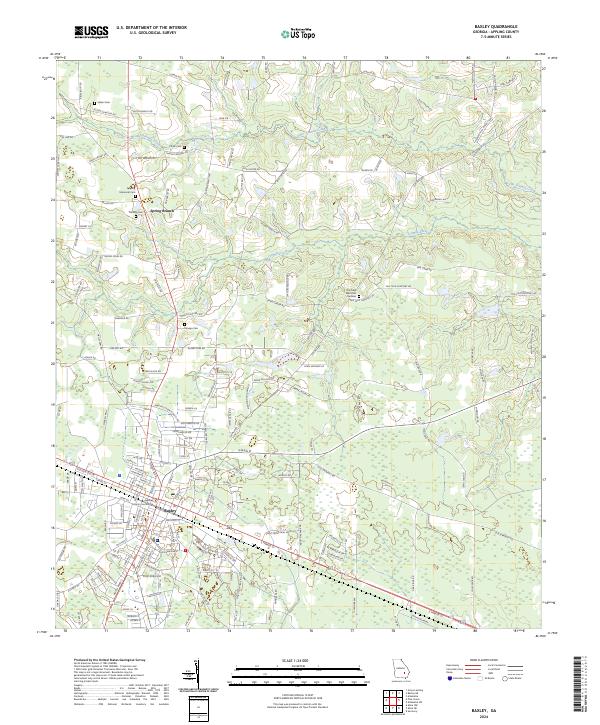 2024 Baxley2024 Print · USGSBaxley and the surrounding Appling County countryside are captured here in the early twenty-first century. Genealogists and local historians can trace family land and landmarks through numerous sites like Omega Cemetery, Moody Cemetery, and the Appling County Courthouse.
 - 2024 Map of Alma NE, 2024 Print
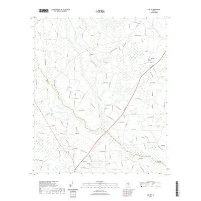
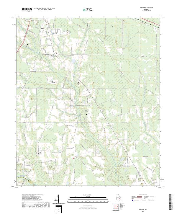 2024 Alma NE2024 Print · USGSThe rural landscapes of Appling and Bacon counties are captured here in the contemporary era. Researchers can trace family history through several local burial sites, including Old Pleasant Grove Cem, Deen Cem, and Graham Cem.
 - 2024 Map of Pine Grove, 2024 Print
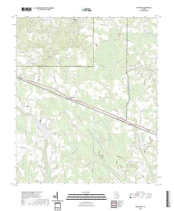 2024 Pine Grove2024 Print · USGSAppling and Jeff Davis counties are shown here in the 2020s, anchored by the town of Baxley and the highway corridor connecting nearby rural hamlets. Local historians can trace family locations through Oak View Baptist Church Cem, Sellers Cem, and Campground Cem.
End of results
Showing maps 1-8 of 8
Top cities near Baxley
Top neighborhoods of Baxley
- Bassville historical maps
- Cannafax Mobile Home Park historical maps
- Holt Homes historical maps
- Speer Homes historical maps
- Weatherly Park historical maps
- Pine Forest historical maps
See more
Frequently asked questions
- What are the different types of historical maps available for Baxley?
- What is the oldest map of Baxley?
- Where can I purchase historical maps of Baxley for my home or office?
- Where can I download high-res historical maps of Baxley?
- Are there historical topographic maps available for Baxley?
- Is there historical aerial imagery available for Baxley?
- Where are historical maps of Baxley sourced from?