Old Maps of Baxley, Georgia for Genealogy
Trace your family roots with 28 historic maps of Baxley. These high-res maps reveal old neighborhoods, homesites, landmarks, and streets — helping you uncover where your ancestors lived and how the area evolved over time.
- Explore historic neighborhoods: Identify where your relatives may have lived in the 1800s or 1900s.
- Compare maps over time: Trace the changes in streets, buildings, and landmarks for multi-generational research.
- Perfect for genealogy & ancestry research: Used by family historians and researchers to map out lineage and migration.
These maps are an incredible resource for exploring your personal connection to Baxley's past.
Baxley, GA maps
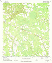
(28)- 1953 Map of Waycross, 1967 Print
 1953 Waycross1967 Print · USGSSouth Georgia's agricultural and rail heartland is captured here in the mid-1950s, showing a vast network of timber and farming towns. Researchers can trace the rail lines connecting Waycross and Tifton or locate landmarks like Jefferson Davis State Park and Lake Blackshear.2 unique versions available
 - 1958 Map of Waycross
 1958 Waycross1958 Print · USGSSoutheast Georgia in the late fifties remains a landscape of deep river basins and vital rail junctions. Genealogists and historians can trace family-named landmarks and rural hubs like Union Church, South Georgia College, and the sprawling Okefenokee Swamp.2 unique versions available
 - 1970 Map of Pine Grove, 1974 Print
 1970 Pine Grove1974 Print · USGSAppling and Jeff Davis counties are captured here in the early seventies, dominated by the timber and rail landscape of South Georgia. Researchers can trace the path of the Southern railway through Pine Grove and locate rural landmarks like Sellers Cem or Big Oak Ch.2 unique versions available
 - 1970 Map of Baxley, 1974 Print
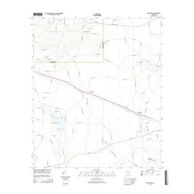
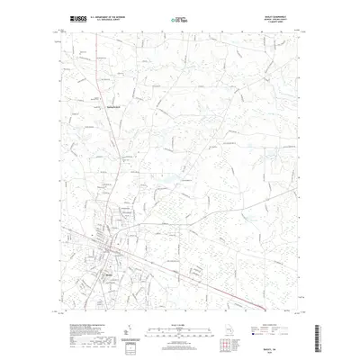
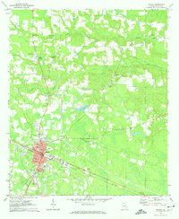 1970 Baxley1974 Print · USGSBaxley and the rural stretches of Appling County are captured here in the early seventies as the town served as a vital rail and civic hub. Genealogists and local historians can trace family-named sites like Sellers Cem and Carter Cem, or locate rural landmarks like Tenmile Ch and the Drive-in Theater.2 unique versions available
 - 1971 Map of Alma NW, 1974 Print
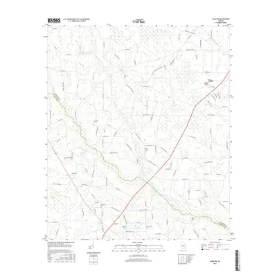
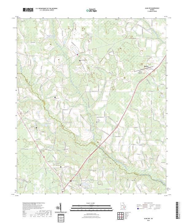
 1971 Alma NW1974 Print · USGSAppling and Bacon counties are shown here in the early 1970s, defined by the winding course of Big Satilla Creek. Genealogists and local historians can locate rural landmarks like Dyals Sch, New Hope Ch, and the Big Creek Ch Cem.
 - 1971 Map of Alma NE, 1974 Print
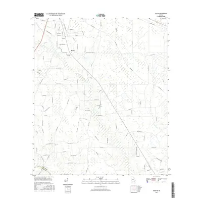
 1971 Alma NE1974 Print · USGSThe rural borderlands of Appling and Bacon County are captured here in the early seventies as small farms and family tracts predominated. Genealogists can trace family lines through the Old Pleasant Grove Cem, Carter Cem, and the Odum Childrens Home.
 - 1979 Map of Hazlehurst, 1980 Print
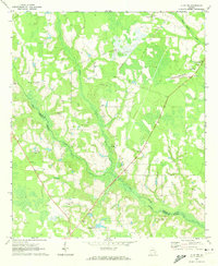
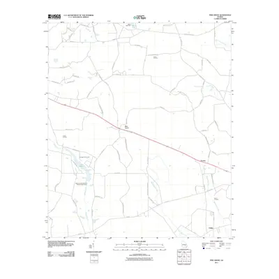
 1979 Hazlehurst1980 Print · USGSSoutheast Georgia in the late seventies is defined by the convergence of major rail lines and river basins in Jeff Davis and Appling counties. Genealogists and local historians can trace the development of Hazlehurst and Baxley alongside features like the Pine Grove Pipeline and the Altamaha River wetlands.
 - 1988 Map of Waycross
 1988 Waycross1988 Print · USGSSouth Georgia's wiregrass and timber country is documented here in the late eighties, centered on the vital rail junction of Waycross. Genealogists and historians can trace the rural landscape from Okefenokee up to the Ocmulgee, finding sites like Lumber City and Jefferson Davis Memorial State Park.
 - 2011 Map of Baxley, 2011 Print
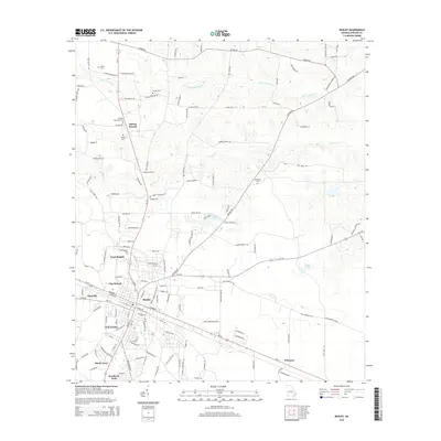
 2011 Baxley2011 Print · USGSCovers Baxley, including Spring Branch, Holt Homes, and other nearby areas
 - 2011 Map of Alma NE, 2011 Print
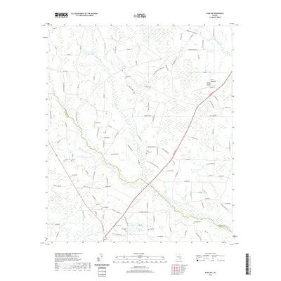
 2011 Alma NE2011 Print · USGSCovers Baxley, including Holmesville, Appling County, and other nearby areas
 - 2011 Map of Pine Grove, 2011 Print
 2011 Pine Grove2011 Print · USGSCovers Baxley, including Graham, Phillipi, and other nearby areas
 - 2011 Map of Alma NW, 2011 Print
 2011 Alma NW2011 Print · USGSCovers Baxley, including Appling County, Bacon County, and other nearby areas
 - 2014 Map of Pine Grove, 2014 Print
 2014 Pine Grove2014 Print · USGSCovers Baxley, including Graham, Phillipi, and other nearby areas
 - 2014 Map of Alma NW, 2014 Print
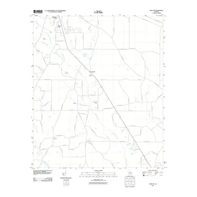
 2014 Alma NW2014 Print · USGSCovers Baxley, including Appling County, Bacon County, and other nearby areas
 - 2014 Map of Alma NE, 2014 Print
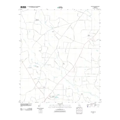
 2014 Alma NE2014 Print · USGSCovers Baxley, including Holmesville, Appling County, and other nearby areas
 - 2014 Map of Baxley, 2014 Print
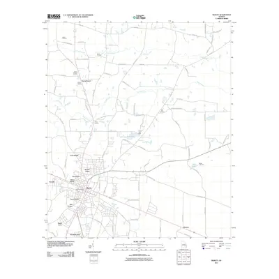
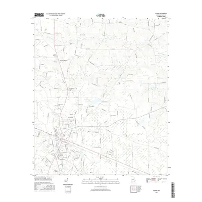
 2014 Baxley2014 Print · USGSCovers Baxley, including Spring Branch, Holt Homes, and other nearby areas
 - 2017 Map of Alma NE, 2017 Print
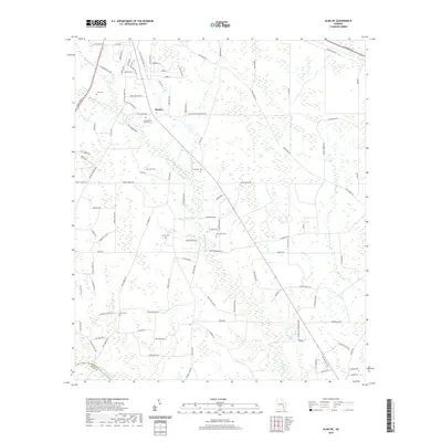
 2017 Alma NE2017 Print · USGSCovers Baxley, including Holmesville, Appling County, and other nearby areas
 - 2017 Map of Alma NW, 2017 Print
 2017 Alma NW2017 Print · USGSCovers Baxley, including Appling County, Bacon County, and other nearby areas
 - 2017 Map of Baxley, 2017 Print
 2017 Baxley2017 Print · USGSCovers Baxley, including Spring Branch, Holt Homes, and other nearby areas
 - 2017 Map of Pine Grove, 2017 Print
 2017 Pine Grove2017 Print · USGSCovers Baxley, including Graham, Phillipi, and other nearby areas
 - 2020 Map of Alma NE, 2020 Print
 2020 Alma NE2020 Print · USGSCovers Baxley, including Holmesville, Appling County, and other nearby areas
 - 2020 Map of Alma NW, 2020 Print
 2020 Alma NW2020 Print · USGSCovers Baxley, including Appling County, Bacon County, and other nearby areas
 - 2020 Map of Baxley, 2020 Print
 2020 Baxley2020 Print · USGSCovers Baxley, including Spring Branch, Holt Homes, and other nearby areas
 - 2020 Map of Pine Grove, 2020 Print
 2020 Pine Grove2020 Print · USGSCovers Baxley, including Graham, Phillipi, and other nearby areas
 - 2024 Map of Alma NW, 2024 Print
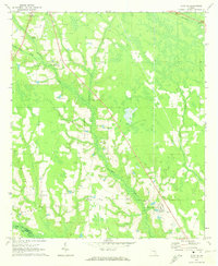
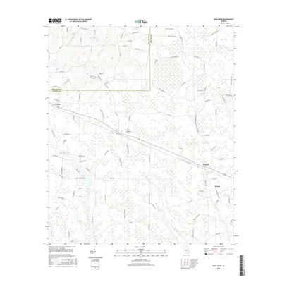
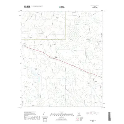
 2024 Alma NW2024 Print · USGSThe rural boundary of Appling and Bacon counties is captured in the early 2020s, showing the intersection of agricultural life and modern infrastructure south of Baxley. Family researchers can locate numerous burial sites and landmarks, including Corinth Cem, New Hope Cem, and Baxley Municipal Airport.
Showing maps 1-25 of 28
Top cities near Baxley
Top neighborhoods of Baxley
- Bassville historical maps
- Cannafax Mobile Home Park historical maps
- Holt Homes historical maps
- Speer Homes historical maps
- Weatherly Park historical maps
- Pine Forest historical maps
See more
Frequently asked questions
- What are the different types of historical maps available for Baxley?
- What is the oldest map of Baxley?
- Where can I purchase historical maps of Baxley for my home or office?
- Where can I download high-res historical maps of Baxley?
- Are there historical topographic maps available for Baxley?
- Is there historical aerial imagery available for Baxley?
- Where are historical maps of Baxley sourced from?