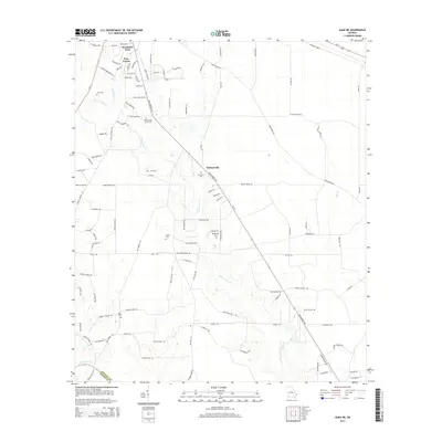
2014 Map of Alma NE
USGS Topo · Published 2014About this map
Holmesville and the surrounding rural landscapes of Appling and Bacon Counties are defined by a network of creeks and numerous local family burial grounds. The Blackshear Hwy serves as a primary corridor through this agricultural region, connecting the northern residential developments of Weatherly Park and Pine Forest to the older, scattered settlements southward. The terrain is marked by distinctive hydrological features including Sweetwater Cr, Black Water Cr, and the uniquely named Glory Hole.
Find a feature on this map
109 named features on this map. Tap any name to fly to it.
Don’t see what you’re looking for? This feature index may not catch every label — zoom into the map to look around manually.
Map Details
Editions of this 2014 Alma NE Map
This is the sole edition of this map. No revisions or reprints were ever made.
Other maps of this area

1953 · Waycross
USGS Topo · 1:250,000

1958 · Waycross
USGS Topo · 1:250,000
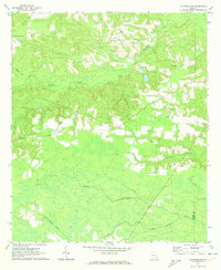
1970 · Altamaha SW
USGS Topo · 1:24,000

1970 · Pine Grove
USGS Topo · 1:24,000

1970 · Baxley
USGS Topo · 1:24,000

1971 · Surrency
USGS Topo · 1:24,000

1971 · Coffee
USGS Topo · 1:24,000

1971 · K'ville
USGS Topo · 1:24,000

1971 · Alma NW
USGS Topo · 1:24,000

1971 · Alma
USGS Topo · 1:24,000