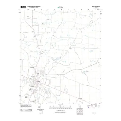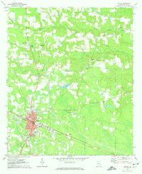
1970 Map of Baxley
USGS Topo · Published 1974About this map
The Southern railroad corridor anchors the city of Baxley in this 1970 survey, revealing a well-established grid centered on the Courthouse and City Hall. The map documents a classic South Georgia landscape where the residential streets like Patterson St and Main St give way to a surrounding rural economy defined by creeks and timberland. Numerous family burial grounds, including Sellers Cem and Moody Cem, are scattered across the northern reaches near Little Tenmile Creek, suggesting long-standing agricultural roots and generational land ownership.
Find a feature on this map
40 named features on this map. Tap any name to fly to it.
Don’t see what you’re looking for? This feature index may not catch every label — zoom into the map to look around manually.
Map Details
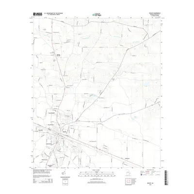
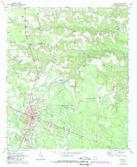
Editions of this 1970 Baxley Map
2 editions found
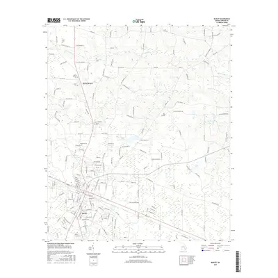
Historical Maps of Baxley Through Time
6 maps found