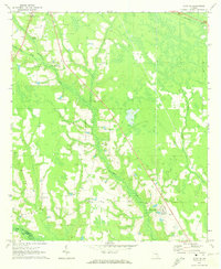
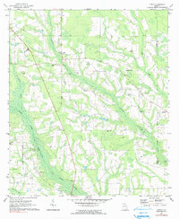
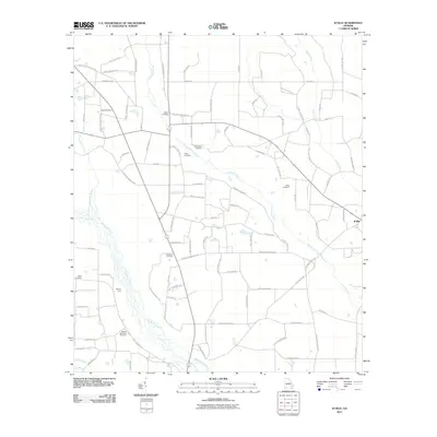
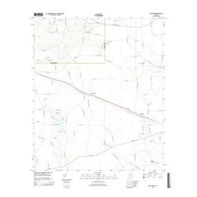
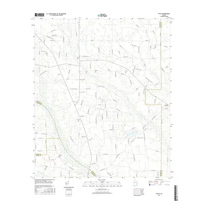
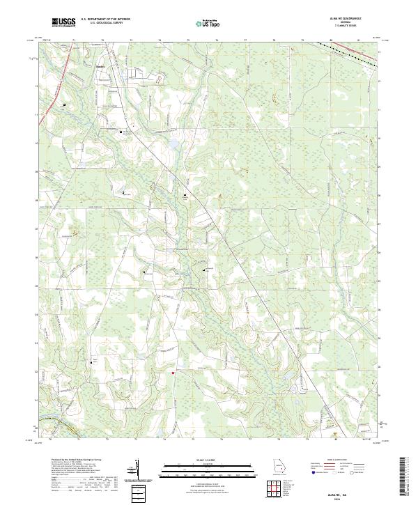
1971 Map of Alma NE
USGS Topo · Published 1974About this map
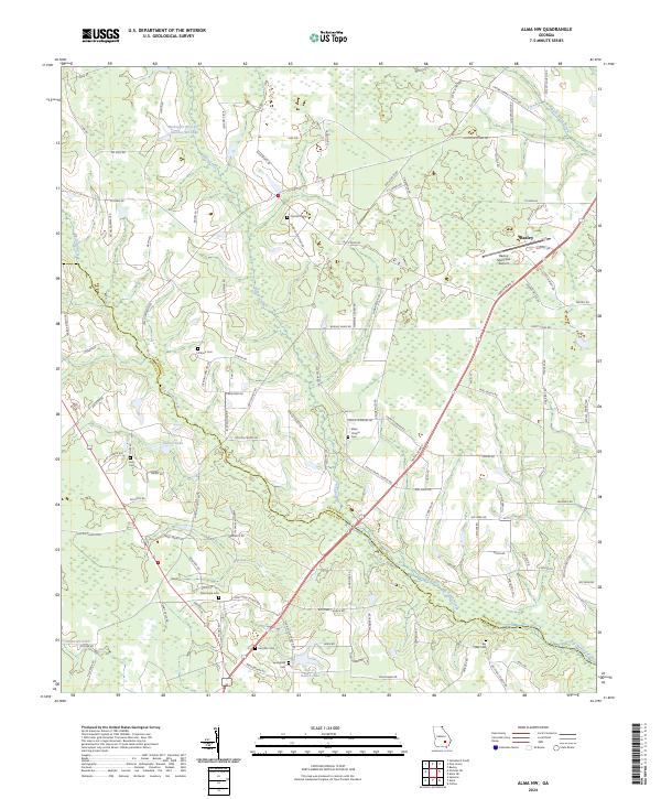
The county line between Appling Co and Bacon Co divides this rural landscape, characterized by a series of family cemeteries and country churches. The geography is defined by the winding course of Sweetwater Creek and Black Water Creek, which drain into the Big Satilla Creek at the southern edge of the sheet. Significant local landmarks include the Odum Childrens Home and Millers Airport, alongside several ecclesiastical sites such as Pineview Ch, Mt Vernon Ch, and Cook Chapel. The Southern railroad line cuts through the northeastern corner, providing a vital transport link for this agricultural region during the early 1970s. Numerous burial grounds, including the Old Pleasant Grove Cem and Beckworth Cem, offer specific points of interest for genealogists tracing local family histories in this part of Georgia.
Find a feature on this map
22 named features on this map. Tap any name to fly to it.
Don’t see what you’re looking for? This feature index may not catch every label — zoom into the map to look around manually.
Map Details
Editions of this 1971 Alma NE Map
This is the sole edition of this map. No revisions or reprints were ever made.
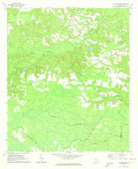
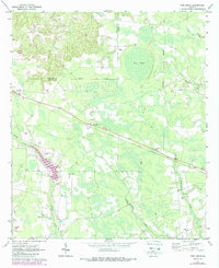
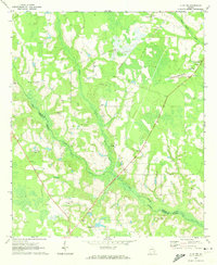
Historical Maps of Baxley Through Time
30 maps found
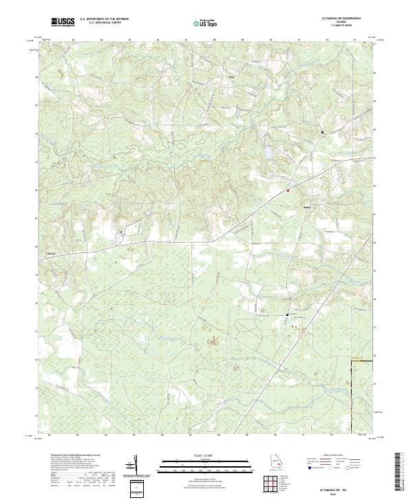
1970 Altamaha SW
Appling County, GA
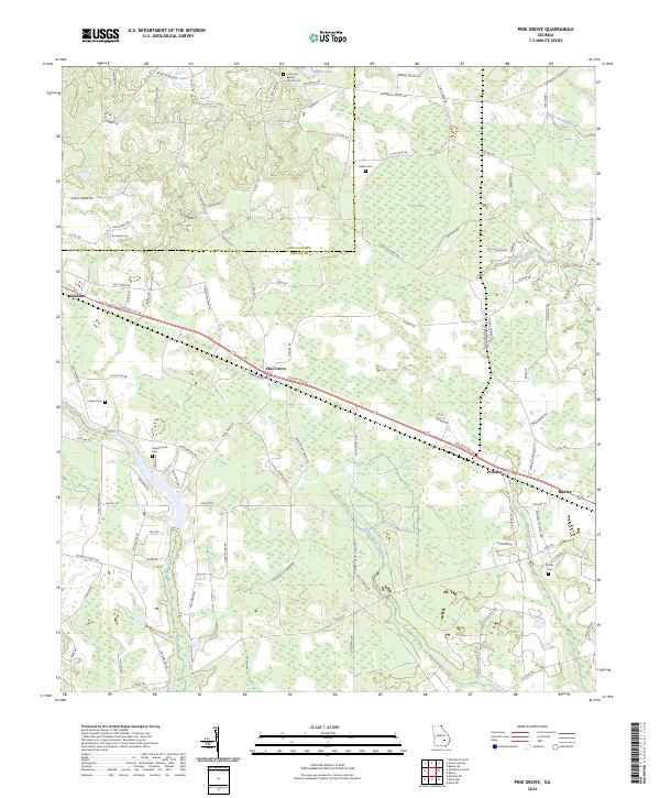
1970 Pine Grove
Appling County, GA
1971 Alma NE
Appling County, GA
1971 Alma NW
Appling County, GA
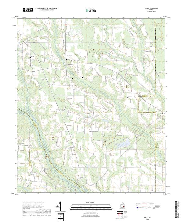
1971 K'ville
Appling County, GA
2011 Alma NE
Appling County, GA
2011 Alma NW
Appling County, GA
2011 Altamaha SW
Appling County, GA
2011 K'Ville
Appling County, GA
2011 Pine Grove
Appling County, GA

2014 Alma NE
Appling County, GA

2014 Alma NW
Appling County, GA
2014 Altamaha SW
Appling County, GA
2014 K'Ville
Appling County, GA
2014 Pine Grove
Appling County, GA
2017 Alma NE
Appling County, GA
2017 Alma NW
Appling County, GA
2017 Altamaha SW
Appling County, GA
2017 K'Ville
Appling County, GA
2017 Pine Grove
Appling County, GA
2020 Alma NE
Appling County, GA
2020 Alma NW
Appling County, GA
2020 Altamaha SW
Appling County, GA
2020 K'Ville
Appling County, GA
2020 Pine Grove
Appling County, GA
2024 Alma NE
Appling County, GA
2024 Alma NW
Appling County, GA
2024 Altamaha SW
Appling County, GA
2024 K'Ville
Appling County, GA
2024 Pine Grove
Appling County, GA