
1971 Map of Surrency
USGS Topo · Published 1973About this map
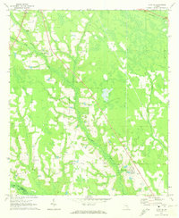
The town of Surrency serves as the central hub of this 1971 survey, situated at the junction of the Southern railroad and several local routes. The landscape is defined by its complex drainage systems, where Little Satilla Creek and Colemans Creek weave through a terrain heavily marked by wetlands. The presence of the Lookout Tower and a Radio Tower near the tracks suggests the importance of both forestry management and regional communications in this part of Georgia.
Find a feature on this map
17 named features on this map. Tap any name to fly to it.
Don’t see what you’re looking for? This feature index may not catch every label — zoom into the map to look around manually.
Map Details
Editions of this 1971 Surrency Map
This is the sole edition of this map. No revisions or reprints were ever made.
Other maps of this area

1953 · Waycross
USGS Topo · 1:250,000

1958 · Waycross
USGS Topo · 1:250,000
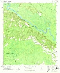
1970 · Altamaha SE
USGS Topo · 1:24,000
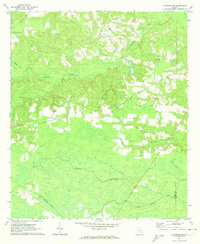
1970 · Altamaha SW
USGS Topo · 1:24,000

1970 · Baxley
USGS Topo · 1:24,000
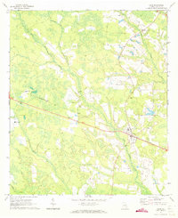
1971 · Odum
USGS Topo · 1:24,000
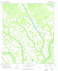
1971 · Ritch
USGS Topo · 1:24,000

1971 · Coffee
USGS Topo · 1:24,000

1971 · K'ville
USGS Topo · 1:24,000
1971 · Alma NE
USGS Topo · 1:24,000