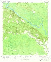
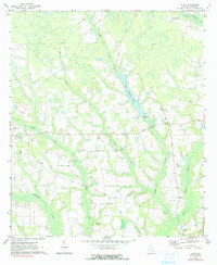
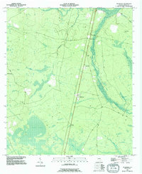
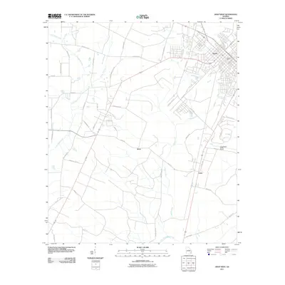
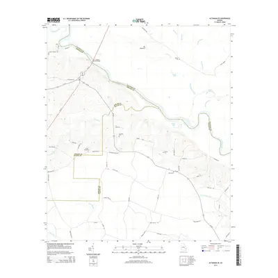
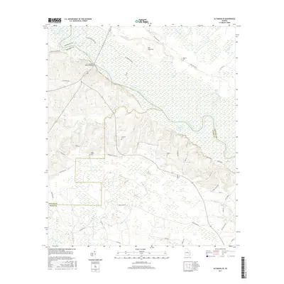
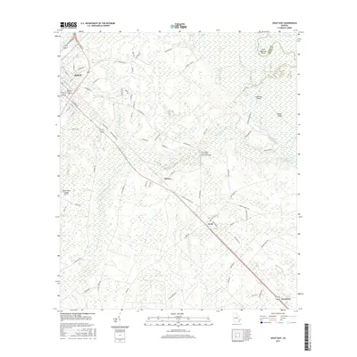
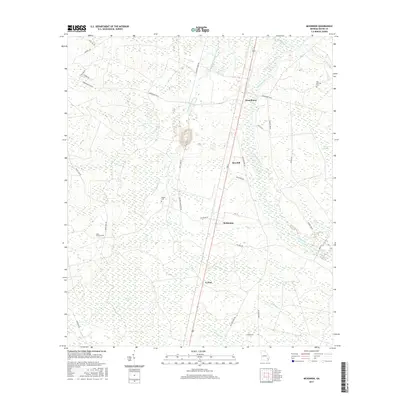
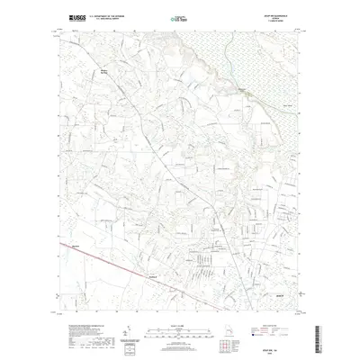
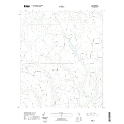
1970 Map of Altamaha SE
USGS Topo · Published 1974About this map
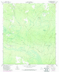
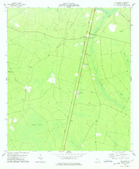
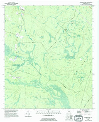
The Altamaha River winds through the borderlands of Tattnall, Appling, and Wayne counties, anchoring a landscape of river landings and bottomland lakes. In the early 1970s, this area remained largely rural, defined by small family cemeteries and country churches scattered across the upland ridges. Local river access is marked by Carters Bight Landing and Lower Sister Bluff Landing, points of historical transit along the water's edge.
Find a feature on this map
28 named features on this map. Tap any name to fly to it.
Don’t see what you’re looking for? This feature index may not catch every label — zoom into the map to look around manually.
Map Details
Editions of this 1970 Altamaha SE Map
This is the sole edition of this map. No revisions or reprints were ever made.
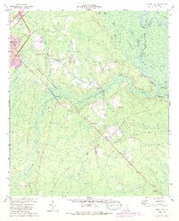
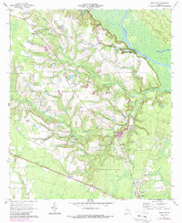
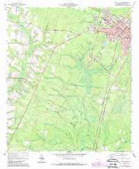
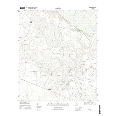
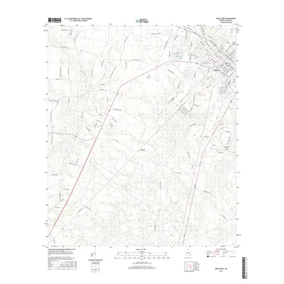
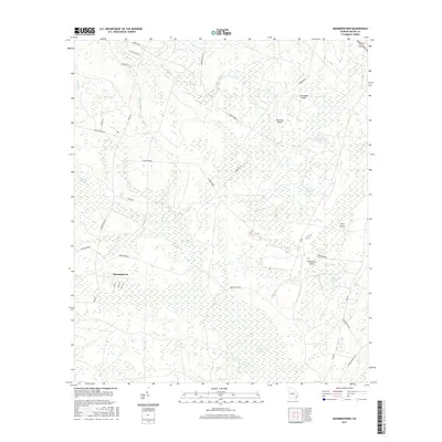
Historical Maps of Wayne County Through Time
44 maps found
1970 Altamaha SE
Wayne County, GA
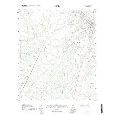
1970 Jesup East
Wayne County, GA
1970 Jesup NW
Wayne County, GA
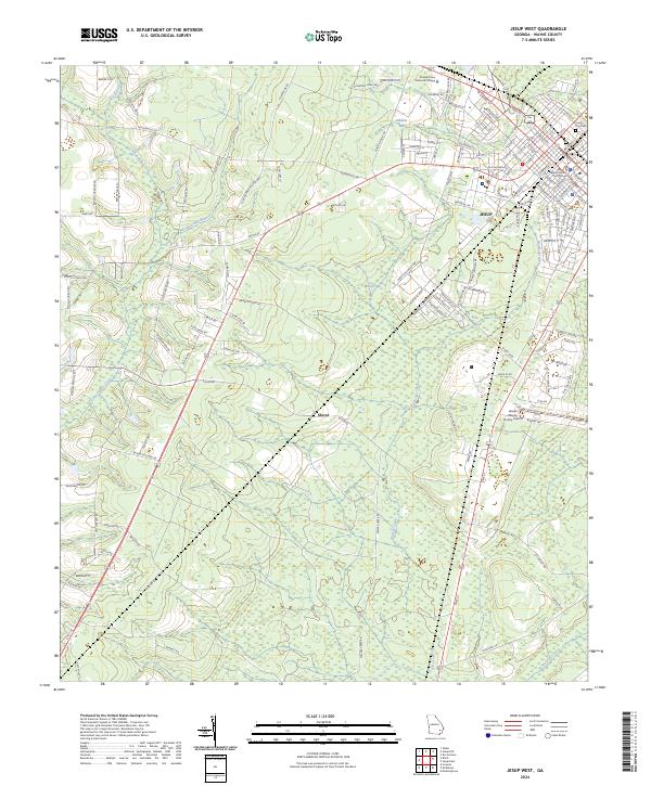
1970 Jesup West
Wayne County, GA
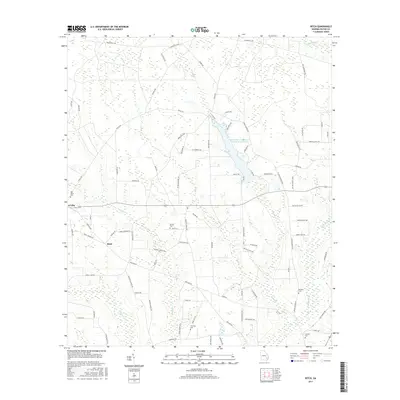
1971 Ritch
Wayne County, GA
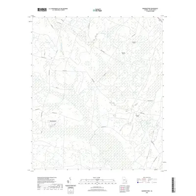
1977 Manningtown
Wayne County, GA
1978 Mc Kinnon
Wayne County, GA
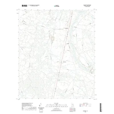
1988 Manningtown
Wayne County, GA
1993 Mc Kinnon
Wayne County, GA
2011 Altamaha SE
Wayne County, GA
2011 Jesup East
Wayne County, GA
2011 Jesup NW
Wayne County, GA
2011 Jesup West
Wayne County, GA
2011 Manningtown
Wayne County, GA
2011 McKinnon
Wayne County, GA
2011 Ritch
Wayne County, GA
2014 Altamaha SE
Wayne County, GA
2014 Jesup East
Wayne County, GA
2014 Jesup NW
Wayne County, GA
2014 Jesup West
Wayne County, GA
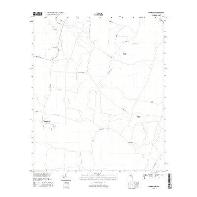
2014 Manningtown
Wayne County, GA
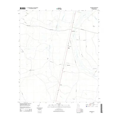
2014 McKinnon
Wayne County, GA
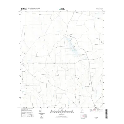
2014 Ritch
Wayne County, GA
2017 Altamaha SE
Wayne County, GA
2017 Jesup East
Wayne County, GA
2017 Jesup NW
Wayne County, GA
2017 Jesup West
Wayne County, GA
2017 Manningtown
Wayne County, GA
2017 McKinnon
Wayne County, GA
2017 Ritch
Wayne County, GA
2020 Altamaha SE
Wayne County, GA
2020 Jesup East
Wayne County, GA
2020 Jesup NW
Wayne County, GA
2020 Jesup West
Wayne County, GA
2020 Manningtown
Wayne County, GA
2020 McKinnon
Wayne County, GA
2020 Ritch
Wayne County, GA
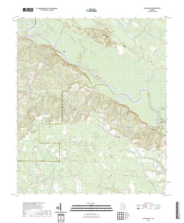
2024 Altamaha SE
Wayne County, GA
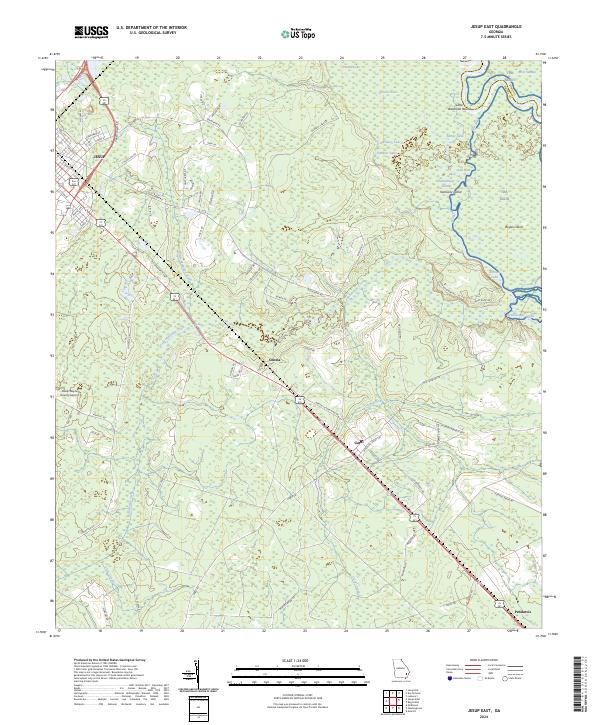
2024 Jesup East
Wayne County, GA
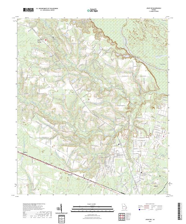
2024 Jesup NW
Wayne County, GA
2024 Jesup West
Wayne County, GA
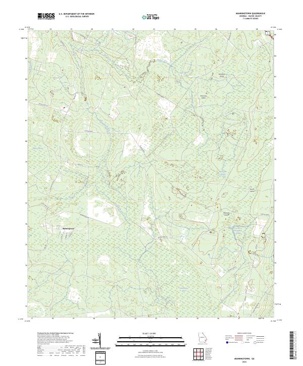
2024 Manningtown
Wayne County, GA
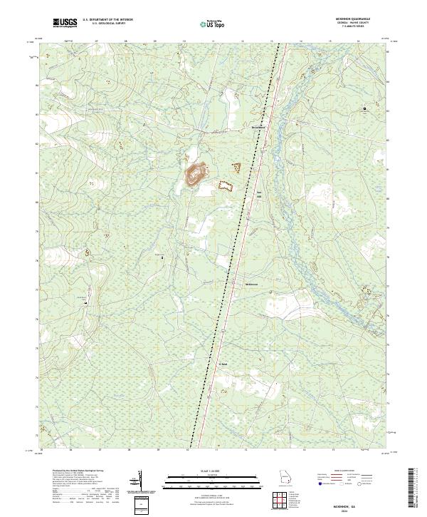
2024 McKinnon
Wayne County, GA
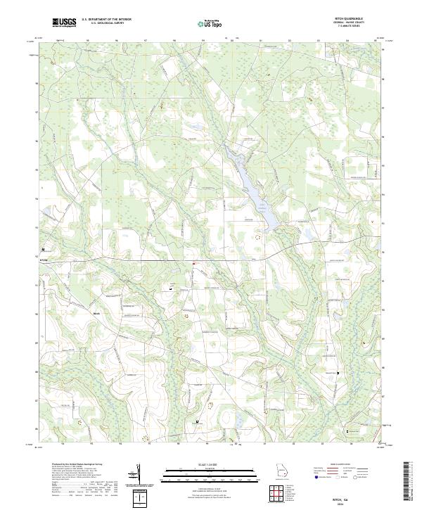
2024 Ritch
Wayne County, GA