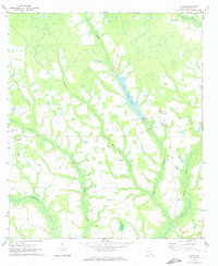
1971 Map of Ritch
USGS Topo · Published 1973About this map
Lake Lindsay Grace serves as a central landmark in this 1971 survey of Wayne County, Georgia, where the low-lying terrain is defined by a dense network of slow-moving watercourses. The landscape is heavily structured around Boggy Creek, Reedy Creek, and Colemans Creek, which eventually feed into the Little Satilla Cr. This pattern of drainage suggests a rural economy shaped by the wetlands and timber of the Coastal Plain.
Find a feature on this map
19 named features on this map. Tap any name to fly to it.
Don’t see what you’re looking for? This feature index may not catch every label — zoom into the map to look around manually.
Map Details
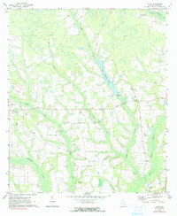
Editions of this 1971 Ritch Map
2 editions found
Other maps of this area

1918 · Jesup
USGS Topo · 1:62,500

1918 · Hortense
USGS Topo · 1:62,500

1943 · Jesup
USGS Topo · 1:62,500

1944 · Hortense
USGS Topo · 1:62,500

1946 · Brunswick
USGS Topo · 1:250,000

1948 · Brunswick
USGS Topo · 1:250,000

1953 · Waycross
USGS Topo · 1:250,000

1956 · Brunswick
USGS Topo · 1:250,000

1958 · Waycross
USGS Topo · 1:250,000

1961 · Brunswick
USGS Topo · 1:250,000