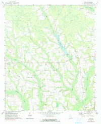
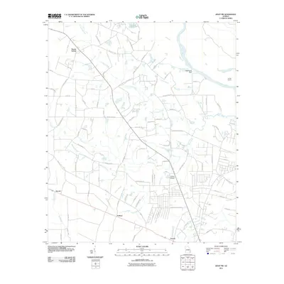
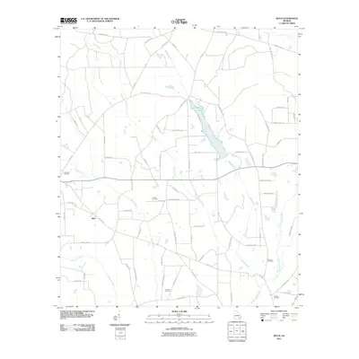
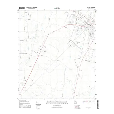
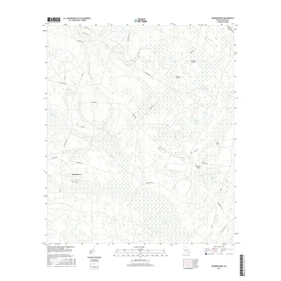
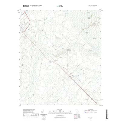
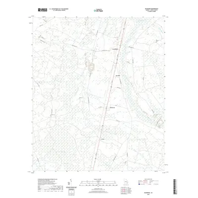
1971 Map of Ritch
USGS Topo · Published 1991About this map
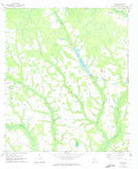
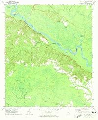
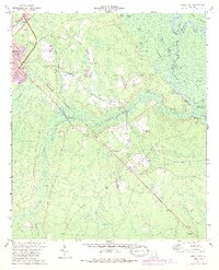
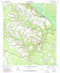
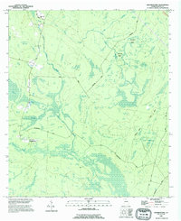
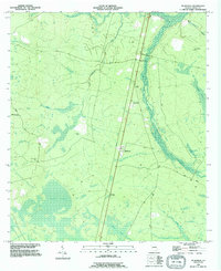
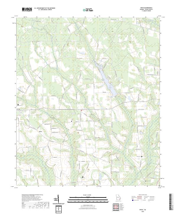
The Little Satilla River winds through this coastal plain landscape, defining a terrain of wetlands and slow-moving drainages in Wayne County. By the early 1970s, this area centered around Ritch was characterized by a dense network of small rural churches and family cemeteries, suggesting a long-standing community structure. Significant water features such as Boggy Creek, Dry Creek, and Lake Lindsay Grace dominate the topography, while land use is punctuated by a notable Sandpit and scattered agricultural clearings. Genealogists will find a wealth of local data in the various burial grounds and houses of worship, including Old Bethel Ch, Wesley Ch, and Old Ritch Cem. The map illustrates a quiet, inland Georgia economy shaped by the watercourses of Reedy Creek and Colemans Creek during a period of steady rural character.
Find a feature on this map
20 named features on this map. Tap any name to fly to it.
Don’t see what you’re looking for? This feature index may not catch every label — zoom into the map to look around manually.
Map Details
Editions of this 1971 Ritch Map
2 editions found
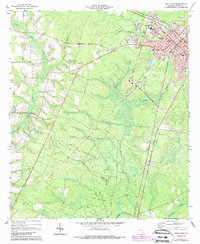
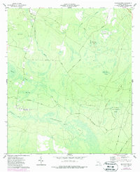
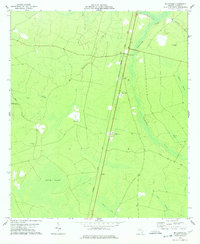
Historical Maps of Ritch Through Time
44 maps found
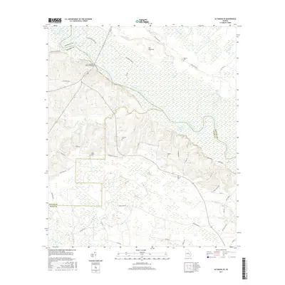
1970 Altamaha SE
Wayne County, GA
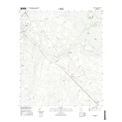
1970 Jesup East
Wayne County, GA
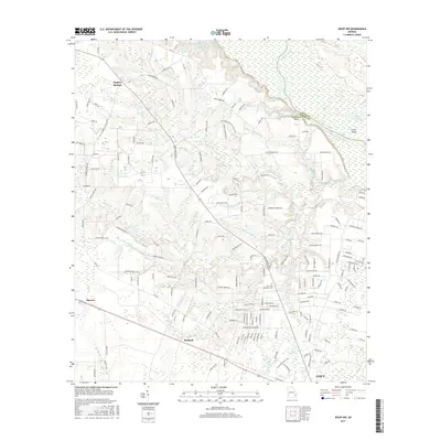
1970 Jesup NW
Wayne County, GA
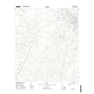
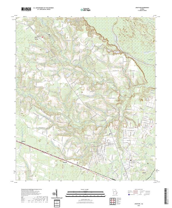
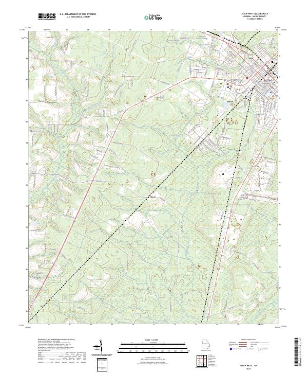
1970 Jesup West
Wayne County, GA
1971 Ritch
Wayne County, GA
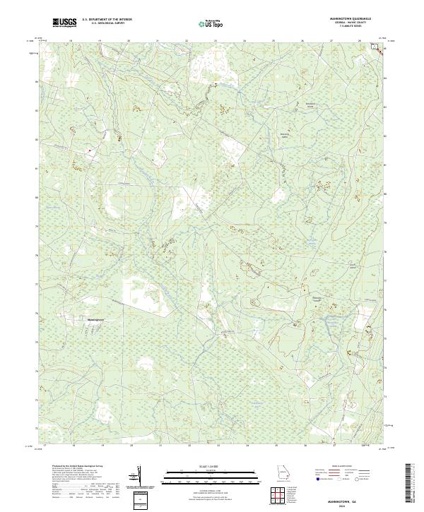
1977 Manningtown
Wayne County, GA
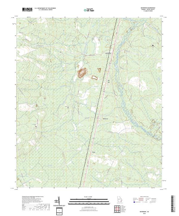
1978 Mc Kinnon
Wayne County, GA
1988 Manningtown
Wayne County, GA
1993 Mc Kinnon
Wayne County, GA
2011 Altamaha SE
Wayne County, GA
2011 Jesup East
Wayne County, GA
2011 Jesup NW
Wayne County, GA
2011 Jesup West
Wayne County, GA
2011 Manningtown
Wayne County, GA
2011 McKinnon
Wayne County, GA
2011 Ritch
Wayne County, GA
2014 Altamaha SE
Wayne County, GA
2014 Jesup East
Wayne County, GA
2014 Jesup NW
Wayne County, GA
2014 Jesup West
Wayne County, GA
2014 Manningtown
Wayne County, GA
2014 McKinnon
Wayne County, GA
2014 Ritch
Wayne County, GA
2017 Altamaha SE
Wayne County, GA
2017 Jesup East
Wayne County, GA
2017 Jesup NW
Wayne County, GA
2017 Jesup West
Wayne County, GA
2017 Manningtown
Wayne County, GA
2017 McKinnon
Wayne County, GA
2017 Ritch
Wayne County, GA
2020 Altamaha SE
Wayne County, GA
2020 Jesup East
Wayne County, GA
2020 Jesup NW
Wayne County, GA
2020 Jesup West
Wayne County, GA
2020 Manningtown
Wayne County, GA
2020 McKinnon
Wayne County, GA
2020 Ritch
Wayne County, GA
2024 Altamaha SE
Wayne County, GA
2024 Jesup East
Wayne County, GA
2024 Jesup NW
Wayne County, GA
2024 Jesup West
Wayne County, GA
2024 Manningtown
Wayne County, GA
2024 McKinnon
Wayne County, GA
2024 Ritch
Wayne County, GA