Loading...
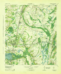
Loading map...1944 Map of Hortense
USGS Topo · Published 1944About this map
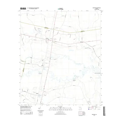
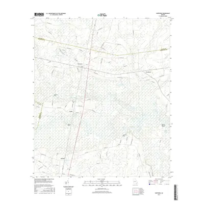
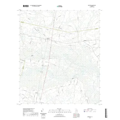
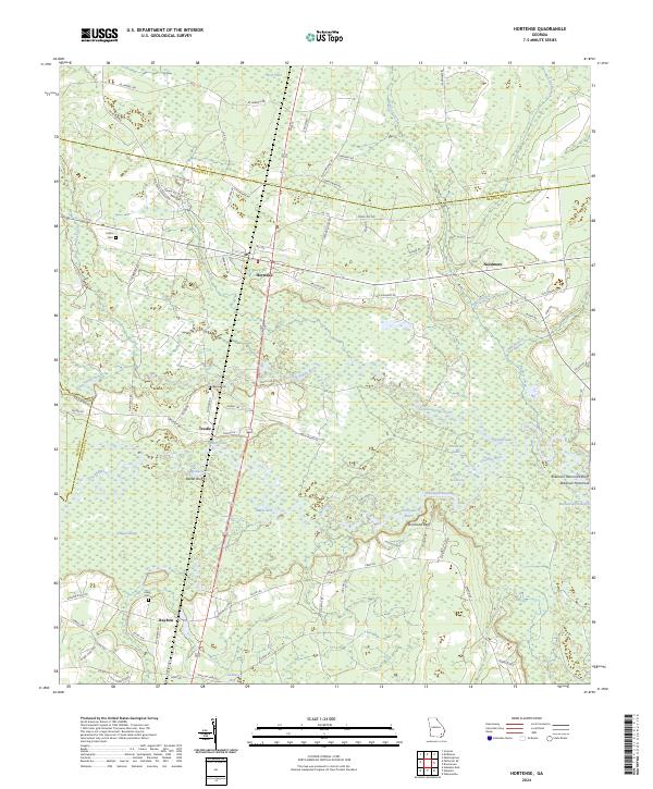
The Satilla River carves through the southern landscape of this 1944 War Department survey, where the river-based economy meets the expanding rail networks of the early twentieth century. This sheet captures a critical transition as two major rail lines, the Atlantic Coast Line and the Atlanta Birmingham and Coast, intersect near the community of Hortense. This junction supported small settlements and sidings like Broadhurst, McKinnon, and Manson.
Find a feature on this map
31 named features on this map. Tap any name to fly to it.
Don’t see what you’re looking for? This feature index may not catch every label — zoom into the map to look around manually.
Map Details
Date Portrayed1944
Date Published1944
PublisherU.S. Geological Survey
Map TypeTopographic
Scale1:62,500
Physical Dimensions17.9 x 21.7 inches
Editions of this 1944 Hortense Map
This is the sole edition of this map. No revisions or reprints were ever made.
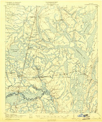
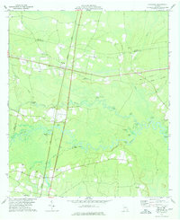
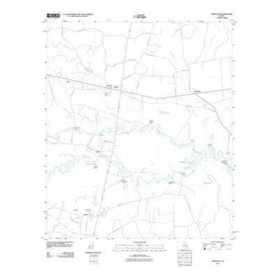
Historical Maps of Browntown Through Time
8 maps found
Featured Locations
Source Details
SourceU.S. Geological Survey
CopyrightPublic Domain