
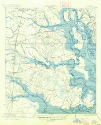
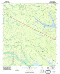
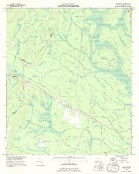
1920 Map of Everett City
USGS Topo · Published 1944About this map
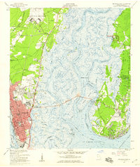
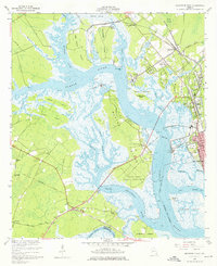
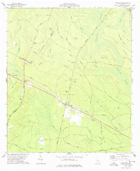
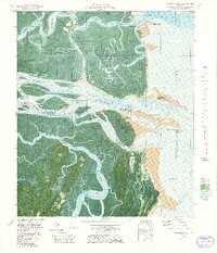
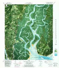
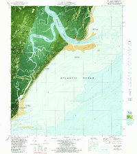
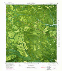
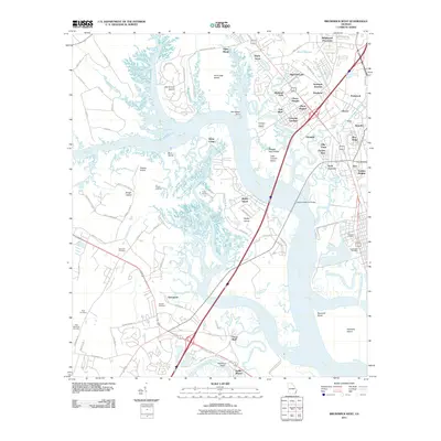
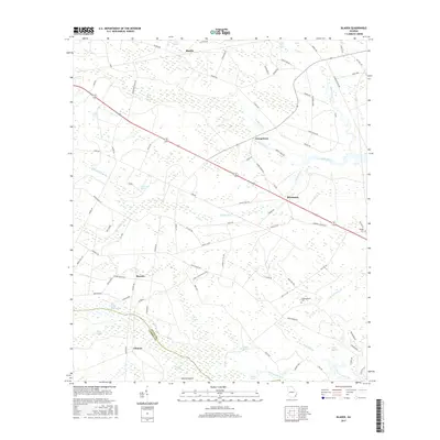
The Altamaha River corridor defines this coastal Georgia landscape, where a intricate network of islands and deep swamps met the expanding reach of early twentieth-century rail lines. Surveyed in 1917, the area shows a distinct transition from river-dependent infrastructure like Ft Barrington Ferry and Opossum Landing to a heavy concentration of inland railroad junctions. The crossing of the Southern Railway, Seaboard Air Line, and the Atlanta Birmingham and Atlantic Line established small rail-stop communities such as Thalmann, Everett City, and Anguilla. Local education for rural families was served by dispersed facilities including the Bull Island School and the Union Industrial School. The geography is characterized by named hammocks and islands like Jasmine Island and Joes Island rising above the expansive Buffalo Swamp, reflecting a period when timber and transport dictated the settlement patterns of western Glynn County.
Find a feature on this map
98 named features on this map. Tap any name to fly to it.
Don’t see what you’re looking for? This feature index may not catch every label — zoom into the map to look around manually.
Map Details
Editions of this 1920 Everett City Map
This is the sole edition of this map. No revisions or reprints were ever made.
Historical Maps of Pennick Through Time
52 maps found

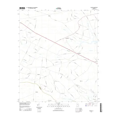
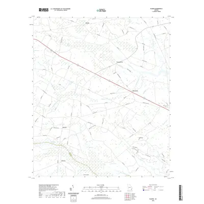
1918 Bladen
Glynn County, GA

1918 Everett City
Glynn County, GA
1920 Everett City
Glynn County, GA
1939 Bladen
Glynn County, GA

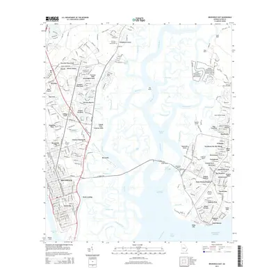
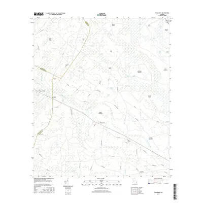
1944 Everett City
Glynn County, GA
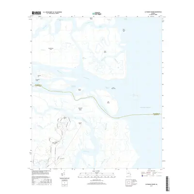
1954 Altamaha Sound
Glynn County, GA
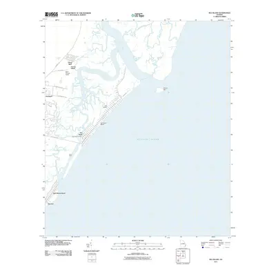
1955 Sea Island
Glynn County, GA
1956 Bladen
Glynn County, GA
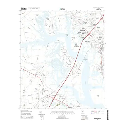
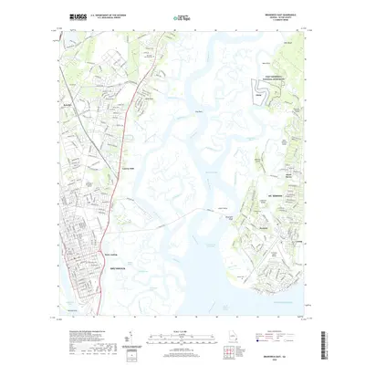
1956 Brunswick East
Glynn County, GA
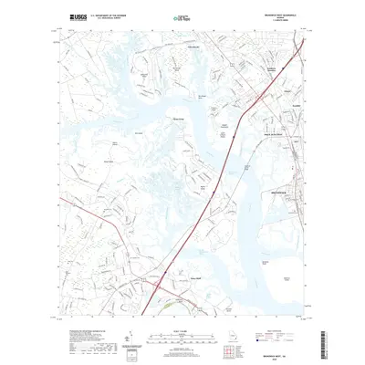
1956 Brunswick West
Glynn County, GA
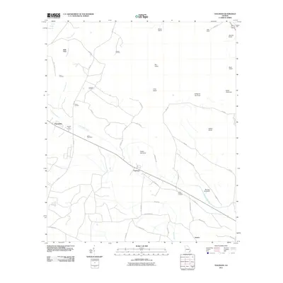
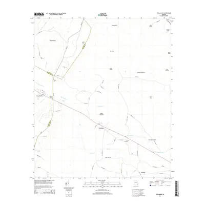
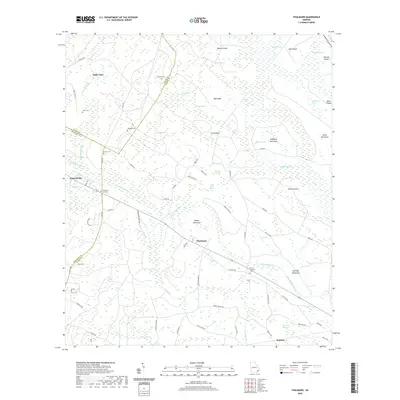
1978 Thalmann
Glynn County, GA
1979 Altamaha Sound
Glynn County, GA
1979 Brunswick East
Glynn County, GA

1979 Brunswick West
Glynn County, GA
1979 Sea Island
Glynn County, GA
1980 Bladen
Glynn County, GA
1993 Altamaha Sound
Glynn County, GA
1993 Bladen
Glynn County, GA
1993 Brunswick East
Glynn County, GA
1993 Brunswick West
Glynn County, GA
1993 Sea Island
Glynn County, GA
1993 Thalmann
Glynn County, GA
2011 Altamaha Sound
Glynn County, GA
2011 Bladen
Glynn County, GA
2011 Brunswick East
Glynn County, GA
2011 Brunswick West
Glynn County, GA
2011 Sea Island
Glynn County, GA
2011 Thalmann
Glynn County, GA

2014 Altamaha Sound
Glynn County, GA
2014 Bladen
Glynn County, GA
2014 Brunswick East
Glynn County, GA
2014 Brunswick West
Glynn County, GA

2014 Sea Island
Glynn County, GA
2014 Thalmann
Glynn County, GA
2017 Altamaha Sound
Glynn County, GA
2017 Bladen
Glynn County, GA
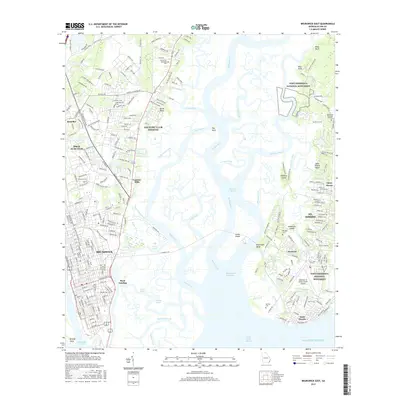
2017 Brunswick East
Glynn County, GA
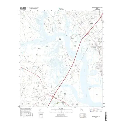
2017 Brunswick West
Glynn County, GA
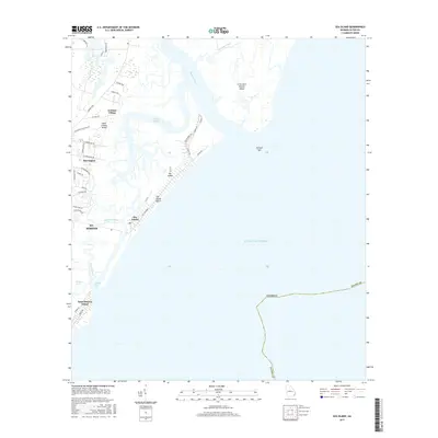
2017 Sea Island
Glynn County, GA
2017 Thalmann
Glynn County, GA

2020 Altamaha Sound
Glynn County, GA
2020 Bladen
Glynn County, GA
2020 Brunswick East
Glynn County, GA
2020 Brunswick West
Glynn County, GA

2020 Sea Island
Glynn County, GA
2020 Thalmann
Glynn County, GA
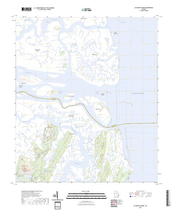
2024 Altamaha Sound
Glynn County, GA

2024 Bladen
Glynn County, GA
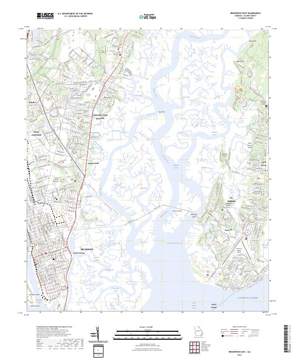
2024 Brunswick East
Glynn County, GA
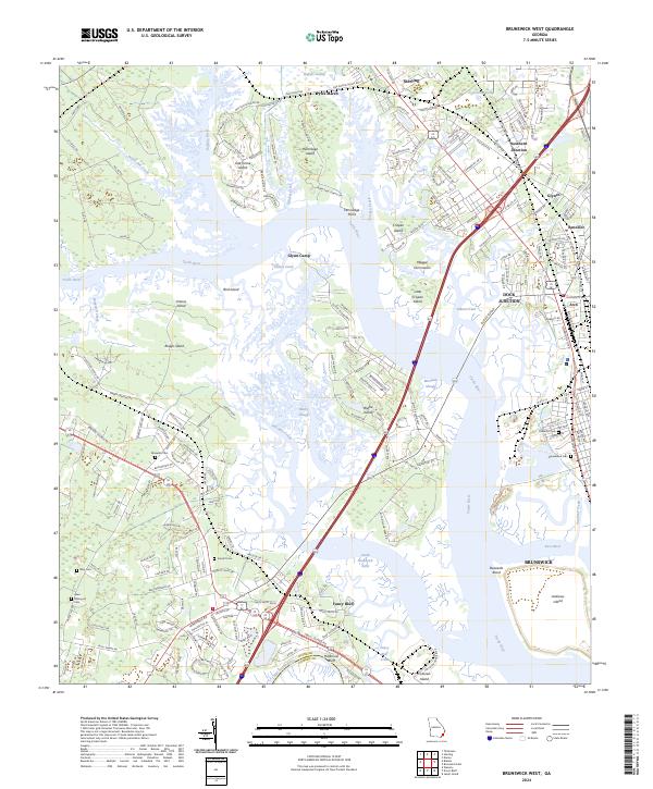
2024 Brunswick West
Glynn County, GA
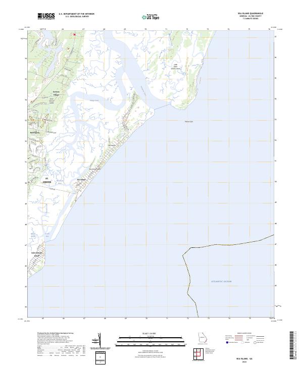
2024 Sea Island
Glynn County, GA
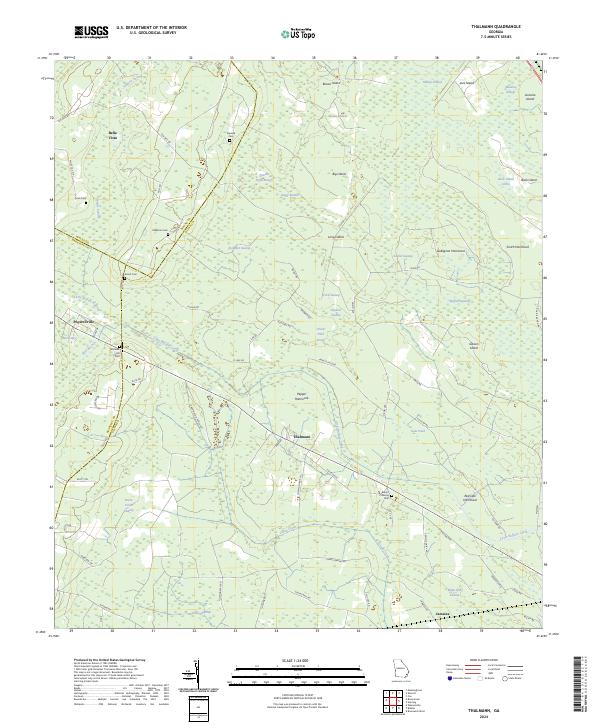
2024 Thalmann
Glynn County, GA