1921 Map of Darien
USGS Topo · Published 1937About this map
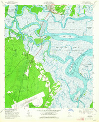
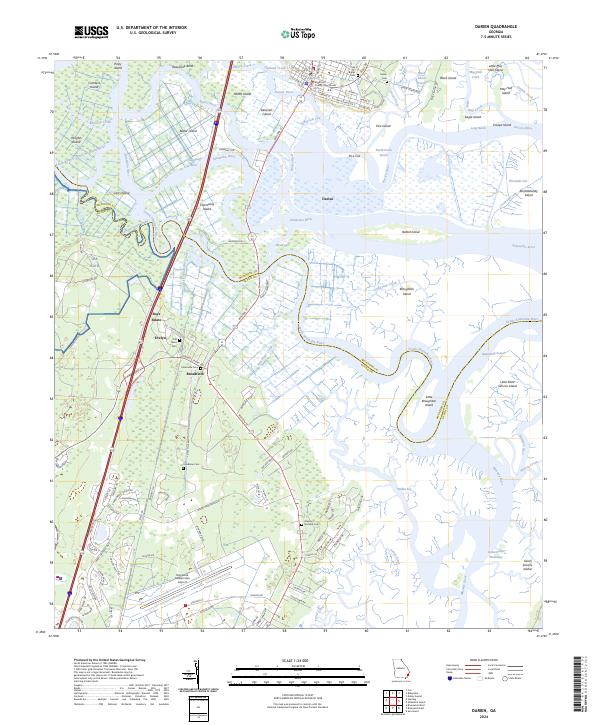
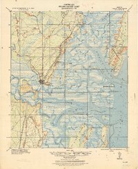
Darien serves as the focal point of this coastal landscape, situated at the confluence of the Darien River and a complex network of marshes. The Corps of Engineers document reveals an early 20th-century economy deeply tied to the waterways, illustrated by landmarks like the Butler Rice Mill Chimney and various navigation aids such as the Wolf I. Rear Range Beacon. Rail infrastructure is prominent, with the S. A. L. Ry. and G. C. & P. R. R. cutting through the terrain toward the coast.
Find a feature on this map
83 named features on this map. Tap any name to fly to it.
Don’t see what you’re looking for? This feature index may not catch every label — zoom into the map to look around manually.
Map Details
Editions of this 1921 Darien Map
This is the sole edition of this map. No revisions or reprints were ever made.
Historical Maps of Darien Through Time
9 maps found