
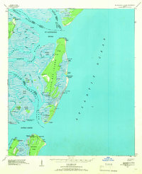
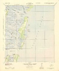
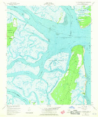
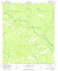
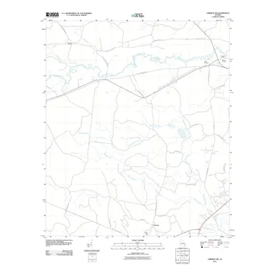
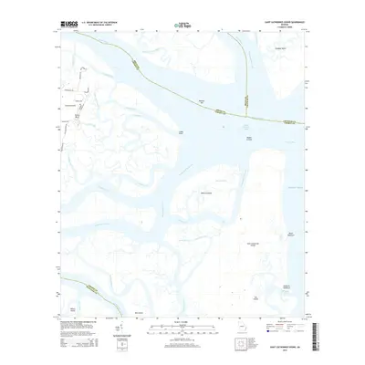
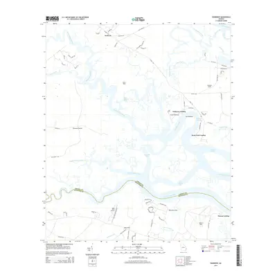
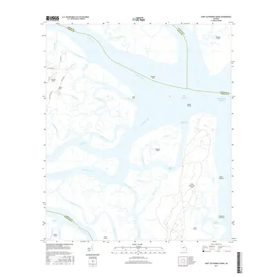
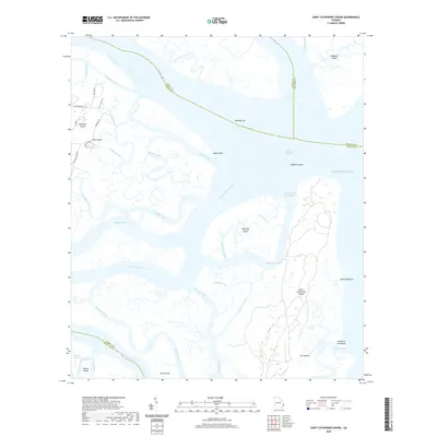
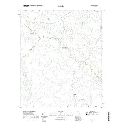
1928 Map of St Catherines Island
USGS Topo · Published 1928About this map
The coastal wilderness of St. Catherine's Island and its surrounding marshlands are documented here through fieldwork conducted in 1912 and 1918. This reconnaissance captures a transition point in Georgia's maritime history, showing the intricate network of tidal channels like the North Newport River and Timmons River before modern development. Notable human markers include Kollocks House West Gable and Bakers House & Chimney, which offer specific anchor points for local historians tracing early 20th-century residences. Further south, the map details specialized coastal infrastructure such as the Quarantine Stack, Quarantine Flagstaff, and Hospital N.E. Chimney near Sapelo Island, reflecting the era's focus on maritime health and navigation. The survey also delineates established landforms like Walburg Island and Blackbeard Island against the encroaching waters of Sapelo Sound and the Atlantic Ocean.
Find a feature on this map
40 named features on this map. Tap any name to fly to it.
Don’t see what you’re looking for? This feature index may not catch every label — zoom into the map to look around manually.
Map Details
Editions of this 1928 St Catherines Island Map
This is the sole edition of this map. No revisions or reprints were ever made.
Historical Maps of Chatham County Through Time
51 maps found

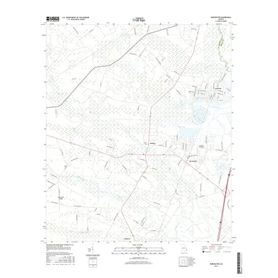
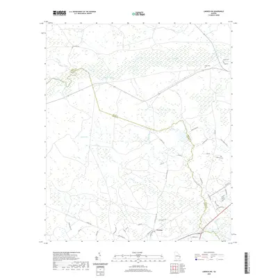
1920 Limerick
Liberty County, GA
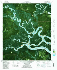
1928 St Catherines Island
Liberty County, GA
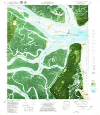
1943 St Catherines Island
Liberty County, GA

1944 Limerick
Liberty County, GA
1945 St. Catherine's Island
Liberty County, GA
1948 Limerick
Liberty County, GA

1950 Limerick
Liberty County, GA
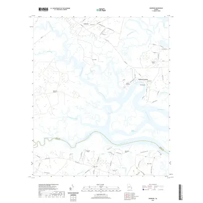
1954 Seabrook
Liberty County, GA
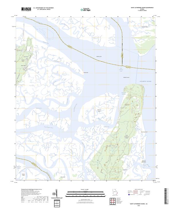
1954 St Catherines Sound
Liberty County, GA

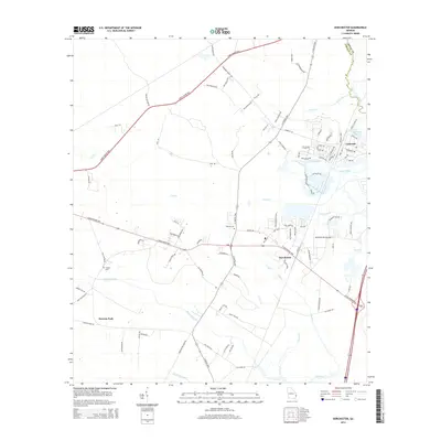
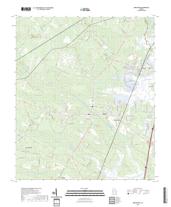
1958 Dorchester
Liberty County, GA
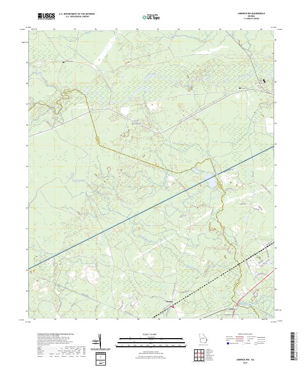
1958 Limerick NW
Liberty County, GA
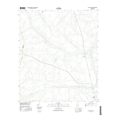
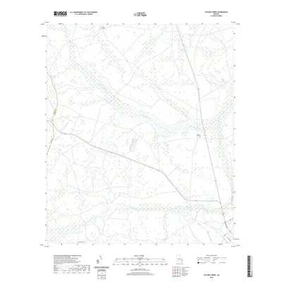
1958 Taylors Creek
Liberty County, GA
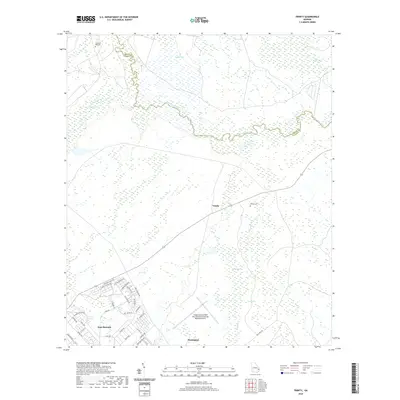
1958 Trinity
Liberty County, GA
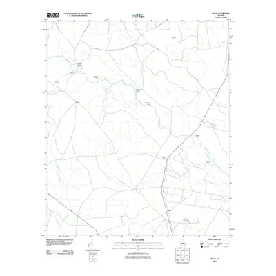
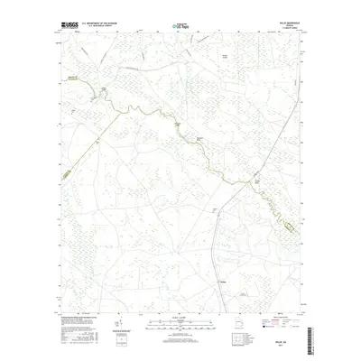
1958 Willie
Liberty County, GA
1979 Seabrook
Liberty County, GA
1979 St Catherines Sound
Liberty County, GA
2011 Dorchester
Liberty County, GA
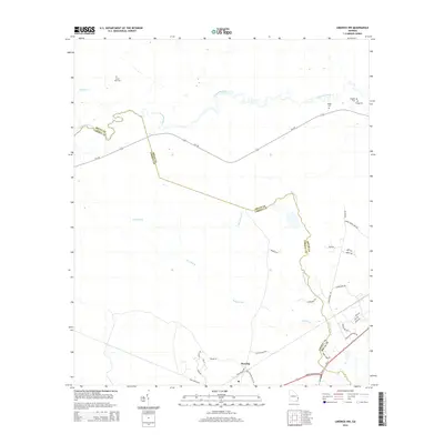
2011 Limerick NW
Liberty County, GA
2011 Saint Catherines Sound
Liberty County, GA
2011 Seabrook
Liberty County, GA
2011 Taylors Creek
Liberty County, GA

2011 Trinity
Liberty County, GA
2011 Willie
Liberty County, GA
2014 Dorchester
Liberty County, GA
2014 Limerick NW
Liberty County, GA
2014 Saint Catherines Sound
Liberty County, GA
2014 Seabrook
Liberty County, GA
2014 Taylors Creek
Liberty County, GA
2014 Trinity
Liberty County, GA
2014 Willie
Liberty County, GA
2017 Dorchester
Liberty County, GA
2017 Limerick NW
Liberty County, GA
2017 Saint Catherines Sound
Liberty County, GA
2017 Seabrook
Liberty County, GA
2017 Taylors Creek
Liberty County, GA

2017 Trinity
Liberty County, GA
2017 Willie
Liberty County, GA
2020 Dorchester
Liberty County, GA
2020 Limerick NW
Liberty County, GA
2020 Saint Catherines Sound
Liberty County, GA
2020 Seabrook
Liberty County, GA
2020 Taylors Creek
Liberty County, GA
2020 Trinity
Liberty County, GA
2020 Willie
Liberty County, GA
2024 Dorchester
Liberty County, GA
2024 Limerick NW
Liberty County, GA
2024 Saint Catherines Sound
Liberty County, GA
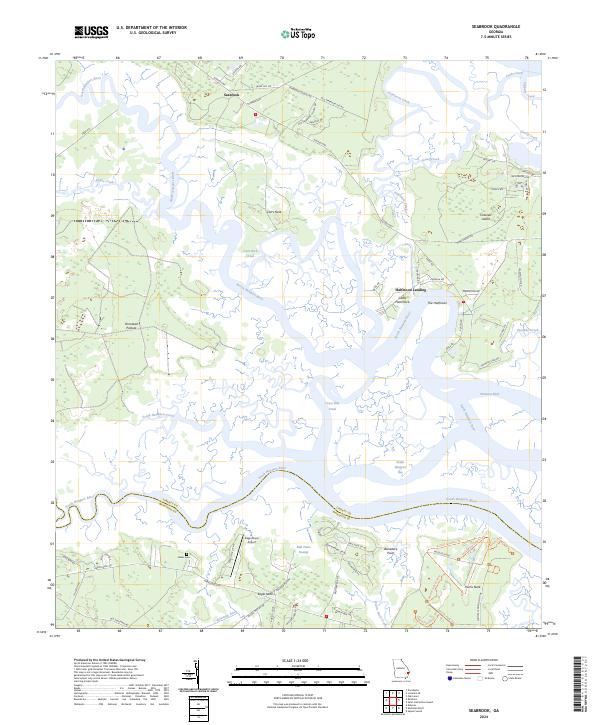
2024 Seabrook
Liberty County, GA
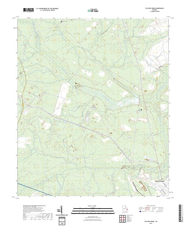
2024 Taylors Creek
Liberty County, GA
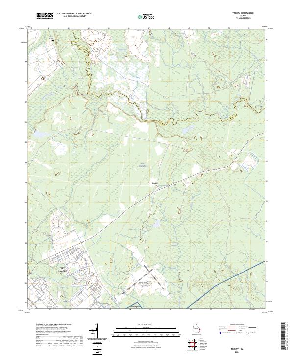
2024 Trinity
Liberty County, GA
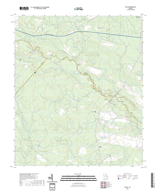
2024 Willie
Liberty County, GA