
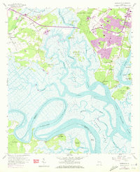
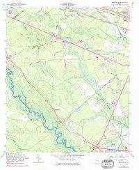
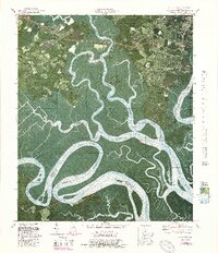
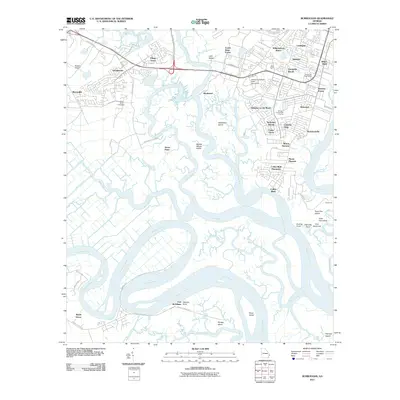
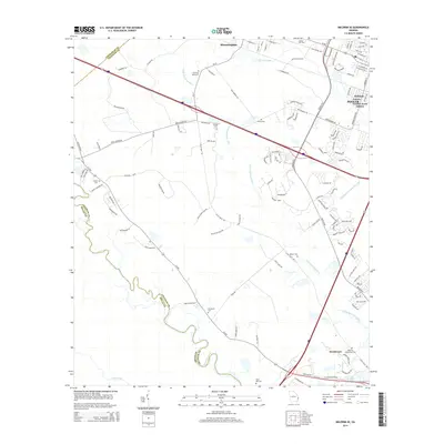
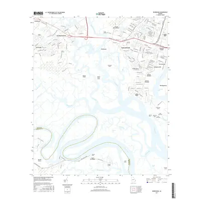
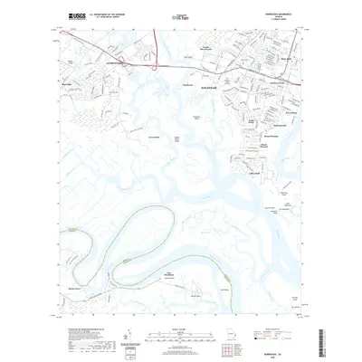
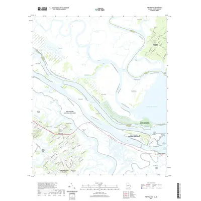
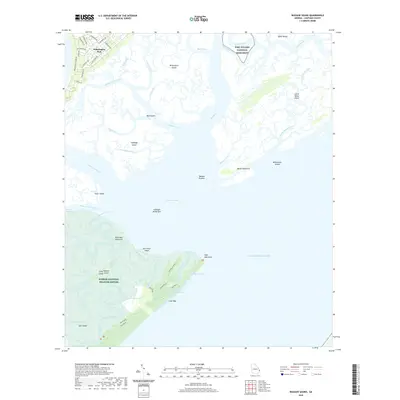
1944 Map of Ossabaw Island
USGS Topo · Published 1963About this map
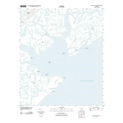
Ossabaw Island and the intricate tidal estuaries of coastal Georgia appear here as surveyed in the early 1940s. The landscape is defined by the massive network of the Ogeechee River, Vernon River, and Skidaway River, where historical landmarks like Fort McAllister and Cheves Mill Chimney stand as physical markers of the region's military and industrial past. To the north, established communities such as Vernonburg, Beaulieu, and the Isle of Hope Resort line the bluffs and riverbanks, while smaller settlements like Nicholsonville and Sand Fly suggest the local social fabric of Chatham County.
Find a feature on this map
79 named features on this map. Tap any name to fly to it.
Don’t see what you’re looking for? This feature index may not catch every label — zoom into the map to look around manually.
Map Details
Editions of this 1944 Ossabaw Island Map
This is the sole edition of this map. No revisions or reprints were ever made.
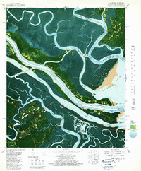
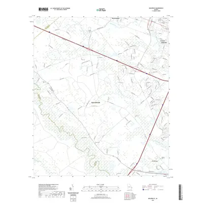
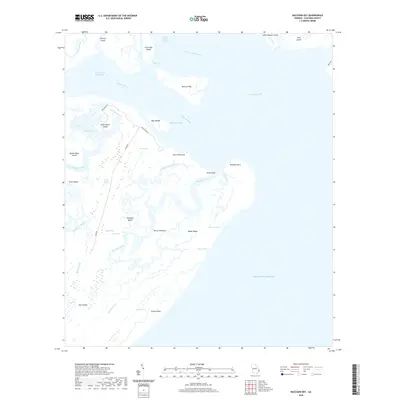
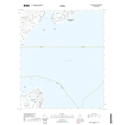
Historical Maps of Savannah Through Time
59 maps found
1944 Ossabaw Island
Chatham County, GA

1945 Ossabaw Island
Chatham County, GA
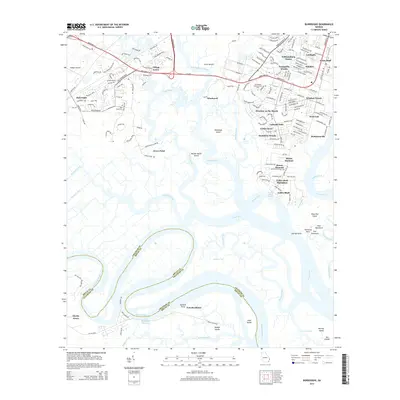
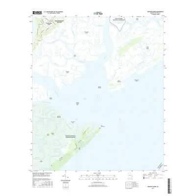
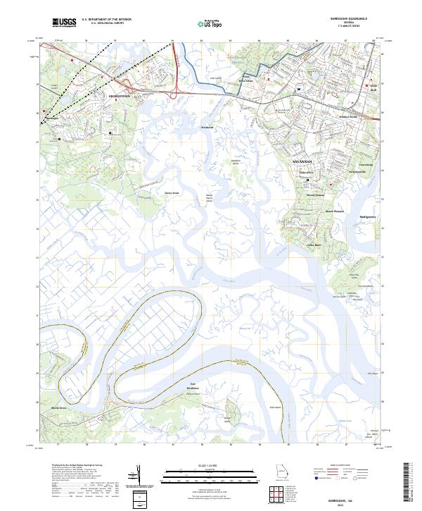
1957 Burroughs
Chatham County, GA
1957 Raccoon Key
Chatham County, GA
1957 Savannah Beach South
Chatham County, GA
1957 Wassaw Sound
Chatham County, GA
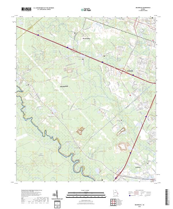
1958 Meldrim SE
Chatham County, GA
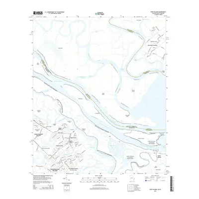
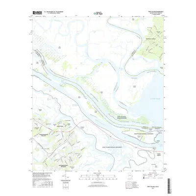
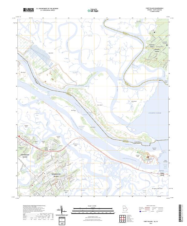
1978 Fort Pulaski
Chatham County, GA
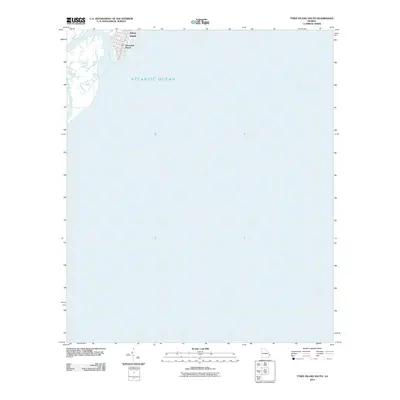
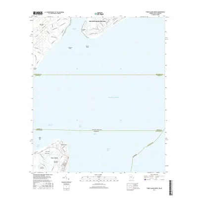
1978 Tybee Island North
Chatham County, GA
1978 Wassaw Sound
Chatham County, GA
1979 Burroughs
Chatham County, GA
1979 Raccoon Key
Chatham County, GA
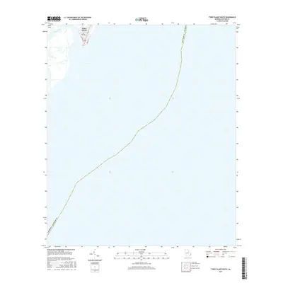
1979 Tybee Island South
Chatham County, GA
1980 Wassaw Sound
Chatham County, GA
2011 Burroughs
Chatham County, GA
2011 Fort Pulaski
Chatham County, GA
2011 Raccoon Key
Chatham County, GA

2011 Raccoon Key OE S
Chatham County, GA
2011 Tybee Island North
Chatham County, GA
2011 Tybee Island South
Chatham County, GA
2011 Wassaw Sound
Chatham County, GA

2011 Wassaw Sound OE S
Chatham County, GA

2012 Meldrim SE
Chatham County, GA
2014 Burroughs
Chatham County, GA
2014 Fort Pulaski
Chatham County, GA
2014 Meldrim SE
Chatham County, GA
2014 Raccoon Key
Chatham County, GA

2014 Raccoon Key OE S
Chatham County, GA
2014 Tybee Island North
Chatham County, GA

2014 Tybee Island South
Chatham County, GA
2014 Wassaw Sound
Chatham County, GA

2014 Wassaw Sound OE S
Chatham County, GA
2017 Burroughs
Chatham County, GA
2017 Fort Pulaski
Chatham County, GA
2017 Meldrim SE
Chatham County, GA
2017 Raccoon Key
Chatham County, GA

2017 Raccoon Key OE S
Chatham County, GA
2017 Tybee Island North
Chatham County, GA
2017 Tybee Island South
Chatham County, GA
2017 Wassaw Sound
Chatham County, GA

2017 Wassaw Sound OE S
Chatham County, GA
2020 Burroughs
Chatham County, GA
2020 Fort Pulaski
Chatham County, GA
2020 Meldrim SE
Chatham County, GA
2020 Raccoon Key
Chatham County, GA

2020 Raccoon Key OE S
Chatham County, GA
2020 Tybee Island North
Chatham County, GA

2020 Tybee Island South
Chatham County, GA
2020 Wassaw Sound
Chatham County, GA

2020 Wassaw Sound OE S
Chatham County, GA
2024 Burroughs
Chatham County, GA
2024 Fort Pulaski
Chatham County, GA
2024 Meldrim SE
Chatham County, GA
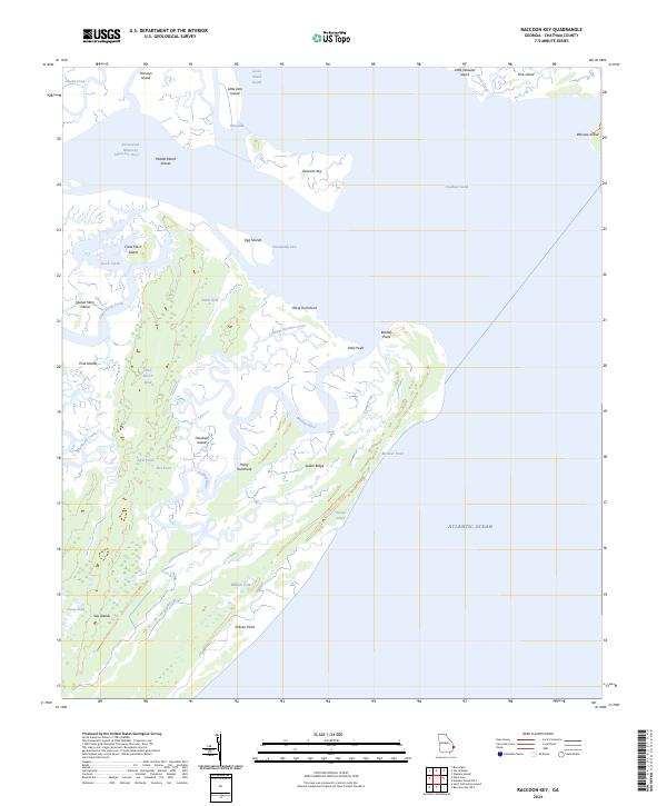
2024 Raccoon Key
Chatham County, GA
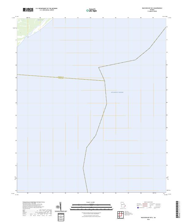
2024 Raccoon Key OE S
Chatham County, GA
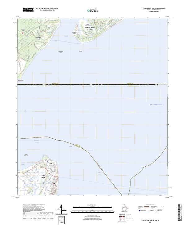
2024 Tybee Island North
Chatham County, GA
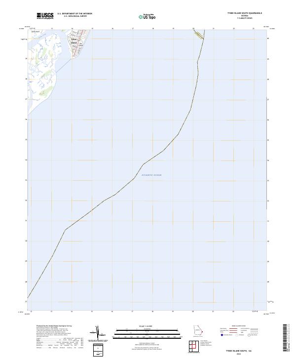
2024 Tybee Island South
Chatham County, GA
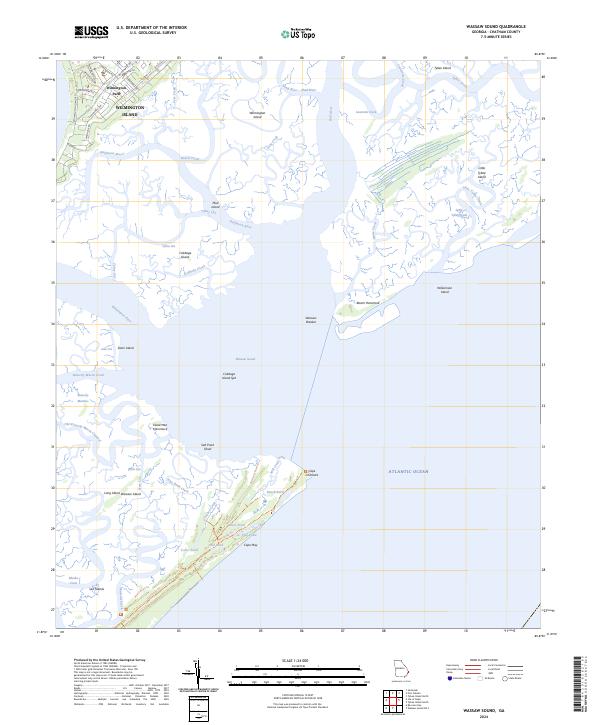
2024 Wassaw Sound
Chatham County, GA
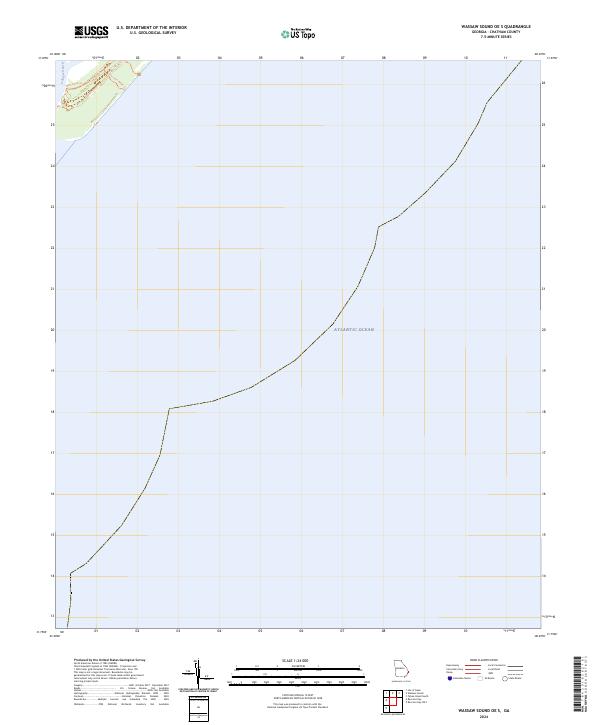
2024 Wassaw Sound OE S
Chatham County, GA