
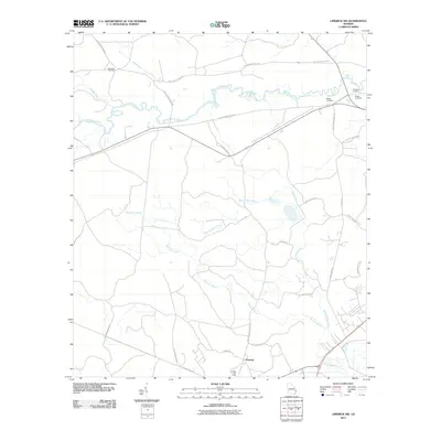
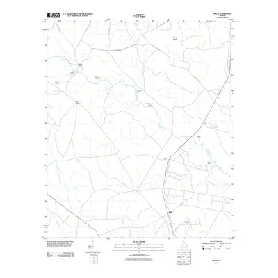
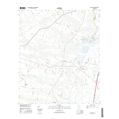
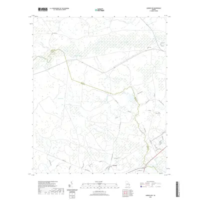
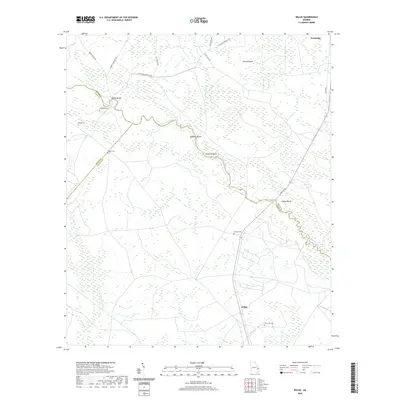
1944 Map of Limerick
USGS Topo · Published 1945About this map
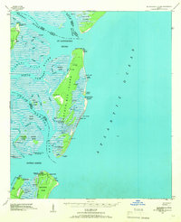
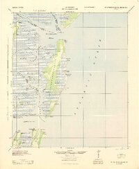
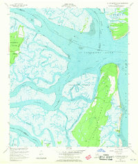
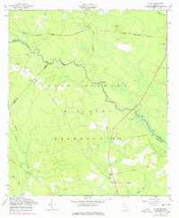
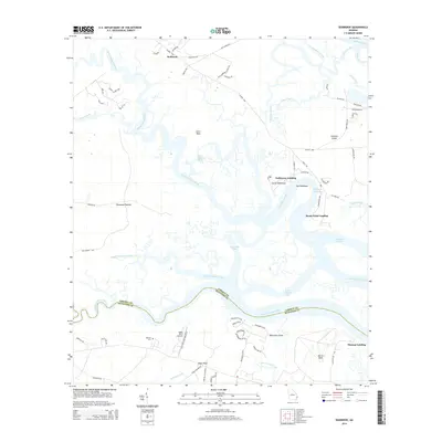
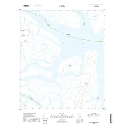
Camp Stewart Military Reservation dominates the northern landscape of this coastal Georgia region during the mid-1940s, its approximate boundary etched across the terrain just south of the Canoochee River. The area is a complex network of tidal waterways and low-lying islands, including the Isle of Wight and the expansive Dutchman Bay. The economy and transit of the era are defined by the Seaboard Railway and the Atlantic Coast Line, which connect small inland settlements like Limerick and Freedmans Grove to the larger coastal arteries. Numerous artesian wells, labeled as Art Well and Ogeechee Art Well, are scattered throughout the quadrangle, indicating the importance of groundwater for local residences and agriculture. Historical sites like Midway Ch and the settlement of Sunbury along the Medway River provide critical points of interest for those tracing the deep-rooted geography of Liberty and Bryan counties.
Find a feature on this map
44 named features on this map. Tap any name to fly to it.
Don’t see what you’re looking for? This feature index may not catch every label — zoom into the map to look around manually.
Map Details
Editions of this 1944 Limerick Map
This is the sole edition of this map. No revisions or reprints were ever made.
Historical Maps of Savannah Through Time
51 maps found

1920 Limerick
Liberty County, GA

1928 St Catherines Island
Liberty County, GA
1943 St Catherines Island
Liberty County, GA
1944 Limerick
Liberty County, GA
1945 St. Catherine's Island
Liberty County, GA
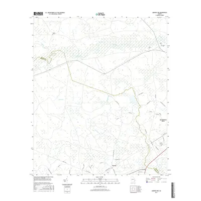
1948 Limerick
Liberty County, GA

1950 Limerick
Liberty County, GA
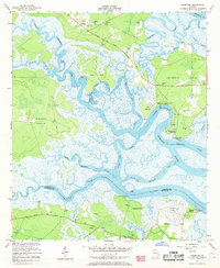
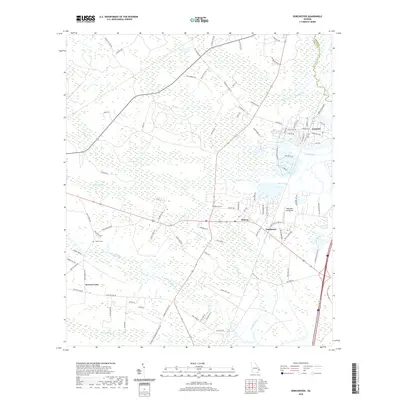
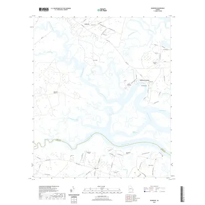
1954 Seabrook
Liberty County, GA
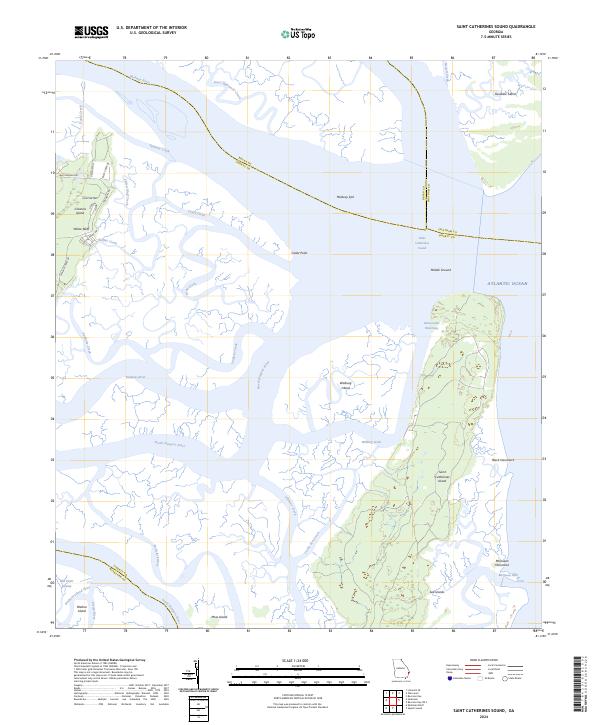
1954 St Catherines Sound
Liberty County, GA

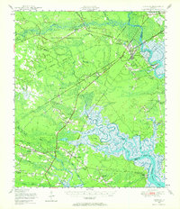
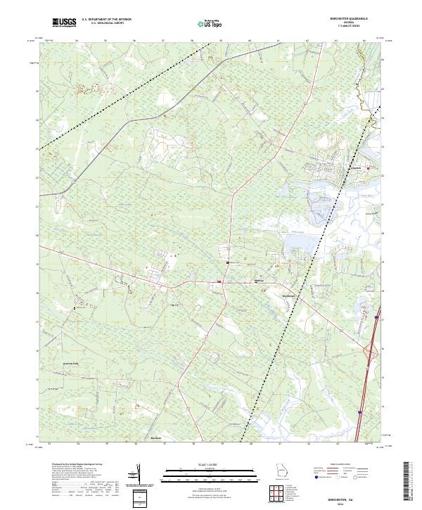
1958 Dorchester
Liberty County, GA
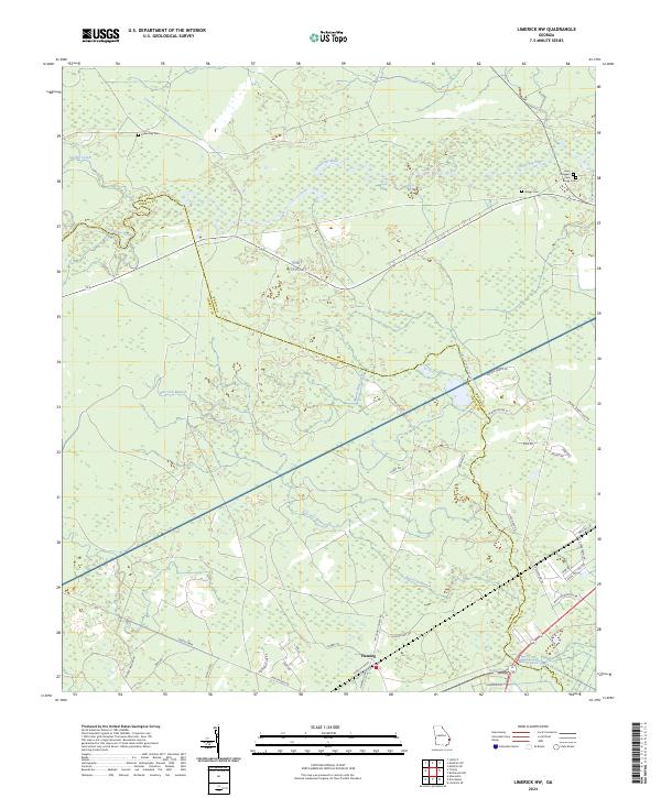
1958 Limerick NW
Liberty County, GA
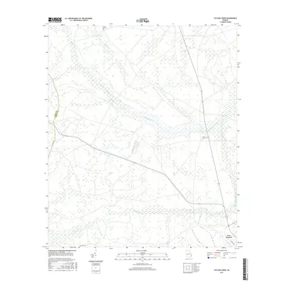
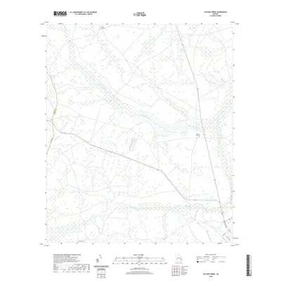
1958 Taylors Creek
Liberty County, GA
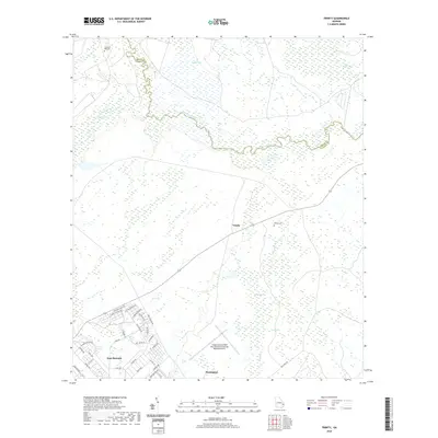
1958 Trinity
Liberty County, GA
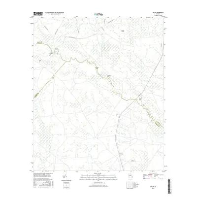
1958 Willie
Liberty County, GA
1979 Seabrook
Liberty County, GA
1979 St Catherines Sound
Liberty County, GA
2011 Dorchester
Liberty County, GA
2011 Limerick NW
Liberty County, GA
2011 Saint Catherines Sound
Liberty County, GA
2011 Seabrook
Liberty County, GA
2011 Taylors Creek
Liberty County, GA

2011 Trinity
Liberty County, GA
2011 Willie
Liberty County, GA
2014 Dorchester
Liberty County, GA
2014 Limerick NW
Liberty County, GA
2014 Saint Catherines Sound
Liberty County, GA
2014 Seabrook
Liberty County, GA
2014 Taylors Creek
Liberty County, GA
2014 Trinity
Liberty County, GA
2014 Willie
Liberty County, GA
2017 Dorchester
Liberty County, GA
2017 Limerick NW
Liberty County, GA
2017 Saint Catherines Sound
Liberty County, GA
2017 Seabrook
Liberty County, GA
2017 Taylors Creek
Liberty County, GA

2017 Trinity
Liberty County, GA
2017 Willie
Liberty County, GA
2020 Dorchester
Liberty County, GA
2020 Limerick NW
Liberty County, GA
2020 Saint Catherines Sound
Liberty County, GA
2020 Seabrook
Liberty County, GA
2020 Taylors Creek
Liberty County, GA
2020 Trinity
Liberty County, GA
2020 Willie
Liberty County, GA
2024 Dorchester
Liberty County, GA
2024 Limerick NW
Liberty County, GA
2024 Saint Catherines Sound
Liberty County, GA
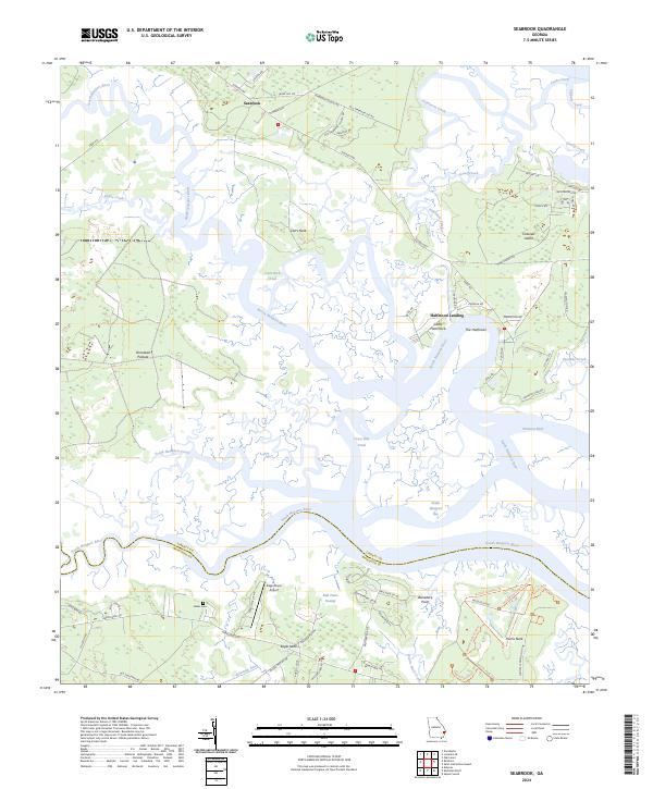
2024 Seabrook
Liberty County, GA
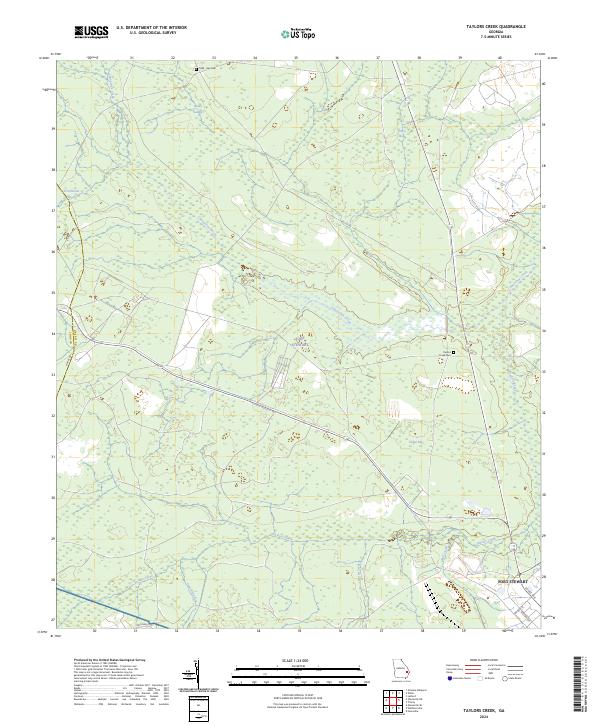
2024 Taylors Creek
Liberty County, GA
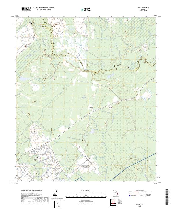
2024 Trinity
Liberty County, GA
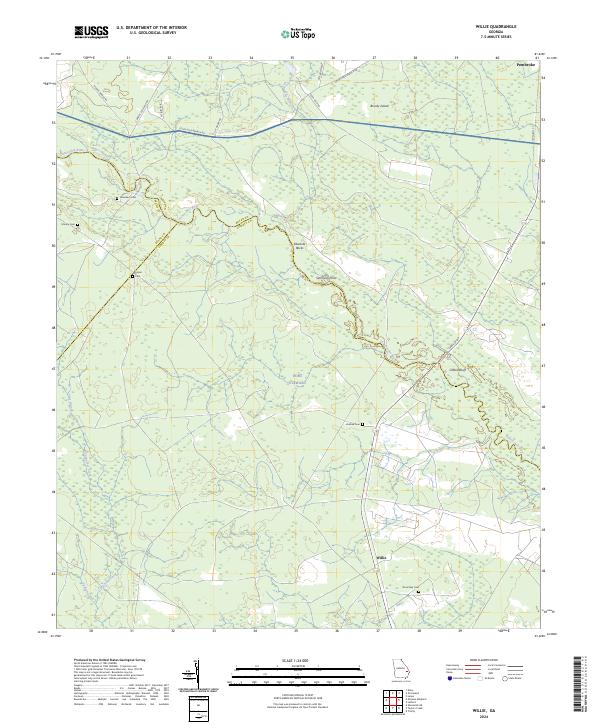
2024 Willie
Liberty County, GA