
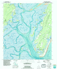
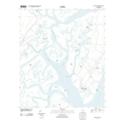
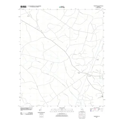
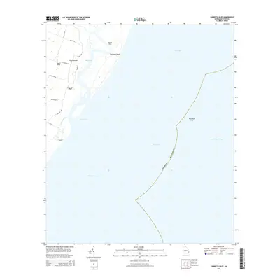
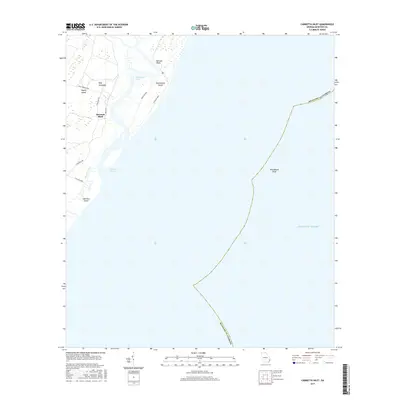
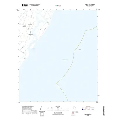
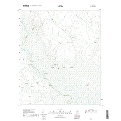
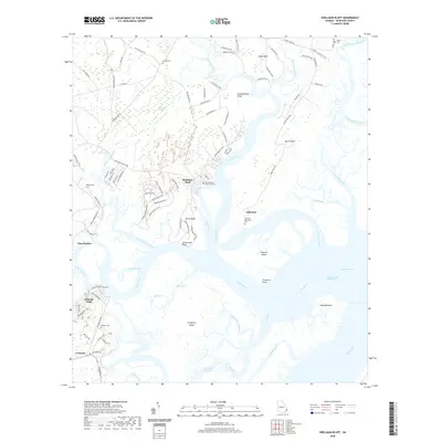
1920 Map of Cabretta Island
USGS Topo · Published 1920About this map
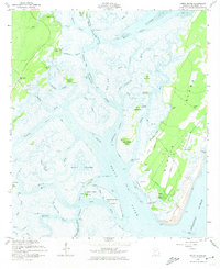
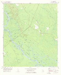
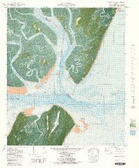
Sapelo Island and Blackbeard Island dominate this military reconnaissance sheet, providing a view of the Georgia coast's shifting barrier island topography following World War I. While much of the quadrangle is occupied by the Atlantic Ocean, the land details reveal a mix of marshland and sandy elevations. Several triangulation and survey stations, such as Palma 1859, Palm 1902, and Oyster, serve as critical geodetic markers, illustrating the long history of coastal mapping by the Corps of Engineers.
Find a feature on this map
21 named features on this map. Tap any name to fly to it.
Don’t see what you’re looking for? This feature index may not catch every label — zoom into the map to look around manually.
Map Details
Editions of this 1920 Cabretta Island Map
This is the sole edition of this map. No revisions or reprints were ever made.
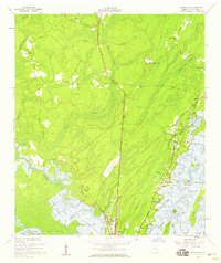
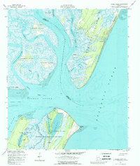
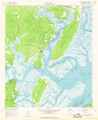
Historical Maps of Raccoon Bluff Through Time
55 maps found
1920 Cabretta Island
McIntosh County, GA

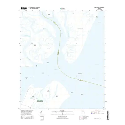
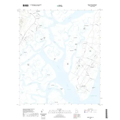
1920 Sapelo River
McIntosh County, GA

1943 Sapelo River
McIntosh County, GA

1944 Cabretta Island
McIntosh County, GA

1945 Sapelo River
McIntosh County, GA

1954 Cabretta Inlet
McIntosh County, GA
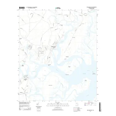
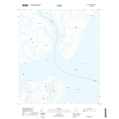
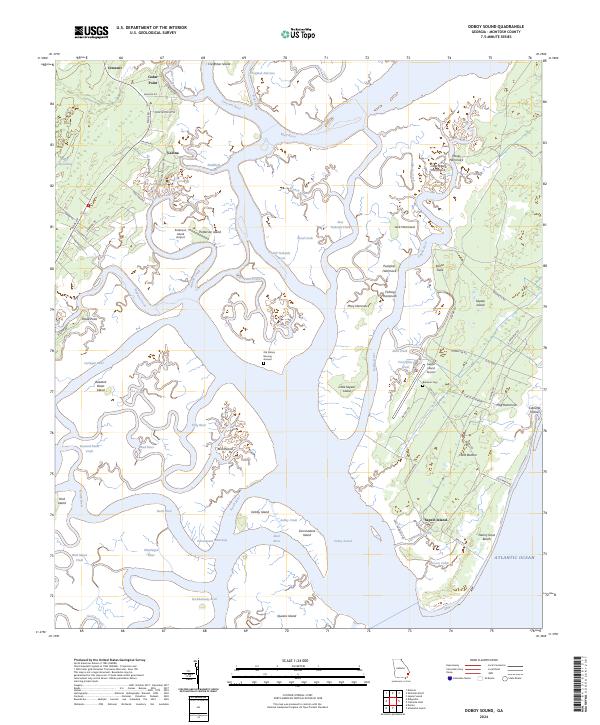
1954 Doboy Sound
McIntosh County, GA
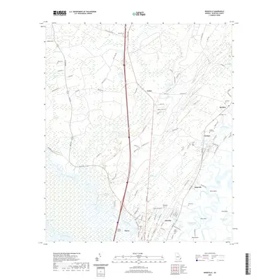
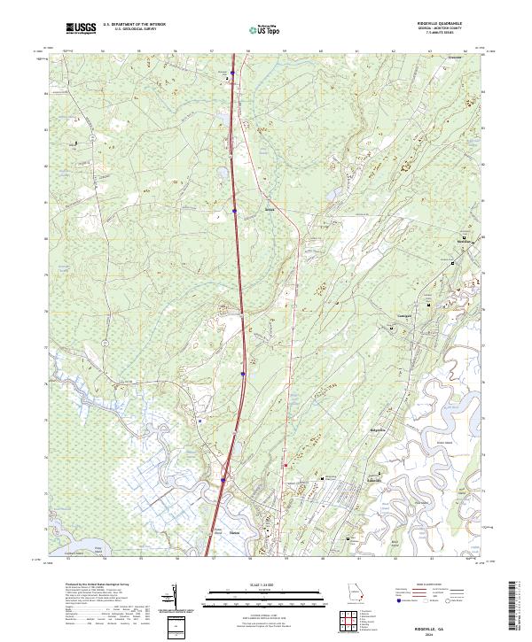
1954 Ridgeville
McIntosh County, GA
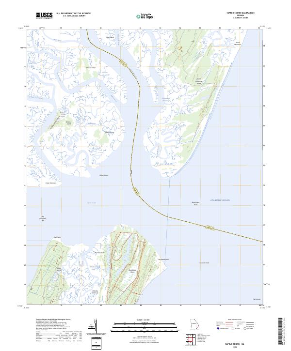
1954 Sapelo Sound
McIntosh County, GA
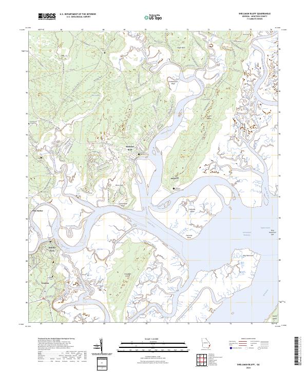
1954 Shellman Bluff
McIntosh County, GA
1978 Cox
McIntosh County, GA
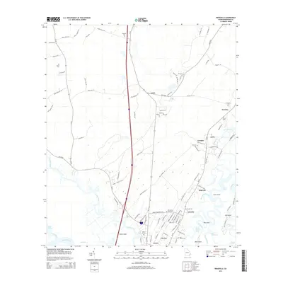
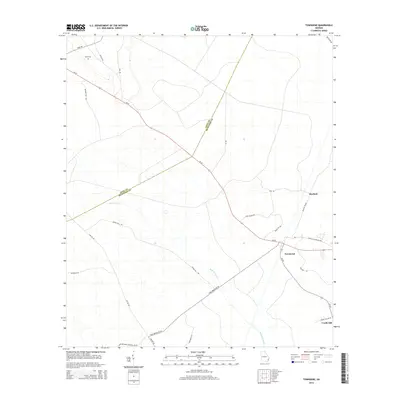
1978 Townsend
McIntosh County, GA
1979 Cabretta Inlet
McIntosh County, GA
1979 Doboy Sound
McIntosh County, GA
1979 Sapelo Sound
McIntosh County, GA
1979 Shellman Bluff
McIntosh County, GA
1980 Ridgeville
McIntosh County, GA
1993 Cabretta Inlet
McIntosh County, GA
1993 Doboy Sound
McIntosh County, GA
1993 Ridgeville
McIntosh County, GA
2011 Cabretta Inlet
McIntosh County, GA
2011 Cox
McIntosh County, GA
2011 Doboy Sound
McIntosh County, GA
2011 Ridgeville
McIntosh County, GA
2011 Sapelo Sound
McIntosh County, GA
2011 Shellman Bluff
McIntosh County, GA
2011 Townsend
McIntosh County, GA
2014 Cabretta Inlet
McIntosh County, GA
2014 Cox
McIntosh County, GA
2014 Doboy Sound
McIntosh County, GA
2014 Ridgeville
McIntosh County, GA
2014 Sapelo Sound
McIntosh County, GA
2014 Shellman Bluff
McIntosh County, GA
2014 Townsend
McIntosh County, GA
2017 Cabretta Inlet
McIntosh County, GA
2017 Cox
McIntosh County, GA
2017 Doboy Sound
McIntosh County, GA
2017 Ridgeville
McIntosh County, GA
2017 Sapelo Sound
McIntosh County, GA
2017 Shellman Bluff
McIntosh County, GA
2017 Townsend
McIntosh County, GA
2020 Cabretta Inlet
McIntosh County, GA
2020 Cox
McIntosh County, GA
2020 Doboy Sound
McIntosh County, GA
2020 Ridgeville
McIntosh County, GA
2020 Sapelo Sound
McIntosh County, GA
2020 Shellman Bluff
McIntosh County, GA
2020 Townsend
McIntosh County, GA
2024 Cabretta Inlet
McIntosh County, GA
2024 Cox
McIntosh County, GA
2024 Doboy Sound
McIntosh County, GA
2024 Ridgeville
McIntosh County, GA
2024 Sapelo Sound
McIntosh County, GA
2024 Shellman Bluff
McIntosh County, GA
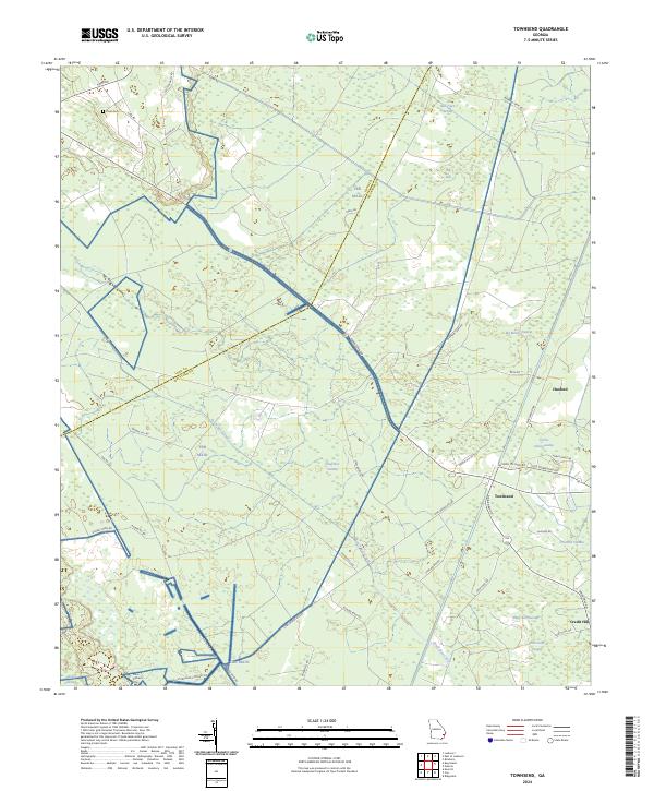
2024 Townsend
McIntosh County, GA