
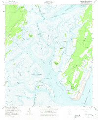
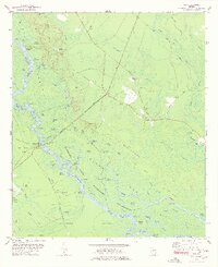
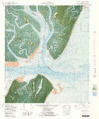
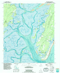
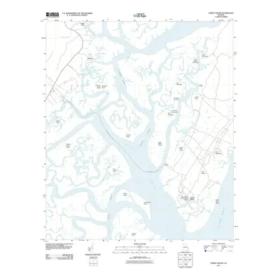
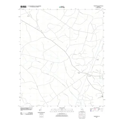
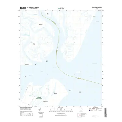
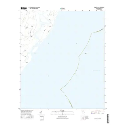
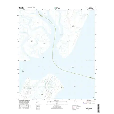
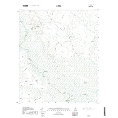
1945 Map of Sapelo River
USGS Topo · Published 1945About this map
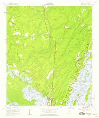
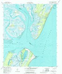
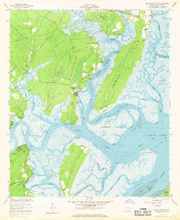
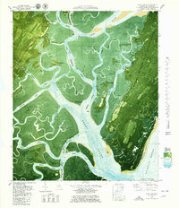
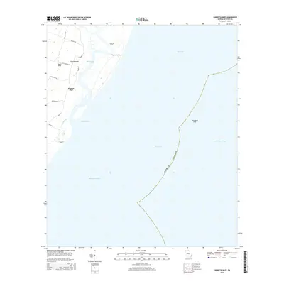
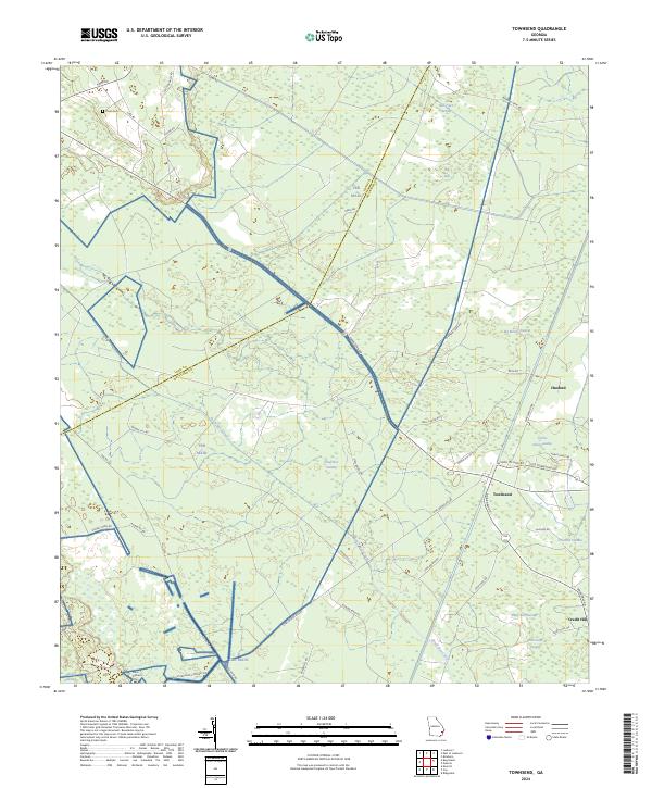
Southern Railway and Seaboard Air Line corridors define the inland transportation landscape of coastal Georgia, connecting small communities like Riceboro and LeCount through a network of sidings and depots. The coastal portion of the map is dominated by a complex tidal ecosystem where the South Newport River and Sapelo River weave through expansive marshes and named landmasses such as Colonels Island and Creighton Island.
Find a feature on this map
58 named features on this map. Tap any name to fly to it.
Don’t see what you’re looking for? This feature index may not catch every label — zoom into the map to look around manually.
Map Details
Editions of this 1945 Sapelo River Map
This is the sole edition of this map. No revisions or reprints were ever made.
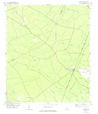
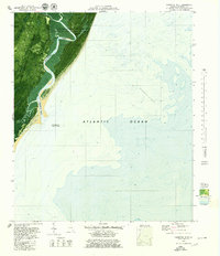
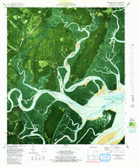
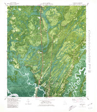
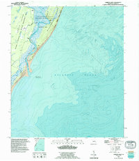
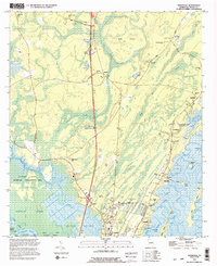
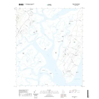
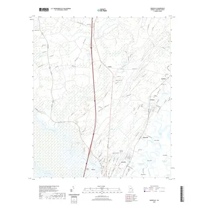
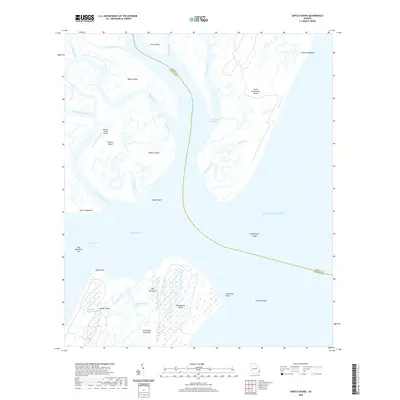
Historical Maps of Riceboro Through Time
55 maps found

1920 Cabretta Island
McIntosh County, GA

1920 Sapelo River
McIntosh County, GA

1943 Sapelo River
McIntosh County, GA

1944 Cabretta Island
McIntosh County, GA
1945 Sapelo River
McIntosh County, GA

1954 Cabretta Inlet
McIntosh County, GA
1954 Doboy Sound
McIntosh County, GA
1954 Ridgeville
McIntosh County, GA
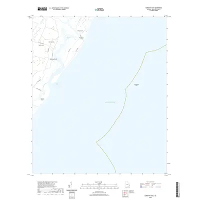
1954 Sapelo Sound
McIntosh County, GA
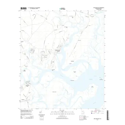
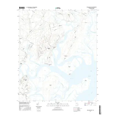
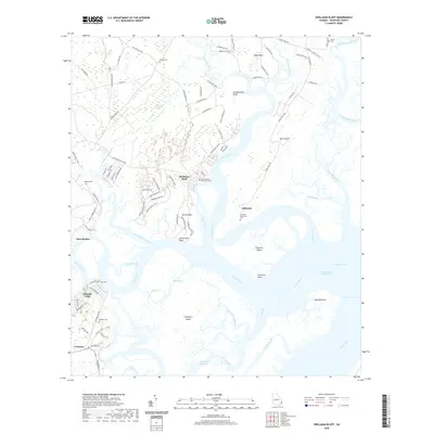
1954 Shellman Bluff
McIntosh County, GA
1978 Cox
McIntosh County, GA
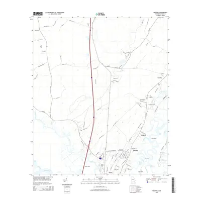
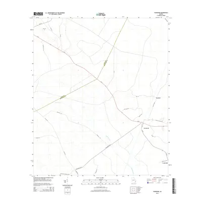
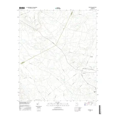
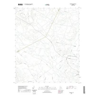
1978 Townsend
McIntosh County, GA
1979 Cabretta Inlet
McIntosh County, GA
1979 Doboy Sound
McIntosh County, GA
1979 Sapelo Sound
McIntosh County, GA
1979 Shellman Bluff
McIntosh County, GA
1980 Ridgeville
McIntosh County, GA
1993 Cabretta Inlet
McIntosh County, GA
1993 Doboy Sound
McIntosh County, GA
1993 Ridgeville
McIntosh County, GA
2011 Cabretta Inlet
McIntosh County, GA
2011 Cox
McIntosh County, GA
2011 Doboy Sound
McIntosh County, GA
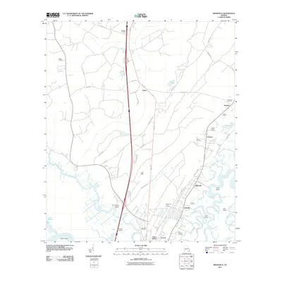
2011 Ridgeville
McIntosh County, GA
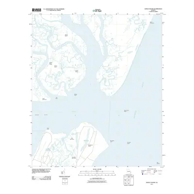
2011 Sapelo Sound
McIntosh County, GA
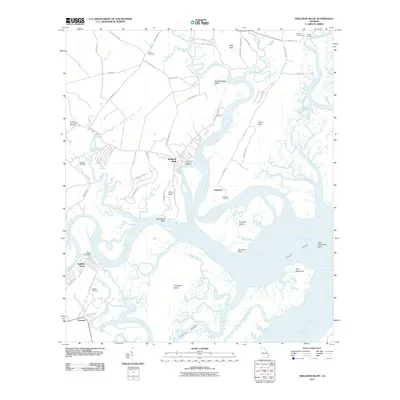
2011 Shellman Bluff
McIntosh County, GA
2011 Townsend
McIntosh County, GA
2014 Cabretta Inlet
McIntosh County, GA
2014 Cox
McIntosh County, GA
2014 Doboy Sound
McIntosh County, GA
2014 Ridgeville
McIntosh County, GA
2014 Sapelo Sound
McIntosh County, GA
2014 Shellman Bluff
McIntosh County, GA
2014 Townsend
McIntosh County, GA
2017 Cabretta Inlet
McIntosh County, GA
2017 Cox
McIntosh County, GA
2017 Doboy Sound
McIntosh County, GA
2017 Ridgeville
McIntosh County, GA
2017 Sapelo Sound
McIntosh County, GA
2017 Shellman Bluff
McIntosh County, GA
2017 Townsend
McIntosh County, GA
2020 Cabretta Inlet
McIntosh County, GA
2020 Cox
McIntosh County, GA
2020 Doboy Sound
McIntosh County, GA
2020 Ridgeville
McIntosh County, GA
2020 Sapelo Sound
McIntosh County, GA
2020 Shellman Bluff
McIntosh County, GA
2020 Townsend
McIntosh County, GA
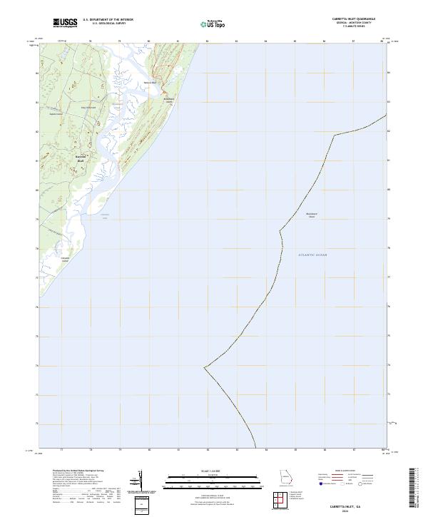
2024 Cabretta Inlet
McIntosh County, GA
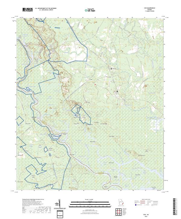
2024 Cox
McIntosh County, GA
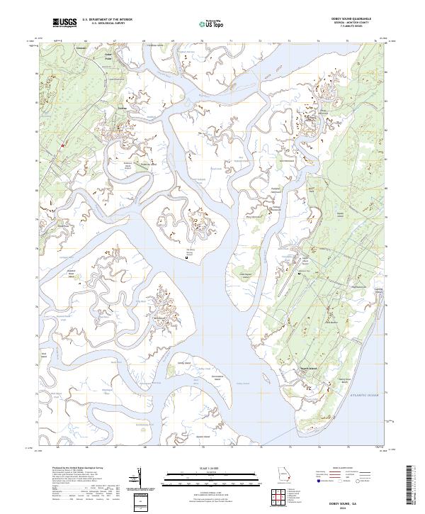
2024 Doboy Sound
McIntosh County, GA
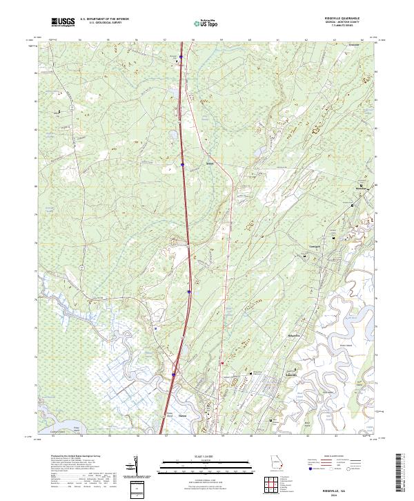
2024 Ridgeville
McIntosh County, GA
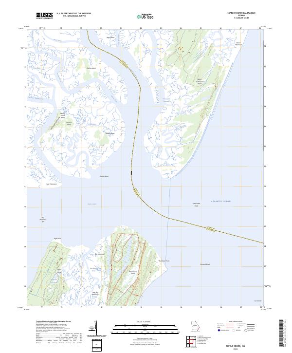
2024 Sapelo Sound
McIntosh County, GA
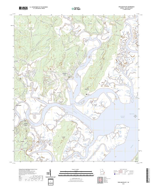
2024 Shellman Bluff
McIntosh County, GA
2024 Townsend
McIntosh County, GA