Old Maps of Oberry, Georgia for Genealogy
Trace your family roots with 11 historic maps of Oberry. These high-res maps reveal old neighborhoods, homesites, landmarks, and streets — helping you uncover where your ancestors lived and how the area evolved over time.
- Explore historic neighborhoods: Identify where your relatives may have lived in the 1800s or 1900s.
- Compare maps over time: Trace the changes in streets, buildings, and landmarks for multi-generational research.
- Perfect for genealogy & ancestry research: Used by family historians and researchers to map out lineage and migration.
These maps are an incredible resource for exploring your personal connection to Oberry's past.
Oberry, GA maps
(11)- 1953 Map of Waycross, 1967 Print
 1953 Waycross1967 Print · USGSSouth Georgia's agricultural and rail heartland is captured here in the mid-1950s, showing a vast network of timber and farming towns. Researchers can trace the rail lines connecting Waycross and Tifton or locate landmarks like Jefferson Davis State Park and Lake Blackshear.2 unique versions available
 - 1958 Map of Waycross
 1958 Waycross1958 Print · USGSSoutheast Georgia in the late fifties remains a landscape of deep river basins and vital rail junctions. Genealogists and historians can trace family-named landmarks and rural hubs like Union Church, South Georgia College, and the sprawling Okefenokee Swamp.2 unique versions available
 - 1972 Map of Mora, 1987 Print
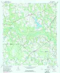 1972 Mora1987 Print · USGSThe Coffee and Atkinson county line in the early 1970s features a rural landscape defined by the Satilla River and the SOU railroad. Genealogists can locate old family-named sites such as Mora, Oberry, and Hebron Ch.
 - 1977 Map of Mora
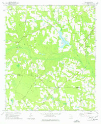 1977 Mora1977 Print · USGSThe rural border of Coffee and Atkinson Counties in the late seventies is characterized by the Satilla River and the Central of Georgia rail line. Genealogists can locate family sites near Mora, Oberry, and country churches like Arnie Ch.
 - 1978 Map of Waycross, 1982 Print
 1978 Waycross1982 Print · USGSSoutheast Georgia in the late seventies is a landscape of vast wetlands and busy rail junctions. Genealogists and local historians can trace the Seaboard Coast Line through rural stops like Millwood and Pearson or locate family sites near the Okefenokee Swamp.
 - 1988 Map of Waycross
 1988 Waycross1988 Print · USGSSouth Georgia's wiregrass and timber country is documented here in the late eighties, centered on the vital rail junction of Waycross. Genealogists and historians can trace the rural landscape from Okefenokee up to the Ocmulgee, finding sites like Lumber City and Jefferson Davis Memorial State Park.
 - 2011 Map of Mora, 2011 Print
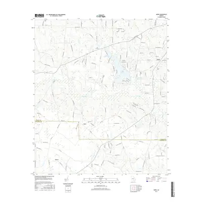
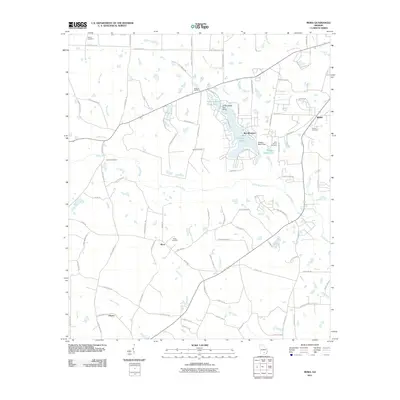 2011 Mora2011 Print · USGSCovers Oberry, including Douglas, Bethel, and other nearby areas
 - 2014 Map of Mora, 2014 Print
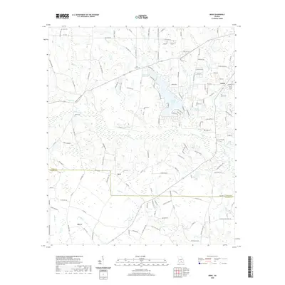
 2014 Mora2014 Print · USGSCovers Oberry, including Douglas, Bethel, and other nearby areas
 - 2017 Map of Mora, 2017 Print
 2017 Mora2017 Print · USGSCovers Oberry, including Douglas, Bethel, and other nearby areas
 - 2020 Map of Mora, 2020 Print
 2020 Mora2020 Print · USGSCovers Oberry, including Douglas, Bethel, and other nearby areas
 - 2024 Map of Mora, 2024 Print
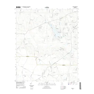
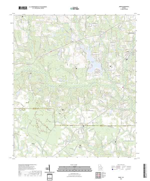 2024 Mora2024 Print · USGSCoastal plain settlements and family burial grounds dot the Coffee and Atkinson county lines in recent years. Researchers can trace the roots of rural communities like Mora and Oberry while locating landmarks such as Arna Primitive Baptist Church and Saint Illa Cem.
End of results
Showing maps 1-11 of 11
Top cities near Oberry
- Douglas historical maps
- Pearson historical maps
- Willacoochee historical maps
- Broxton historical maps
- Ambrose historical maps
Frequently asked questions
- What are the different types of historical maps available for Oberry?
- What is the oldest map of Oberry?
- Where can I purchase historical maps of Oberry for my home or office?
- Where can I download high-res historical maps of Oberry?
- Are there historical topographic maps available for Oberry?
- Is there historical aerial imagery available for Oberry?
- Where are historical maps of Oberry sourced from?