Old Maps of Pearson, Georgia for Academic Research
Study the evolution of Pearson with 16 high-resolution historic maps. Whether you're teaching, researching, or modeling changes in land use, these maps provide essential visual documentation of urban, environmental, and geographic change.
- Analyze long-term change: Track patterns in development, transportation, and natural features.
- Ideal for environmental or urban studies: Support academic projects with primary historical map data.
- Use in the classroom or lab: Educators and researchers rely on these maps to bring historical context to life.
These maps are a powerful tool for teaching, research, and visualizing how Pearson has changed over the decades.
Pearson, GA maps
(16)- 1953 Map of Waycross, 1967 Print
 1953 Waycross1967 Print · USGSSouth Georgia's agricultural and rail heartland is captured here in the mid-1950s, showing a vast network of timber and farming towns. Researchers can trace the rail lines connecting Waycross and Tifton or locate landmarks like Jefferson Davis State Park and Lake Blackshear.2 unique versions available
 - 1958 Map of Waycross
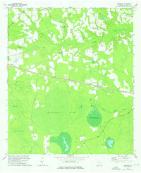
 1958 Waycross1958 Print · USGSSoutheast Georgia in the late fifties remains a landscape of deep river basins and vital rail junctions. Genealogists and historians can trace family-named landmarks and rural hubs like Union Church, South Georgia College, and the sprawling Okefenokee Swamp.2 unique versions available
 - 1971 Map of Pearson, 1974 Print
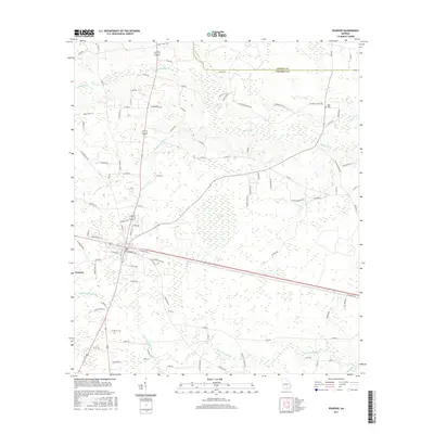
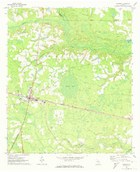 1971 Pearson1974 Print · USGSPearson and the surrounding Georgia coastal plain are captured here in the early 1970s as the regional rail and road networks intersected. Researchers can trace family history through local landmarks like Kight Cem, Refuge Ch, and Mt Zion Ch.2 unique versions available
 - 1972 Map of Kirkland, 1976 Print
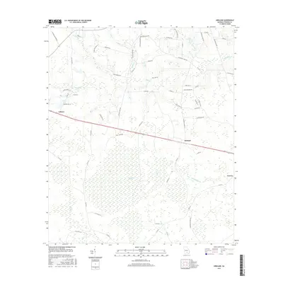
 1972 Kirkland1976 Print · USGSAtkinson County, Georgia, is defined by its rail-dependent settlements and sprawling wetlands in the early seventies. Genealogists and local historians can trace the community life of the era through sites like Antioch Ch, Kirkland, and the Seaboard Coast Line railroad.2 unique versions available
 - 1978 Map of Waycross, 1982 Print
 1978 Waycross1982 Print · USGSSoutheast Georgia in the late seventies is a landscape of vast wetlands and busy rail junctions. Genealogists and local historians can trace the Seaboard Coast Line through rural stops like Millwood and Pearson or locate family sites near the Okefenokee Swamp.
 - 1988 Map of Waycross
 1988 Waycross1988 Print · USGSSouth Georgia's wiregrass and timber country is documented here in the late eighties, centered on the vital rail junction of Waycross. Genealogists and historians can trace the rural landscape from Okefenokee up to the Ocmulgee, finding sites like Lumber City and Jefferson Davis Memorial State Park.
 - 2011 Map of Pearson, 2011 Print
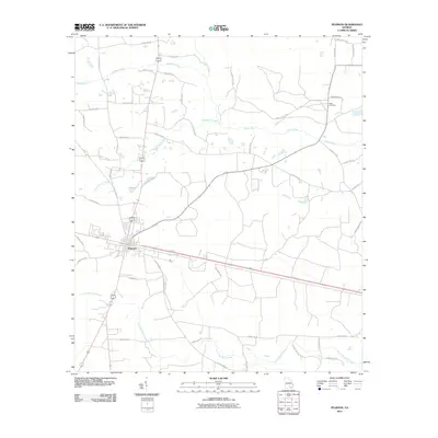 2011 Pearson2011 Print · USGSCovers Pearson, including Coffee County, Atkinson County, and other nearby areas
 - 2011 Map of Kirkland, 2011 Print
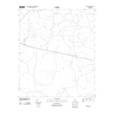 2011 Kirkland2011 Print · USGSCovers Pearson, including Kirkland, Atkinson County, and other nearby areas
 - 2014 Map of Pearson, 2014 Print
 2014 Pearson2014 Print · USGSCovers Pearson, including Coffee County, Atkinson County, and other nearby areas
 - 2014 Map of Kirkland, 2014 Print
 2014 Kirkland2014 Print · USGSCovers Pearson, including Kirkland, Atkinson County, and other nearby areas
 - 2017 Map of Pearson, 2017 Print
 2017 Pearson2017 Print · USGSCovers Pearson, including Coffee County, Atkinson County, and other nearby areas
 - 2017 Map of Kirkland, 2017 Print
 2017 Kirkland2017 Print · USGSCovers Pearson, including Kirkland, Atkinson County, and other nearby areas
 - 2020 Map of Pearson, 2020 Print
 2020 Pearson2020 Print · USGSCovers Pearson, including Coffee County, Atkinson County, and other nearby areas
 - 2020 Map of Kirkland, 2020 Print
 2020 Kirkland2020 Print · USGSCovers Pearson, including Kirkland, Atkinson County, and other nearby areas
 - 2024 Map of Kirkland, 2024 Print
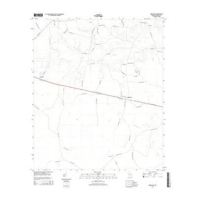
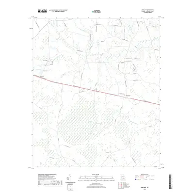
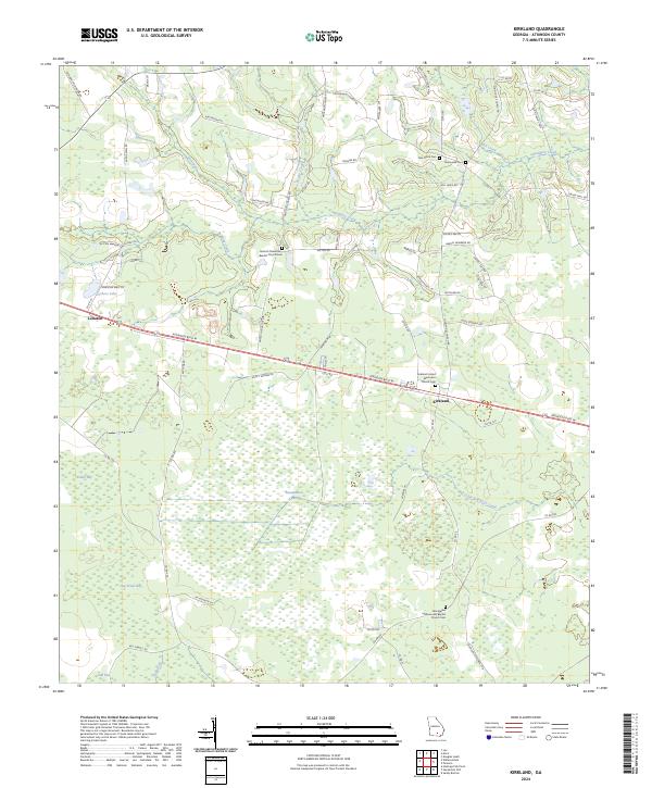 2024 Kirkland2024 Print · USGSThe community of Kirkland and the settlement at Leliaton are captured here during the 2020s, set against the vast wetlands of Atkinson County. Researchers can locate family landmarks and rural congregations including Oak Grove Cem and the Kirkland United Methodist Church Cem.
 - 2024 Map of Pearson, 2024 Print
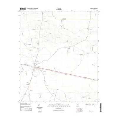
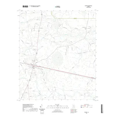
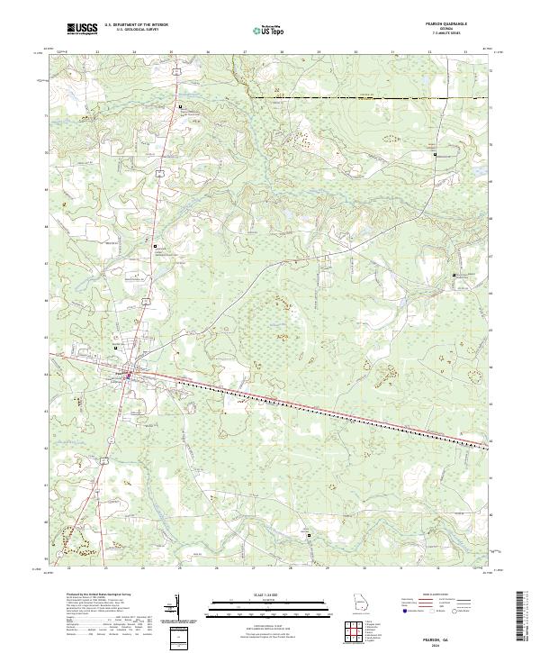 2024 Pearson2024 Print · USGSPearson and the surrounding Atkinson County countryside are captured here in the early twenty-first century, showing the town at its modern extent. Researchers can trace local lineage at Pearson Cem, Jowers Chapel Cem, and the Atkinson County Courthouse.
End of results
Showing maps 1-16 of 16
Top cities near Pearson
Frequently asked questions
- What are the different types of historical maps available for Pearson?
- What is the oldest map of Pearson?
- Where can I purchase historical maps of Pearson for my home or office?
- Where can I download high-res historical maps of Pearson?
- Are there historical topographic maps available for Pearson?
- Is there historical aerial imagery available for Pearson?
- Where are historical maps of Pearson sourced from?