Old Maps of Newton, Georgia for Metal Detecting
Plan your next treasure hunt with 11 historic maps of Newton. Find old homesites, ghost towns, trails, and gathering spots that may be lost to time — perfect for identifying promising metal detecting locations.
- Locate forgotten sites: Uncover places like long-lost settlements, abandoned rail lines, or gathering spots.
- Plan better hunts: Use map overlays combined with LiDAR or satellite views to narrow in on historically rich areas.
- Made for detectorists: Thousands of hobbyists use these maps to discover relics, coins, and hidden history.
Use these historic maps to boost your research and find new opportunities beneath the surface of Newton.
Newton, GA maps
(11)- 1953 Map of Dothan, 1966 Print
 1953 Dothan1966 Print · USGSSoutheast Alabama and Southwest Georgia are captured during a period of massive hydraulic and military expansion in the mid-fifties. Genealogists and historians can trace rural landmarks like Antioch Church and School, the Andrew Jackson Monument, and the early footprint of Fort Rucker Military Reservation.3 unique versions available
 - 1954 Map of Dothan
 1954 Dothan1954 Print · USGSSoutheast Alabama and Southwest Georgia are seen here in the mid-fifties, during a decade of military expansion and rural transition. Genealogists can trace the location of country schools like Little Zion School or the grounds of Kolomoki Mounds State Park.
 - 1955 Map of Dothan
 1955 Dothan1955 Print · USGSSoutheast Alabama and Southwest Georgia are captured here in the mid-fifties, showing a landscape of river-port history and growing military bases. Researchers can trace rural life via the Andrew Jackson Monument, Bauxite mines, and the Central of Georgia RR.
 - 1956 Map of Newton, 1958 Print
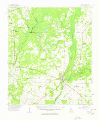 1956 Newton1958 Print · USGSBaker County in the mid-fifties is captured here as a landscape of rural schoolhouses and riverfront commerce. Researchers can locate specific family sites and community centers like New Salem Sch, Travelers Rest, and Mt Airy.
 - 1974 Map of Newton, 1976 Print
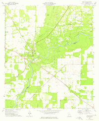 1974 Newton1976 Print · USGSThe riverfront town of Newton and the winding Flint River define this Baker County landscape in the mid-1970s. Local historians can trace established community sites such as White Corner Ch, County High Sch, and the uniquely named Baptism Pond.2 unique versions available
 - 1981 Map of Camilla, 1982 Print
 1981 Camilla1982 Print · USGSSouthwest Georgia in the early 1980s is defined by the winding Flint River and the ancient legacy of Kolomoki Mounds State Park. Researchers can trace the agricultural and rail economy through junctions like Blakely, Pelham, and the rail lines of the Central of Georgia.2 unique versions available
 - 2011 Map of Newton, 2011 Print
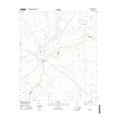
 2011 Newton2011 Print · USGSCovers Newton, including Mitchell County, Baker County, and other nearby areas
 - 2014 Map of Newton, 2014 Print
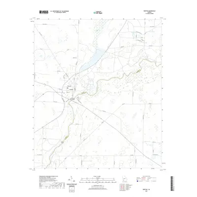
 2014 Newton2014 Print · USGSCovers Newton, including Mitchell County, Baker County, and other nearby areas
 - 2017 Map of Newton, 2017 Print
 2017 Newton2017 Print · USGSCovers Newton, including Mitchell County, Baker County, and other nearby areas
 - 2020 Map of Newton, 2020 Print
 2020 Newton2020 Print · USGSCovers Newton, including Mitchell County, Baker County, and other nearby areas
 - 2024 Map of Newton, 2024 Print
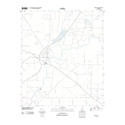
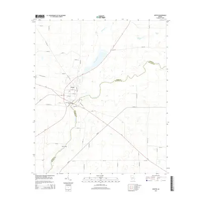
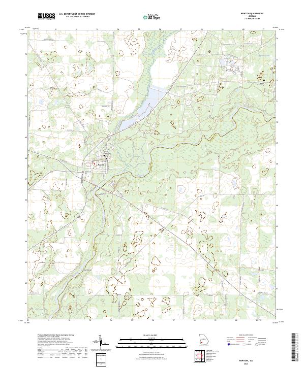 2024 Newton2024 Print · USGSNewton and the surrounding Baker County countryside are shown in detail here just as the modern riverfront begins to evolve. Researchers can trace family history at the Newton City Cem, locate the Baker County Courthouse, or explore the banks of the Flint River and Sister Islands.
End of results
Showing maps 1-11 of 11
Top cities near Newton
- Albany historical maps
- Camilla historical maps
- Pelham historical maps
- Putney historical maps
- Baconton historical maps
- Leary historical maps
Frequently asked questions
- What are the different types of historical maps available for Newton?
- What is the oldest map of Newton?
- Where can I purchase historical maps of Newton for my home or office?
- Where can I download high-res historical maps of Newton?
- Are there historical topographic maps available for Newton?
- Is there historical aerial imagery available for Newton?
- Where are historical maps of Newton sourced from?