Old Maps of Needmore, Georgia for Genealogy
Trace your family roots with 14 historic maps of Needmore. These high-res maps reveal old neighborhoods, homesites, landmarks, and streets — helping you uncover where your ancestors lived and how the area evolved over time.
- Explore historic neighborhoods: Identify where your relatives may have lived in the 1800s or 1900s.
- Compare maps over time: Trace the changes in streets, buildings, and landmarks for multi-generational research.
- Perfect for genealogy & ancestry research: Used by family historians and researchers to map out lineage and migration.
These maps are an incredible resource for exploring your personal connection to Needmore's past.
Needmore, GA maps
(14)- 1918 Map of Hortense
 1918 Hortense1918 Print · USGSSoutheast Georgia during the Great War era reveals a landscape shaped by river systems and steam-age railroads. Genealogists can trace family roots through numerous rural landmarks like Pendarvis School, Mt Zion Church, and the river crossing at Rosin Landing.2 unique versions available
 - 1944 Map of Hortense
 1944 Hortense1944 Print · USGSCoastal Georgia during the mid-forties reveals a landscape defined by the Satilla River and a strategic intersection of two major railroads. Genealogists can trace family roots through rural landmarks like Manningtown, Oak Grove Ch, and Menor Sch.
 - 1946 Map of Brunswick, 1948 Print
 1946 Brunswick1948 Print · USGSCoastal Georgia in the mid-forties reveals a landscape defined by the Camp Stewart Military Reservation and the sprawling barrier islands. Genealogists and historians can trace the rail-and-river network through inland towns like Ludowici and Jesup, or locate coastal landmarks like the St Simon Light.
 - 1948 Map of Brunswick
 1948 Brunswick1948 Print · USGSCoastal Georgia in the late 1940s is defined here by its labyrinthine barrier islands and the massive footprint of Camp Stewart. Genealogists and historians can trace the rail-tied growth of Jesup and Hinesville or locate coastal landmarks like St Simon Light.
 - 1956 Map of Brunswick, 1968 Print
 1956 Brunswick1968 Print · USGSThe Georgia coast in the mid-twentieth century is a wild expanse of barrier islands and massive river deltas. You can trace the development of the maritime economy and military presence at Brunswick, or locate historic sites like Fort Frederica National Monument and Harris Neck National Wildlife Refuge.2 unique versions available
 - 1961 Map of Brunswick
 1961 Brunswick1961 Print · USGSThe Georgia coast at the start of the 1960s was a landscape of deep tidal marshes and growing military installations. Genealogists and historians can trace rail-linked towns like Limerick Station or explore coastal landmarks from Fort Frederica National Monument to Sapelo Island.
 - 1978 Map of Hortense
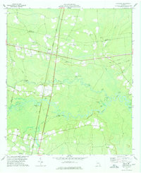 1978 Hortense1978 Print · USGSIn the late 1970s, the rural junction of Hortense and the winding Satilla River defined this corner of Brantley County. Genealogists and local historians can trace small river landings and country churches from Raybon to Needmore, including Satilla Cem and Lewis Ch.
 - 1978 Map of Brunswick
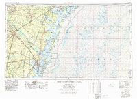 1978 Brunswick1978 Print · USGSThe Georgia coast and its barrier islands are captured in the late 1970s, as I-95 and the rail lines shaped the growth of coastal towns. Genealogists and historians can trace family locations across the islands or locate sites near Fort Stewart, Darien, and Ludowici.2 unique versions available
 - 1981 Map of Brunswick, 1982 Print
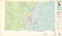 1981 Brunswick1982 Print · USGSThe Georgia coast at the start of the eighties reveals a complex landscape of tidal estuaries, deep-water sounds, and growing island communities. Trace local history through the protected grounds of Fort Frederica National Monument and the old rail stops at Thalmann and Nahunta.3 unique versions available
 - 2011 Map of Hortense, 2011 Print
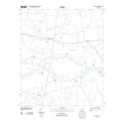 2011 Hortense2011 Print · USGSBrantley County at the start of the 2010s is a landscape of river landings and small rural crossroads. Genealogists and local historians can trace family locations through the Tabernacle Camp Ground, Satilla Cemetery, and the Humpback Bridge crossing.
 - 2014 Map of Hortense, 2014 Print
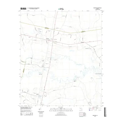 2014 Hortense2014 Print · USGSBrantley County's river-laced landscape is captured here in the early twenty-first century, showing the rural communities along the Satilla. Researchers can trace family sites at Satilla Cem or follow the river to Baxter Bluff and Humpback Bridge.
 - 2017 Map of Hortense, 2017 Print
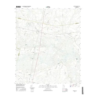 2017 Hortense2017 Print · USGSCoastal Georgia's riverine lowlands appear in high detail during the early twenty-first century, showing the small settlements of Hortense and Raybon. Genealogists and historians can trace rural roads to historic burial sites like Satilla Cem and Lewis Cem or explore the reaches of the Satilla River.
 - 2020 Map of Hortense, 2020 Print
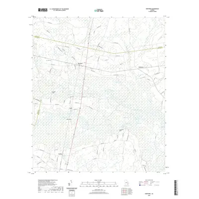 2020 Hortense2020 Print · USGSSoutheast Georgia river life is centered here along the winding Satilla River just before the turn of the decade. Researchers can trace rural family sites at Satilla Cem and Baxter Cem, or locate landmarks like Humpback Bridge and Trudie.
 - 2024 Map of Hortense, 2024 Print
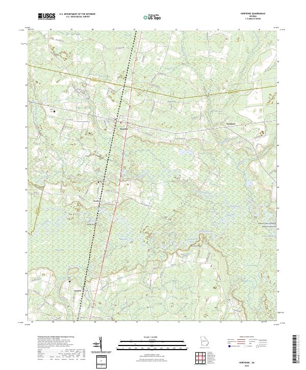 2024 Hortense2024 Print · USGSBrantley County and its neighbors are mapped here in the early twenty-first century, showing a landscape defined by the winding Satilla River. Genealogists can locate family sites like Baxter Cem and Lewis Cem near the rail-side community of Raybon.
End of results
Showing maps 1-14 of 14
Top cities near Needmore
- Jesup historical maps
- Nahunta historical maps
- Screven historical maps
- Patterson historical maps
- Hoboken historical maps
- Offerman historical maps
See more
Frequently asked questions
- What are the different types of historical maps available for Needmore?
- What is the oldest map of Needmore?
- Where can I purchase historical maps of Needmore for my home or office?
- Where can I download high-res historical maps of Needmore?
- Are there historical topographic maps available for Needmore?
- Is there historical aerial imagery available for Needmore?
- Where are historical maps of Needmore sourced from?