Old Maps of Braselton, Georgia for Hiking & Exploration
Hike through history with 37 historic maps of Braselton. Explore old trails, ghost towns, and forgotten backroads — perfect for outdoor adventurers and local explorers.
- Rediscover forgotten places: Map out old mining camps, roads, and footpaths that no longer exist on modern maps.
- Layer with modern tools: Combine with LiDAR or satellite views to plan hikes through historical terrain.
- Made for exploration: Popular among hikers, overlanders, and local history lovers.
Use these maps to find adventure and explore the hidden past of Braselton.
Braselton, GA maps
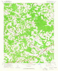
(37)- 1891 Map of Gainesville
 1891 Gainesville1891 Print · USGSNorth Georgia in the early 1890s appears as a landscape of rail-junction towns and river-powered industry centered on Hall and Jackson Counties. Researchers can trace historic river crossings like Browns Bridge and Keiths Fy, or locate nineteenth-century landmarks such as Oconee Mills and Flowery Branch.5 unique versions available
 - 1954 Map of Greenville, 1965 Print
 1954 Greenville1965 Print · USGSThe Upstate and Northeast Georgia are captured here during a decade of massive transformation as new reservoirs reshaped the Piedmont. Genealogists and hikers can trace the Appalachian Trail over Brasstown Bald or locate old community centers like Demorest, Westminster, and Royston.3 unique versions available
 - 1958 Map of Greenville
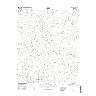
 1958 Greenville1958 Print · USGSThe Piedmont and Blue Ridge foothills come alive in this mid-century survey of the Upstate and Northeast Georgia. Trace the regional rail-and-river economy through the Southern Railway corridors and early reservoir developments like Lake Sidney Lanier.
 - 1964 Map of Hog Mountain, 1965 Print
 1964 Hog Mountain1965 Print · USGSGwinnett County in the mid-sixties remains a landscape of headwater rivers and country crossroads before the height of suburban expansion. Researchers can locate community anchors like Antioch Ch, Harmony Sch, and historic burials at Old Ivy Cem.3 unique versions available
 - 1964 Map of Chestnut Mountain, 1965 Print
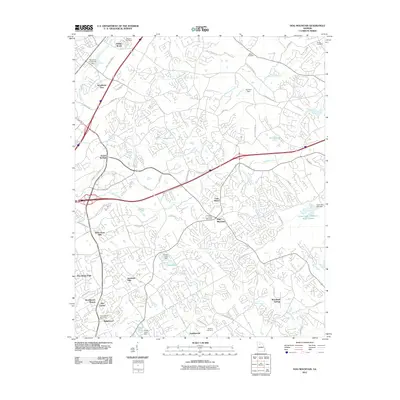
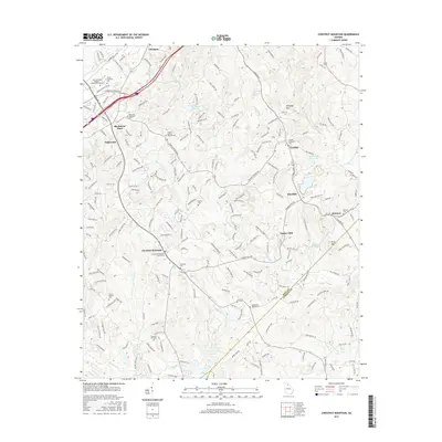
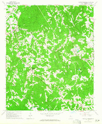 1964 Chestnut Mountain1965 Print · USGSHall County’s rural landscape is captured in the mid-1960s, showing a community defined by its creeks, ridges, and rail lines. Researchers can trace family sites like Blackshear Place or locate local landmarks including Tanner Mill and South Hall Sch.3 unique versions available
 - 1964 Map of Winder North, 1965 Print
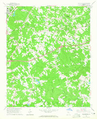
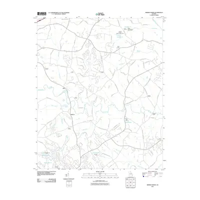
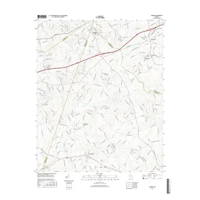
 1964 Winder North1965 Print · USGSThe rural borderlands of Jackson and Barrow counties come into focus in the mid-sixties. Researchers can trace family sites like Rose Hill Cem, find the Holsenbeck Sch, and locate old landmarks like the Ebenezer Ch.4 unique versions available
 - 1964 Map of Auburn, 1965 Print
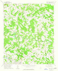
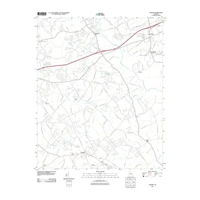
 1964 Auburn1965 Print · USGSBarrow and Gwinnett counties come alive in the mid-sixties as the Seaboard Air Line connects the rural hubs of Auburn and Carl. Local researchers can trace historic church sites like Mt Moriah Ch or find the Covered Bridge near Thompsons Mill.3 unique versions available
 - 1964 Map of Pendergrass, 1965 Print
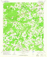
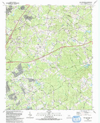
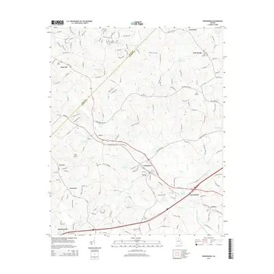
 1964 Pendergrass1965 Print · USGSNortheast Georgia in the mid-1960s was a landscape of rail-linked towns and deep-rooted rural congregations. Genealogists and local historians can trace family locations through several landmark churches and cemeteries, including Harmony Hall Ch, Sugar Hill Ch, and Jarrett Cem.
 - 1979 Map of Commerce, 1980 Print
 1979 Commerce1980 Print · USGSThe Georgia and South Carolina Piedmont reached a period of significant regional growth in the late seventies. Genealogists and historians can trace family roots through locations like Blackberry Church, Old Pioneer Cem, and the Gillsville Sch.2 unique versions available
 - 1992 Map of Hog Mountain, 1993 Print
 1992 Hog Mountain1993 Print · USGSGwinnett County in the early nineties shows a landscape of suburban growth reaching into its rural heritage near Hog Mountain. Researchers can trace genealogies through numerous sites like Ivy Creek Ch Cem and Old Ivy Ch Cem or locate the historic Harmony Sch.
 - 1992 Map of Chestnut Mountain, 1993 Print
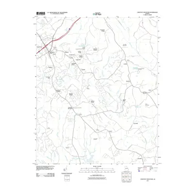
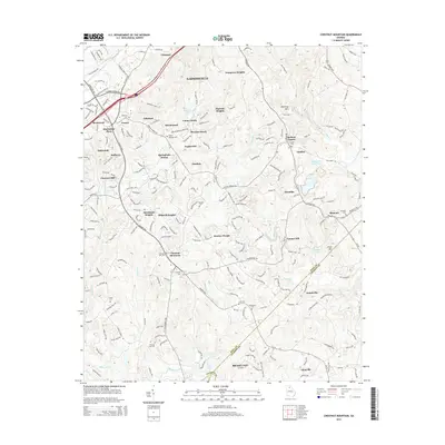
 1992 Chestnut Mountain1993 Print · USGSHall County and Jackson County meet in the early nineties as educational centers and motorsports venues began to reshape this Georgia landscape. Genealogists and historians can trace family ties through Tanner Mill, Hopewell Cem, and Cross Plains Cem.
 - 1993 Map of Auburn
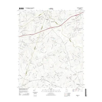
 1993 Auburn1993 Print · USGSBarrow and Gwinnett counties were undergoing steady growth in the early nineties, centered on the Seaboard System rail towns. Genealogists can trace family names through numerous rural landmarks like Thompsons Mill, Hebron Cem, and Harmony Grove Ch.
 - 2011 Map of Pendergrass, 2011 Print
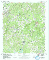
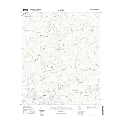
 2011 Pendergrass2011 Print · USGSCovers Braselton, including Jefferson, Pendergrass, and other nearby areas
 - 2011 Map of Auburn, 2011 Print
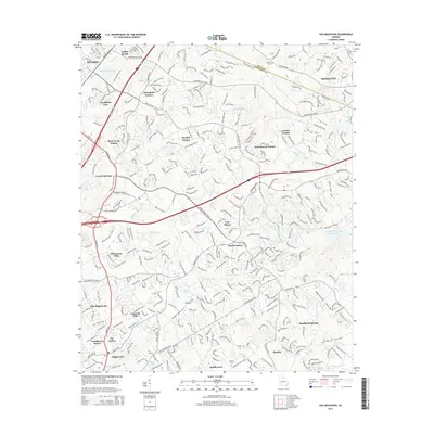
 2011 Auburn2011 Print · USGSCovers Braselton, including Winder, Auburn, and other nearby areas
 - 2011 Map of Chestnut Mountain, 2011 Print
 2011 Chestnut Mountain2011 Print · USGSCovers Braselton, including Gainesville, Oakwood, and other nearby areas
 - 2011 Map of Winder North, 2011 Print
 2011 Winder North2011 Print · USGSCovers Braselton, including Winder, Jefferson, and other nearby areas
 - 2011 Map of Hog Mountain, 2011 Print
 2011 Hog Mountain2011 Print · USGSCovers Braselton, including Buford, Dacula, and other nearby areas
 - 2014 Map of Winder North, 2014 Print
 2014 Winder North2014 Print · USGSCovers Braselton, including Winder, Jefferson, and other nearby areas
 - 2014 Map of Pendergrass, 2014 Print
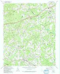
 2014 Pendergrass2014 Print · USGSCovers Braselton, including Jefferson, Pendergrass, and other nearby areas
 - 2014 Map of Hog Mountain, 2014 Print
 2014 Hog Mountain2014 Print · USGSCovers Braselton, including Buford, Dacula, and other nearby areas
 - 2014 Map of Auburn, 2014 Print
 2014 Auburn2014 Print · USGSCovers Braselton, including Winder, Auburn, and other nearby areas
 - 2014 Map of Chestnut Mountain, 2014 Print
 2014 Chestnut Mountain2014 Print · USGSCovers Braselton, including Gainesville, Oakwood, and other nearby areas
 - 2017 Map of Chestnut Mountain, 2017 Print
 2017 Chestnut Mountain2017 Print · USGSCovers Braselton, including Gainesville, Oakwood, and other nearby areas
 - 2017 Map of Auburn, 2017 Print
 2017 Auburn2017 Print · USGSCovers Braselton, including Winder, Auburn, and other nearby areas
 - 2017 Map of Winder North, 2017 Print
 2017 Winder North2017 Print · USGSCovers Braselton, including Winder, Jefferson, and other nearby areas
Showing maps 1-25 of 37
Top cities near Braselton
- Gainesville historical maps
- Lawrenceville historical maps
- Sugar Hill historical maps
- Snellville historical maps
- Suwanee historical maps
- Winder historical maps
See more
Frequently asked questions
- What are the different types of historical maps available for Braselton?
- What is the oldest map of Braselton?
- Where can I purchase historical maps of Braselton for my home or office?
- Where can I download high-res historical maps of Braselton?
- Are there historical topographic maps available for Braselton?
- Is there historical aerial imagery available for Braselton?
- Where are historical maps of Braselton sourced from?