Old Maps of Ellabell, Georgia for Metal Detecting
Plan your next treasure hunt with 15 historic maps of Ellabell. Find old homesites, ghost towns, trails, and gathering spots that may be lost to time — perfect for identifying promising metal detecting locations.
- Locate forgotten sites: Uncover places like long-lost settlements, abandoned rail lines, or gathering spots.
- Plan better hunts: Use map overlays combined with LiDAR or satellite views to narrow in on historically rich areas.
- Made for detectorists: Thousands of hobbyists use these maps to discover relics, coins, and hidden history.
Use these historic maps to boost your research and find new opportunities beneath the surface of Ellabell.
Ellabell, GA maps
(15)- 1920 Map of Meldrim
 1920 Meldrim1920 Print · USGSCoastal Georgia during the early post-war period is defined here by the winding Ogeechee River and a busy intersection of rail lines. Genealogists and researchers can trace family roots near Clyde or locate rural landmarks like Zion Church and Miller Chapel.
 - 1942 Map of Meldrim
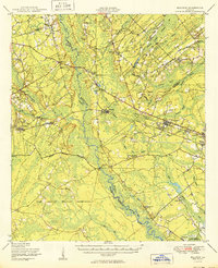
 1942 Meldrim1942 Print · USGSThe Ogeechee River corridor and its railway junctions are captured here in a series of surveys finalized just before the mid-century. Researchers can trace the layout of early settlements like Meldrim and Ellabel or locate ancestral sites at Miller Chapel and Zion Church.
 - 1947 Map of Savannah
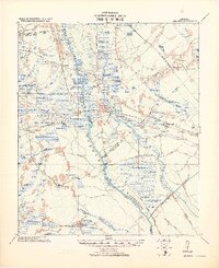
 1947 Savannah1947 Print · USGSCoastal Georgia and South Carolina are captured here in the mid-forties, showing the rail-and-river networks of the Lowcountry. Genealogists and researchers can trace old crossroads and river towns from Statesboro to Beaufort, alongside military sites like Camp Stewart and Parris Island.
 - 1948 Map of Savannah
 1948 Savannah1948 Print · USGSThe Georgia and South Carolina Lowcountry comes alive in this post-war survey of the coast and its river-fed hinterlands. Genealogists and historians can trace rail lines like the Central of Georgia RR and find established settlements such as Isle of Hope and Sylvania.
 - 1950 Map of Meldrim
 1950 Meldrim1950 Print · USGSCoastal Georgia in the late forties is defined by the rail lines and river swamps that connect inland towns like Meldrim and Blitchton. Genealogists can trace family landmarks and rural life at the Scaffletown School, Bethesda Ch, and Blitch Cem.2 unique versions available
 - 1957 Map of Savannah, 1967 Print
 1957 Savannah1967 Print · USGSThe Lowcountry and Georgia coastal plain are shown here in the late fifties, prior to modern expansion. Researchers can trace the rail-and-river economy through the Central of Georgia lines and the Ogeechee River wetlands.4 unique versions available
 - 1958 Map of Meldrim SW, 1961 Print
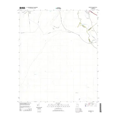
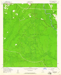 1958 Meldrim SW1961 Print · USGSCoastal Georgia's transition to a military landscape is documented here during the late fifties, showing the area around the Ogeechee River. Genealogists and historians can trace the former community of Clyde (Site), finding family-named landmarks like Clyde Cem and Wise Cem.3 unique versions available
 - 1960 Map of Savannah
 1960 Savannah1960 Print · USGSCoastal Georgia and the South Carolina Lowcountry are captured in the late fifties, showcasing the intricate web of islands and tidal rivers before modern expansion. Researchers can trace the rail lines of the Atlantic Coast Line or locate sites like Parris Island, Beaufort, and the Tybee Lighthouse.
 - 1961 Map of Savannah
 1961 Savannah1961 Print · USGSThe Georgia and South Carolina Lowcountry comes alive in this mid-century survey of coastal marshes, barrier islands, and river networks. Genealogists and historians can trace the paths of the Seaboard Air Line RR, locate family sites near Isle of Hope, or study the grounds of Fort Stewart Military Reservation.2 unique versions available
 - 1981 Map of Savannah, 1982 Print
 1981 Savannah1982 Print · USGSCoastal Georgia and the South Carolina borderlands are captured here in the early eighties, showing the region's complex network of riverine islands and military installations. Researchers can trace the rail lines of the Central of Georgia and explore sites like Fort Stewart Military Reservation and Garden City.
 - 2011 Map of Meldrim SW, 2011 Print
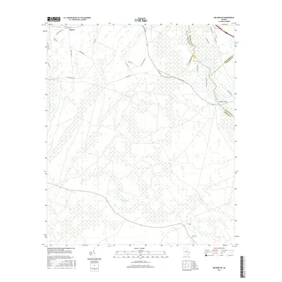
 2011 Meldrim SW2011 Print · USGSCovers Ellabell, including Chatham County, Effingham County, and other nearby areas
 - 2014 Map of Meldrim SW, 2014 Print
 2014 Meldrim SW2014 Print · USGSCovers Ellabell, including Chatham County, Effingham County, and other nearby areas
 - 2017 Map of Meldrim SW, 2017 Print
 2017 Meldrim SW2017 Print · USGSCovers Ellabell, including Chatham County, Effingham County, and other nearby areas
 - 2020 Map of Meldrim SW, 2020 Print
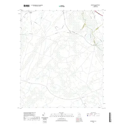 2020 Meldrim SW2020 Print · USGSCovers Ellabell, including Chatham County, Effingham County, and other nearby areas
 - 2024 Map of Meldrim SW, 2024 Print
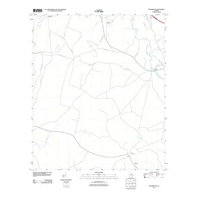
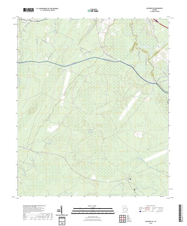 2024 Meldrim SW2024 Print · USGSThe wooded corridors of Bryan County meet the Ogeechee River and the northern reaches of Fort Stewart in this modern survey. Researchers can locate family landmarks like Clyde Cem and Wise Cem or trace the rural routes around Ellabell.
End of results
Showing maps 1-15 of 15
Top cities near Ellabell
- Savannah historical maps
- Pooler historical maps
- Richmond Hill historical maps
- Port Wentworth historical maps
- Rincon historical maps
- Bloomingdale historical maps
See more
Frequently asked questions
- What are the different types of historical maps available for Ellabell?
- What is the oldest map of Ellabell?
- Where can I purchase historical maps of Ellabell for my home or office?
- Where can I download high-res historical maps of Ellabell?
- Are there historical topographic maps available for Ellabell?
- Is there historical aerial imagery available for Ellabell?
- Where are historical maps of Ellabell sourced from?