Old Maps of Homeland, Georgia for Hiking & Exploration
Hike through history with 18 historic maps of Homeland. Explore old trails, ghost towns, and forgotten backroads — perfect for outdoor adventurers and local explorers.
- Rediscover forgotten places: Map out old mining camps, roads, and footpaths that no longer exist on modern maps.
- Layer with modern tools: Combine with LiDAR or satellite views to plan hikes through historical terrain.
- Made for exploration: Popular among hikers, overlanders, and local history lovers.
Use these maps to find adventure and explore the hidden past of Homeland.
Homeland, GA maps
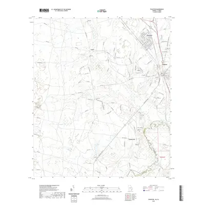
(18)- 1918 Map of Folkston
 1918 Folkston1918 Print · USGSSoutheast Georgia and the Florida borderlands are captured here during the height of the regional timber and rail era. Genealogists can trace family footprints at Traders Hill, old schools like Davis School, and the early rail stations at Uptonville and Mattox.3 unique versions available
 - 1954 Map of Valdosta, 1967 Print
 1954 Valdosta1967 Print · USGSThe South Georgia and North Florida borderlands are captured here in the mid-fifties, showing the deep timber and wetland networks of the coastal plain. Researchers can trace the path of the Atlantic Coast Line through Valdosta or explore the interior of the Okefenokee Swamp.2 unique versions available
 - 1958 Map of Valdosta
 1958 Valdosta1958 Print · USGSSouth Georgia and North Florida are captured here in the mid-fifties, showing the vast Okefenokee Swamp and the vital timber and rail corridors connecting the two states. Researchers can locate the footprint of Moody Air Force Base, trace the Live Oak Perry and Gulf railroad, or find early community sites like Bakers Mill and Paradise Church.
 - 1959 Map of Valdosta
 1959 Valdosta1959 Print · USGSThe Georgia-Florida borderlands in the mid-fifties reveal a landscape of massive blackwater swamps and emerging military aviation hubs. Genealogists and historians can trace rail-stop towns like Fargo and Stockton or explore the interior reaches of the Okefenokee Swamp and Billys Island.
 - 1966 Map of Newell, 1967 Print
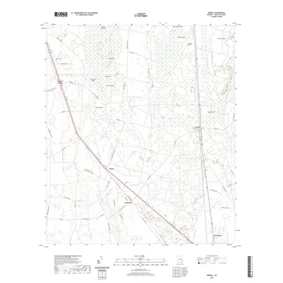
 1966 Newell1967 Print · USGSCoastal Georgia's rail and timber corridor is captured here in the mid-1960s, showing the intersection of the swamp and the railroad. Researchers can trace rural lineages through settlements like Uptonville, church sites like Sand Hill Ch, and timber camps at Cypress Siding.2 unique versions available
 - 1966 Map of Folkston, 1967 Print
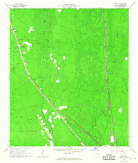
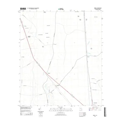
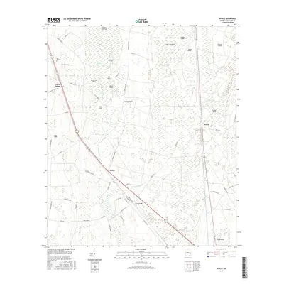
 1966 Folkston1967 Print · USGSIn the mid-1960s, the Folkston area was defined by the intersection of the St Marys River and the Seaboard Coast Line Railroad. Genealogists and researchers can locate several rural landmarks including Traders Hill, Neeley Cem, and Philadelphia Ch.2 unique versions available
 - 1980 Map of Okefenokee Swamp, 1981 Print
 1980 Okefenokee Swamp1981 Print · USGSThe Georgia-Florida borderlands come to life in the early 1980s, centered on the immense wilderness of the Okefenokee Swamp. Genealogists and historians can trace rail-stop settlements like Fargo and Fruitland or explore the interior geography of Billys Island and Trail Ridge.
 - 1994 Map of Folkston
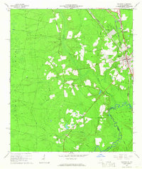
 1994 Folkston1994 Print · USGSNear the Georgia-Florida line in the early 1990s, the riverfront settlement at Traders Hill remained a vital landmark. Genealogists and local historians can trace family roots through sites like Traders Hill Cem, Moody Landing Cem, and the rural Bethel Ch.
 - 2011 Map of Folkston, 2011 Print
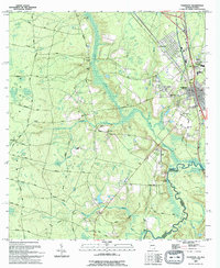
 2011 Folkston2011 Print · USGSCovers Homeland, including Folkston, Paxton, and other nearby areas
 - 2011 Map of Newell, 2011 Print
 2011 Newell2011 Print · USGSCovers Homeland, including Newell, Cypress Siding, and other nearby areas
 - 2014 Map of Newell, 2014 Print
 2014 Newell2014 Print · USGSCovers Homeland, including Newell, Cypress Siding, and other nearby areas
 - 2014 Map of Folkston, 2014 Print
 2014 Folkston2014 Print · USGSCovers Homeland, including Folkston, Paxton, and other nearby areas
 - 2017 Map of Newell, 2017 Print
 2017 Newell2017 Print · USGSCovers Homeland, including Newell, Cypress Siding, and other nearby areas
 - 2017 Map of Folkston, 2017 Print
 2017 Folkston2017 Print · USGSCovers Homeland, including Folkston, Paxton, and other nearby areas
 - 2020 Map of Folkston, 2020 Print
 2020 Folkston2020 Print · USGSCovers Homeland, including Folkston, Paxton, and other nearby areas
 - 2020 Map of Newell, 2020 Print
 2020 Newell2020 Print · USGSCovers Homeland, including Newell, Cypress Siding, and other nearby areas
 - 2024 Map of Newell, 2024 Print
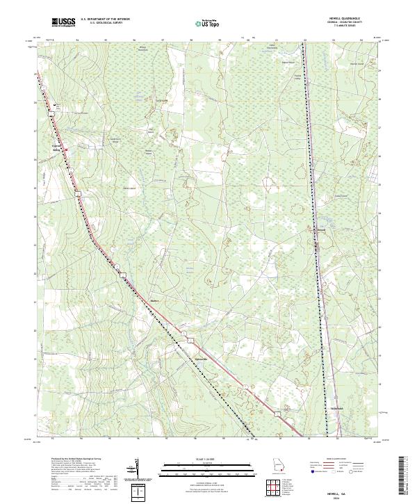 2024 Newell2024 Print · USGSThe eastern edge of the Okefenokee meets the historic corridor of Charlton County in the early twenty-first century. Researchers can trace rural settlements and family landmarks like Sand Hill Hill Cem, Uptonville, and Cypress Siding.
 - 2024 Map of Folkston, 2024 Print
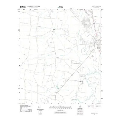
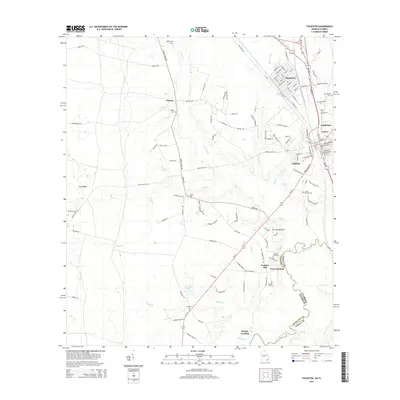
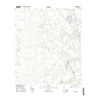
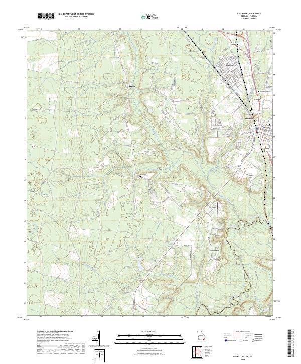 2024 Folkston2024 Print · USGSThe Charlton County seat and the neighboring town of Homeland are mapped here along the Okefenokee swamp edge. Genealogists can locate family sites like Traders Hill Cem, the Little Phoebe Church, and the Charlton County Courthouse.
End of results
Showing maps 1-18 of 18
Top cities near Homeland
Frequently asked questions
- What are the different types of historical maps available for Homeland?
- What is the oldest map of Homeland?
- Where can I purchase historical maps of Homeland for my home or office?
- Where can I download high-res historical maps of Homeland?
- Are there historical topographic maps available for Homeland?
- Is there historical aerial imagery available for Homeland?
- Where are historical maps of Homeland sourced from?