2020s Maps of Chattahoochee County, Georgia
Explore 22 historic maps of Chattahoochee County from the 2020s. These maps offer a rare glimpse into what life looked like during the 2020s — showing old roads, neighborhoods, homes, and landmarks that have changed or disappeared over time.
Whether you're researching your family's past, planning a metal detecting trip, or studying how Chattahoochee County's landscape evolved across the 2020s, these high-resolution maps are a powerful tool for exploring the history of this region.
- Focus on a specific era: All maps on this page are from the 2020s, giving you a focused view of this time period.
- See what’s changed: Compare century-old streets, trails, and buildings to today's modern landscape using overlays and satellite layers.
- Research with precision: Use these maps for genealogy, historical research, land use analysis, or educational projects.
- View, download, or print: Maps are fully viewable online in high resolution, and can be downloaded or printed for your own records.
Start exploring Chattahoochee County's history through authentic maps from the 2020s. This is your window into the past.
Chattahoochee County, GA maps
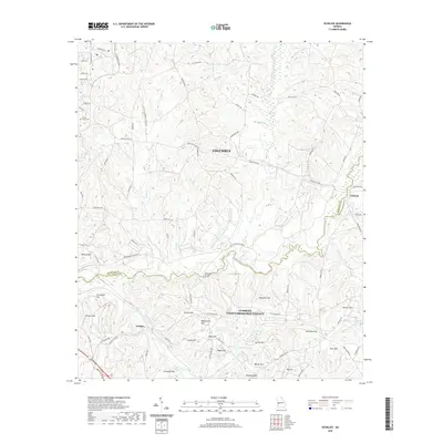
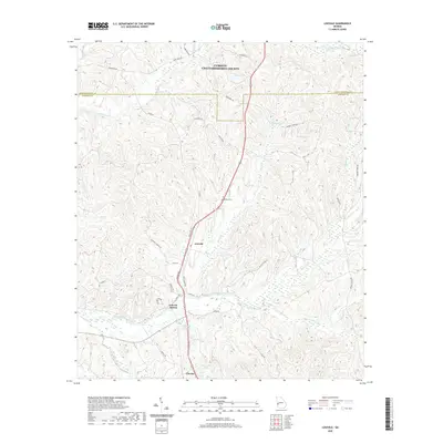
(22)- 2020 Map of Buena Vista NW, 2020 Print
 2020 Buena Vista NW2020 Print · USGSCovers Chattahoochee County, including Columbus, Muscogee County, and other nearby areas
 - 2020 Map of Ochillee, 2020 Print
 2020 Ochillee2020 Print · USGSCovers Chattahoochee County, including Columbus, Eelbeck, and other nearby areas
 - 2020 Map of Fort Benning, 2020 Print
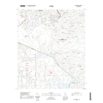 2020 Fort Benning2020 Print · USGSCovers Chattahoochee County, including Columbus, East Main Post, and other nearby areas
 - 2020 Map of Cusseta, 2020 Print
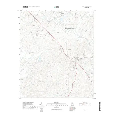 2020 Cusseta2020 Print · USGSCovers Chattahoochee County, including Cusseta, Jamestown, and other nearby areas
 - 2020 Map of Brooklyn, 2020 Print
 2020 Brooklyn2020 Print · USGSCovers Chattahoochee County, including Renfroe, Brooklyn, and other nearby areas
 - 2020 Map of Louvale, 2020 Print
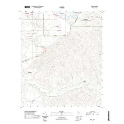
 2020 Louvale2020 Print · USGSCovers Chattahoochee County, including Louvale Station, Louvale, and other nearby areas
 - 2020 Map of Columbus, 2020 Print
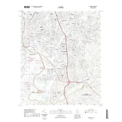 2020 Columbus2020 Print · USGSCovers Chattahoochee County, including Columbus, Phenix City, and other nearby areas
 - 2020 Map of Union, 2020 Print
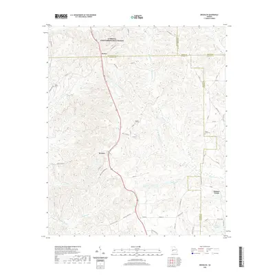
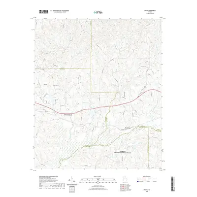
 2020 Union2020 Print · USGSCovers Chattahoochee County, including Gillis Place, Heard Place, and other nearby areas
 - 2020 Map of Upatoi, 2020 Print
 2020 Upatoi2020 Print · USGSCovers Chattahoochee County, including Columbus, Box Springs, and other nearby areas
 - 2020 Map of Glen Alta, 2020 Print
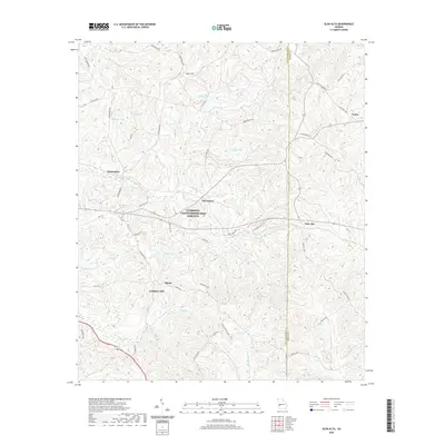 2020 Glen Alta2020 Print · USGSCovers Chattahoochee County, including Midpoint, Christopher, and other nearby areas
 - 2020 Map of Fort Mitchell, 2020 Print
 2020 Fort Mitchell2020 Print · USGSCovers Chattahoochee County, including Phenix City, Nuckols, and other nearby areas
 - 2024 Map of Fort Mitchell, 2024 Print
 2024 Fort Mitchell2024 Print · USGSThe Alabama-Georgia border near Fort Mitchell comes to life in this detailed survey of the local military and rural landscape. Genealogists can trace family connections at Saint John Cem and Oswichee Cem or explore the history of Lato and Perrys Ford.
 - 2024 Map of Louvale, 2024 Print
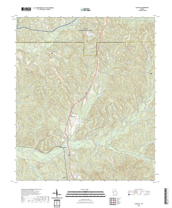 2024 Louvale2024 Print · USGSStewart County's rural heritage is preserved in this recent survey of the settlements between the military border and the creek bottoms. Genealogists can trace family landmarks and burial sites like Armour Cem, Beulah Cem, and Louvale Baptist Church Cem.
 - 2024 Map of Upatoi, 2024 Print
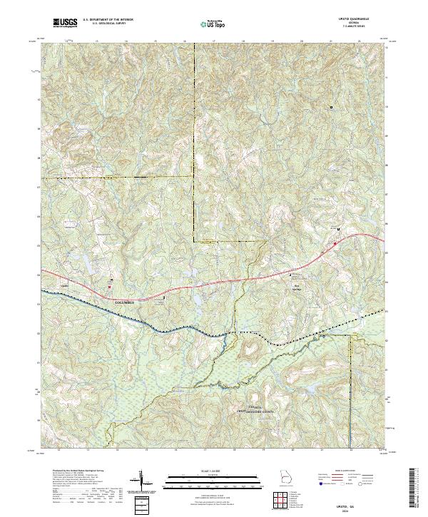 2024 Upatoi2024 Print · USGSThe rural borderlands east of Columbus are mapped here in the modern era, showing the quiet transition between several Georgia counties. Researchers can trace family history through sites like Box Springs, Hollis Cem, and Mount Paron Primitive Baptist Church Cem.
 - 2024 Map of Ochillee, 2024 Print
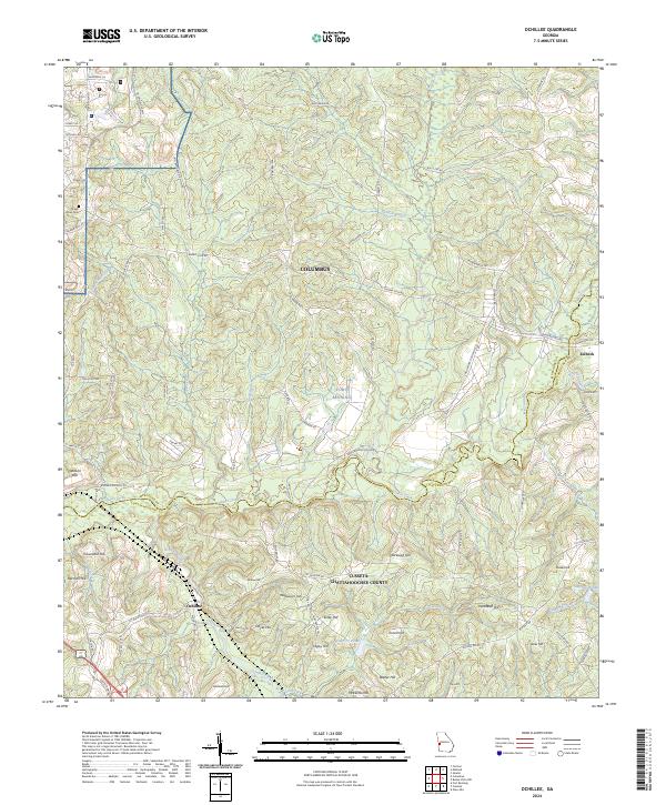 2024 Ochillee2024 Print · USGSMuscogee and Chattahoochee counties appear here in the 2020s, dominated by the active military grounds east of the city. Genealogists and historians can trace family-named landmarks like Griswold Hill and Cleveland Hill near the old site of Ochillee.
 - 2024 Map of Buena Vista NW, 2024 Print
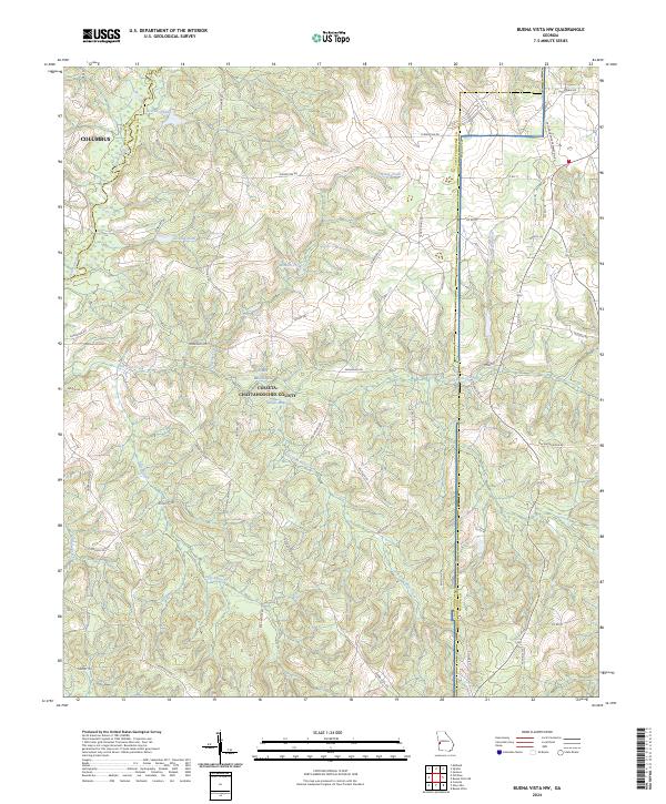 2024 Buena Vista NW2024 Print · USGSThe Fort Benning training grounds and the headwaters of Upatoi Creek are captured here in the twenty-first century. Researchers can trace land use patterns near Gallups Millpond, the Concord-Landing Strip, and numerous small family-named ponds.
 - 2024 Map of Cusseta, 2024 Print
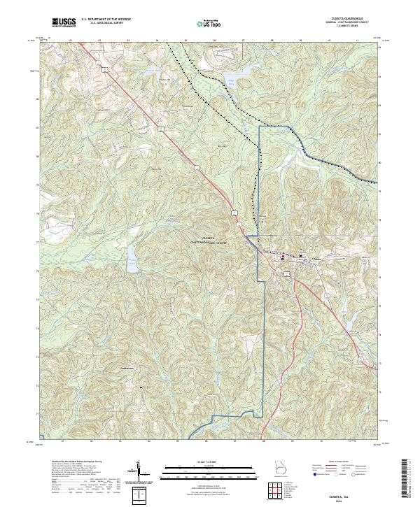 2024 Cusseta2024 Print · USGSCusseta and the surrounding Chattahoochee County countryside are shown here in modern detail, as the local landscape interfaces with the military grounds of Fort Benning. Researchers can locate the Chattahoochee County Superior Courthouse, the settlement of Jamestown, and old burial sites like Goodhope Cem.
 - 2024 Map of Columbus, 2024 Print
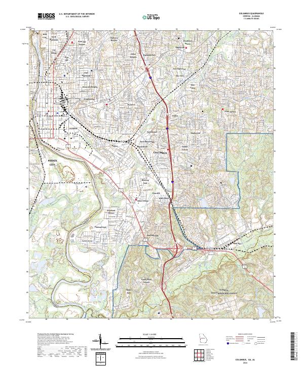 2024 Columbus2024 Print · USGSColumbus and the Chattahoochee River valley appear in high detail during this contemporary era. Genealogists can trace family records across Linwood Cem and Evergreen Memory Gardens Cem near Fort Benning.
 - 2024 Map of Union, 2024 Print
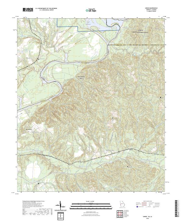 2024 Union2024 Print · USGSStewart County and the Georgia-Alabama border come into focus in this contemporary survey of the riverlands south of the military reservation. Genealogists and local historians can pinpoint family-named landmarks like Upper Bradley Place and Heard Place, or locate rural burial sites such as Mathis Cem and Fitzgerald Cem.
 - 2024 Map of Glen Alta, 2024 Print
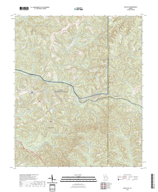 2024 Glen Alta2024 Print · USGSThe rural landscape of Chattahoochee County is shown in detail during the twenty-twenties. Genealogists can trace family landmarks like Zion Hill Baptist Church Cem and old settlements including Ida Vesper and Manta.
 - 2024 Map of Fort Benning, 2024 Print
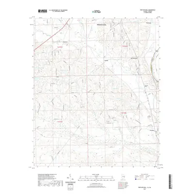
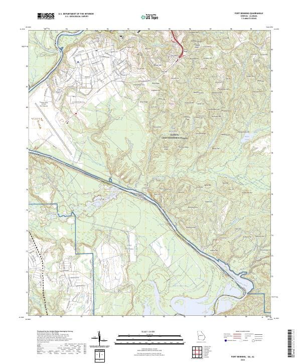 2024 Fort Benning2024 Print · USGSThe Fort Benning region at the Georgia-Alabama border shows a landscape shaped by military history and the winding Chattahoochee River. Researchers can trace the layout of Lawson Army Airfield and numerous ridges like Riche Hill and Riley Ridge.
 - 2024 Map of Brooklyn, 2024 Print
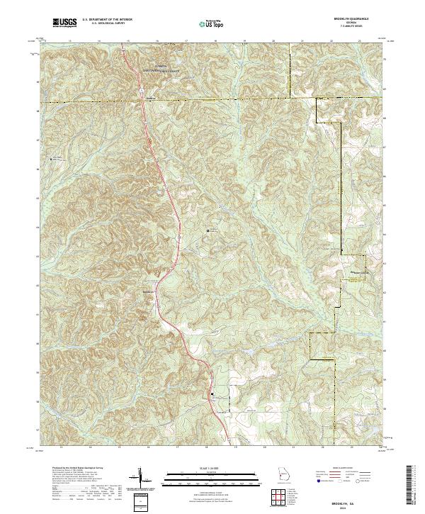 2024 Brooklyn2024 Print · USGSStewart County's rural crossroads and family homesteads are preserved here in the modern era. Genealogists can trace local heritage through sites like Red Hill Christian Church Cem, Brooklyn, and the Pickett - Brooks Cem.
End of results
Showing maps 1-22 of 22
Top cities of Chattahoochee County
Frequently asked questions
- What are the different types of historical maps available for Chattahoochee County?
- What is the oldest map of Chattahoochee County?
- Where can I purchase historical maps of Chattahoochee County for my home or office?
- Where can I download high-res historical maps of Chattahoochee County?
- Are there historical topographic maps available for Chattahoochee County?
- Is there historical aerial imagery available for Chattahoochee County?
- Where are historical maps of Chattahoochee County sourced from?