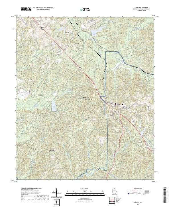
2024 Map of Cusseta
USGS Topo · Published 2024About this map
Cusseta serves as the focal point of this West Georgia landscape, situated at the intersection of several significant regional corridors including State Rte 137 and Old Hwy 280. The town's civic heart is anchored by the Chattahoochee County Superior Courthouse, while the surrounding geography is defined by the expansive military grounds of Fort Benning, which covers much of the northwestern portion of the quadrangle.
Find a feature on this map
92 named features on this map. Tap any name to fly to it.
Don’t see what you’re looking for? This feature index may not catch every label — zoom into the map to look around manually.
Map Details
Editions of this 2024 Cusseta Map
This is the sole edition of this map. No revisions or reprints were ever made.
Other maps of this area

1908 · Columbus
USGS Topo · 1:62,500

1929 · Columbus
USGS Topo · 1:48,000

1947 · Columbus
USGS Topo · 1:62,500

1949 · Glen Alta
USGS Topo · 1:24,000

1949 · Julia
USGS Topo · 1:24,000

1949 · Ochillee
USGS Topo · 1:24,000

1949 · Buena Vista NW
USGS Topo · 1:24,000

1949 · Columbus
USGS Topo · 1:24,000

1949 · Cusseta
USGS Topo · 1:24,000

1950 · Fort Benning
USGS Topo · 1:24,000