Old Maps of Gobblers Hill, Georgia for Academic Research
Study the evolution of Gobblers Hill with 13 high-resolution historic maps. Whether you're teaching, researching, or modeling changes in land use, these maps provide essential visual documentation of urban, environmental, and geographic change.
- Analyze long-term change: Track patterns in development, transportation, and natural features.
- Ideal for environmental or urban studies: Support academic projects with primary historical map data.
- Use in the classroom or lab: Educators and researchers rely on these maps to bring historical context to life.
These maps are a powerful tool for teaching, research, and visualizing how Gobblers Hill has changed over the decades.
Gobblers Hill, GA maps
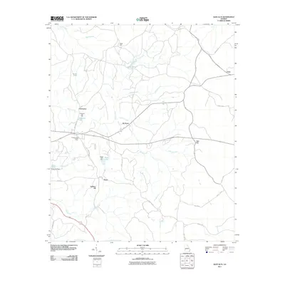
(13)- 1949 Map of Glen Alta
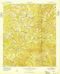 1949 Glen Alta1949 Print · USGSWestern Georgia at the end of the 1940s reveals a rural landscape increasingly influenced by the expansion of Fort Benning. Researchers can trace the rail paths of the Central Georgia and Seaboard through small communities like Ida Vesper and Glen Alta.2 unique versions available
 - 1950 Map of Buena Vista, 1955 Print
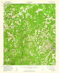
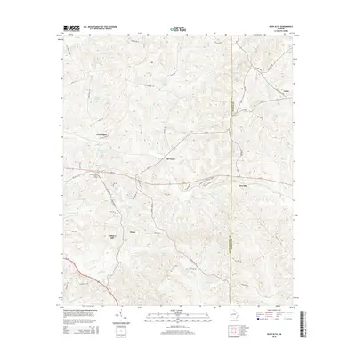
 1950 Buena Vista1955 Print · USGSWest Georgia in the mid-1950s shows a landscape of rural schoolhouses and family-run mills bordering the Fort Benning Military Reservation. Researchers can locate historic rural centers like Brantley, trace the Central of Georgia rail line, and find sites like Callops Mill or Bates Chapel School and Cemetery.
 - 1955 Map of Glen Alta, 1959 Print
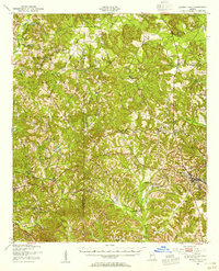
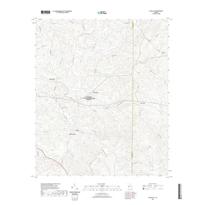
 1955 Glen Alta1959 Print · USGSMid-century Chattahoochee County is defined here by the meeting of major rail lines and the expanding grounds of a military outpost. Genealogists and local historians can trace rural landmarks like Zion Hills Ch, the St Mathews Sch, and the junction of the Seaboard Air Line railroad.3 unique versions available
 - 1955 Map of Buena Vista, 1961 Print
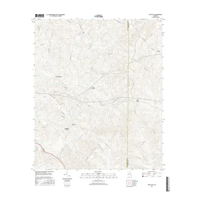
 1955 Buena Vista1961 Print · USGSMid-century Marion County centers on the crossroads of Buena Vista just as the military presence at Fort Benning Military Reservation was expanding. Genealogists and historians can trace family roots through numerous rural landmarks like St Matthew Sch, Liberty Hill Ch, and Glen Alta.
 - 1955 Map of Phenix City, 1964 Print
 1955 Phenix City1964 Print · USGSPost-war Alabama and Georgia meet along the Chattahoochee River as industry and military installations expand. Trace the rail lines of the Central of Georgia through towns like Opelika, Tuskegee, and Alexander City.3 unique versions available
 - 1957 Map of Phenix City
 1957 Phenix City1957 Print · USGSThe Alabama-Georgia borderlands are captured here in the mid-fifties, centered on the bustling river crossing at Phenix City and Columbus. Researchers can trace the mid-century footprint of the Fort Benning Military Reservation or locate smaller textile and railroad towns like Langdale and Camp Hill.
 - 1958 Map of Phenix City
 1958 Phenix City1958 Print · USGSThe Alabama-Georgia borderlands thrive during the late fifties, anchored by the river-driven industry of Columbus and Phenix City. Researchers can trace the mid-century footprints of Fort Benning, Auburn, and the textile towns of Fairfax and Lanett.
 - 1981 Map of Americus, 1982 Print
 1981 Americus1982 Print · USGSWest Georgia and East Alabama appear here during the early 1980s, showcasing the transition from military reservation to agricultural heartland. Researchers can trace the Central of Georgia rail lines through towns like Plains, Ellaville, and the historic site of Andersonville.
 - 2011 Map of Glen Alta, 2011 Print
 2011 Glen Alta2011 Print · USGSCovers Gobblers Hill, including Midpoint, Christopher, and other nearby areas
 - 2014 Map of Glen Alta, 2014 Print
 2014 Glen Alta2014 Print · USGSCovers Gobblers Hill, including Midpoint, Christopher, and other nearby areas
 - 2017 Map of Glen Alta, 2017 Print
 2017 Glen Alta2017 Print · USGSCovers Gobblers Hill, including Midpoint, Christopher, and other nearby areas
 - 2020 Map of Glen Alta, 2020 Print
 2020 Glen Alta2020 Print · USGSCovers Gobblers Hill, including Midpoint, Christopher, and other nearby areas
 - 2024 Map of Glen Alta, 2024 Print
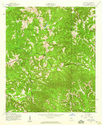
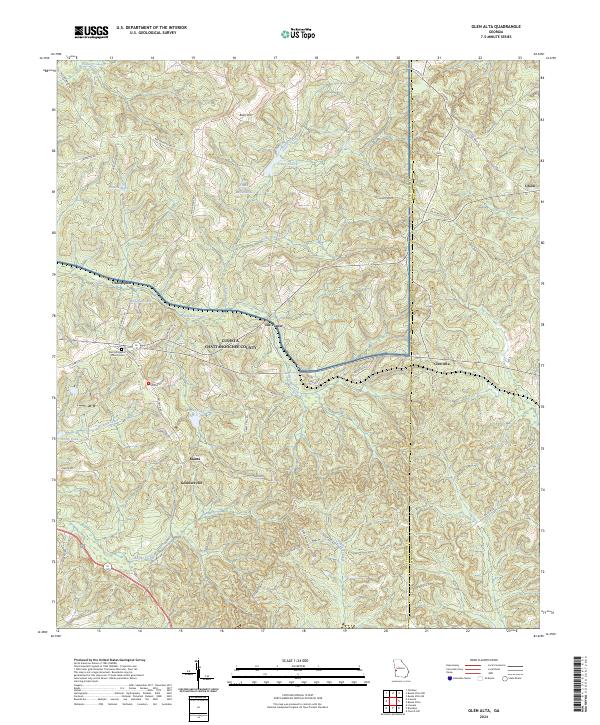 2024 Glen Alta2024 Print · USGSThe rural landscape of Chattahoochee County is shown in detail during the twenty-twenties. Genealogists can trace family landmarks like Zion Hill Baptist Church Cem and old settlements including Ida Vesper and Manta.
End of results
Showing maps 1-13 of 13
Top cities near Gobblers Hill
- Columbus historical maps
- Cusseta historical maps
- Lumpkin historical maps
- Buena Vista historical maps
- Richland historical maps
- Preston historical maps
Frequently asked questions
- What are the different types of historical maps available for Gobblers Hill?
- What is the oldest map of Gobblers Hill?
- Where can I purchase historical maps of Gobblers Hill for my home or office?
- Where can I download high-res historical maps of Gobblers Hill?
- Are there historical topographic maps available for Gobblers Hill?
- Is there historical aerial imagery available for Gobblers Hill?
- Where are historical maps of Gobblers Hill sourced from?