2000s (21st Century) Maps of Holly Springs, Georgia
Explore 20 historic maps of Holly Springs from the 2000s (21st Century). These maps offer a rare glimpse into what life looked like during the 2000s — showing old roads, neighborhoods, homes, and landmarks that have changed or disappeared over time.
Whether you're researching your family's past, planning a metal detecting trip, or studying how Holly Springs's landscape evolved across the 2000s, these high-resolution maps are a powerful tool for exploring the history of this region.
- Focus on a specific era: All maps on this page are from the 2000s, giving you a focused view of this time period.
- See what’s changed: Compare century-old streets, trails, and buildings to today's modern landscape using overlays and satellite layers.
- Research with precision: Use these maps for genealogy, historical research, land use analysis, or educational projects.
- View, download, or print: Maps are fully viewable online in high resolution, and can be downloaded or printed for your own records.
Start exploring Holly Springs's history through authentic maps from the 2000s. This is your window into the past.
Holly Springs, GA maps
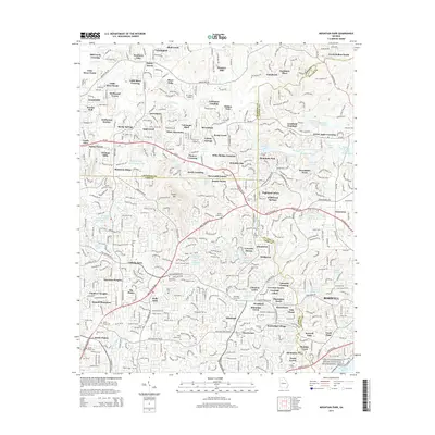
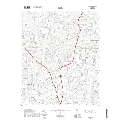
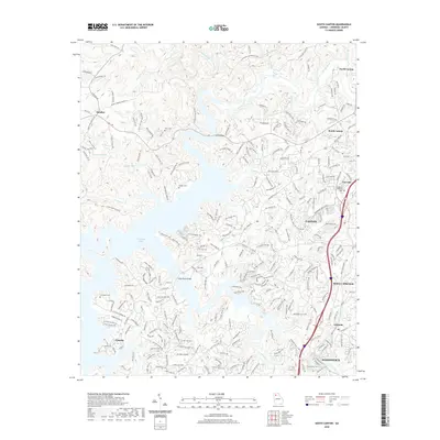
(20)- 2011 Map of Mountain Park, 2011 Print
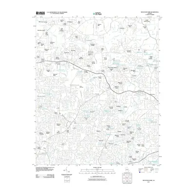 2011 Mountain Park2011 Print · USGSCovers Holly Springs, including Sandy Springs, Roswell, and other nearby areas
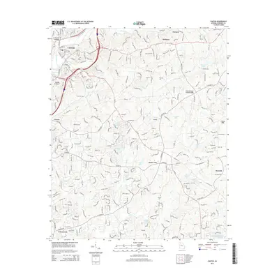
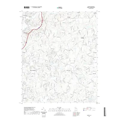
 - 2011 Map of Canton, 2011 Print
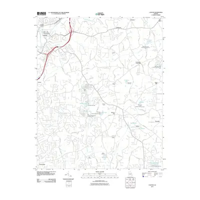 2011 Canton2011 Print · USGSCovers Holly Springs, including Canton, White City, and other nearby areas
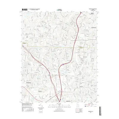
 - 2011 Map of Kennesaw, 2011 Print
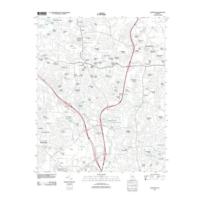 2011 Kennesaw2011 Print · USGSCovers Holly Springs, including Marietta, Kennesaw, and other nearby areas
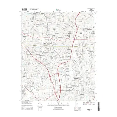
 - 2011 Map of South Canton, 2011 Print
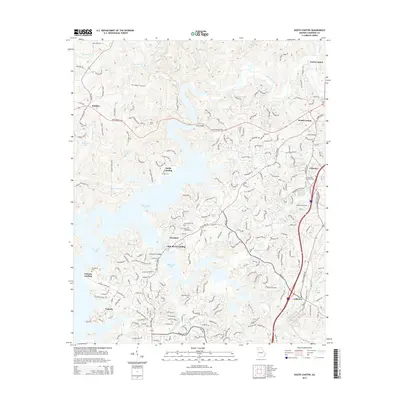
 2011 South Canton2011 Print · USGSCovers Holly Springs, including Woodstock, Canton, and other nearby areas
 - 2014 Map of Kennesaw, 2014 Print
 2014 Kennesaw2014 Print · USGSCovers Holly Springs, including Marietta, Kennesaw, and other nearby areas
 - 2014 Map of Mountain Park, 2014 Print
 2014 Mountain Park2014 Print · USGSCovers Holly Springs, including Sandy Springs, Roswell, and other nearby areas
 - 2014 Map of South Canton, 2014 Print
 2014 South Canton2014 Print · USGSCovers Holly Springs, including Woodstock, Canton, and other nearby areas
 - 2014 Map of Canton, 2014 Print
 2014 Canton2014 Print · USGSCovers Holly Springs, including Canton, White City, and other nearby areas
 - 2017 Map of Kennesaw, 2017 Print
 2017 Kennesaw2017 Print · USGSCovers Holly Springs, including Marietta, Kennesaw, and other nearby areas
 - 2017 Map of South Canton, 2017 Print
 2017 South Canton2017 Print · USGSCovers Holly Springs, including Woodstock, Canton, and other nearby areas
 - 2017 Map of Canton, 2017 Print
 2017 Canton2017 Print · USGSCovers Holly Springs, including Canton, White City, and other nearby areas
 - 2017 Map of Mountain Park, 2017 Print
 2017 Mountain Park2017 Print · USGSCovers Holly Springs, including Sandy Springs, Roswell, and other nearby areas
 - 2020 Map of Mountain Park, 2020 Print
 2020 Mountain Park2020 Print · USGSCovers Holly Springs, including Sandy Springs, Roswell, and other nearby areas
 - 2020 Map of Kennesaw, 2020 Print
 2020 Kennesaw2020 Print · USGSCovers Holly Springs, including Marietta, Kennesaw, and other nearby areas
 - 2020 Map of South Canton, 2020 Print
 2020 South Canton2020 Print · USGSCovers Holly Springs, including Woodstock, Canton, and other nearby areas
 - 2020 Map of Canton, 2020 Print
 2020 Canton2020 Print · USGSCovers Holly Springs, including Canton, White City, and other nearby areas
 - 2024 Map of Mountain Park, 2024 Print
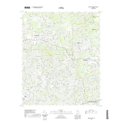
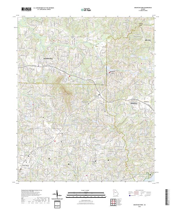 2024 Mountain Park2024 Print · USGSThe northern suburbs of Atlanta reveal a complex landscape of residential growth and family history in the twenty-first century. Genealogists can trace several ancestral sites including the Mayes Family Cem, Mount Beulah Cem, and Kelpin Family Cem.
 - 2024 Map of Kennesaw, 2024 Print
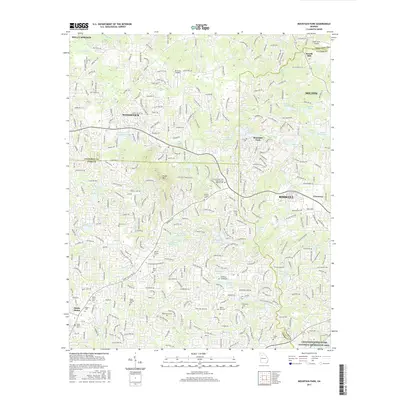
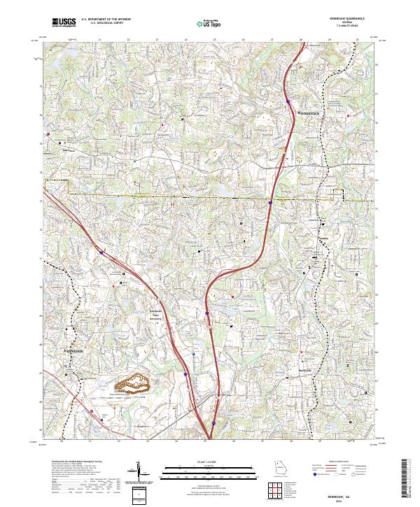 2024 Kennesaw2024 Print · USGSKennesaw and Woodstock are shown during a period of rapid suburban growth along the Interstate 75 corridor. Genealogists can trace family heritage through numerous burial sites like Old Ebenezer Cem, Shiloh Cem, and Blackwell Cem.
 - 2024 Map of Canton, 2024 Print
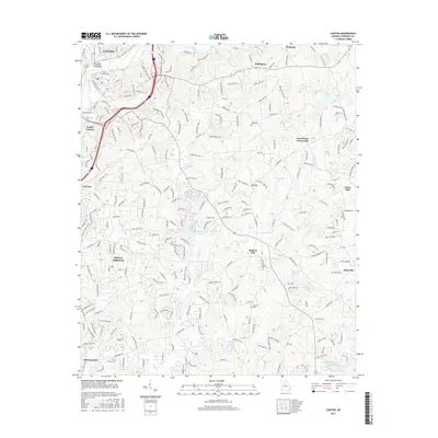
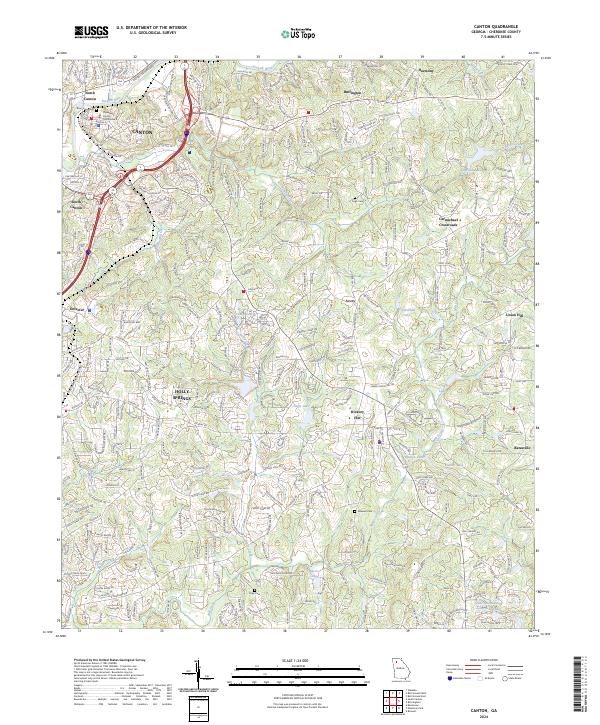 2024 Canton2024 Print · USGSCanton and Holly Springs are shown during a period of significant growth along the Etowah River corridor. Researchers can trace ancestral connections through several family-named landmarks, including River View Cem, Tripp Cem, and Carmichael Crossroads.
 - 2024 Map of South Canton, 2024 Print
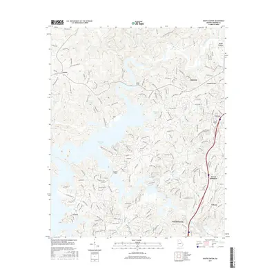
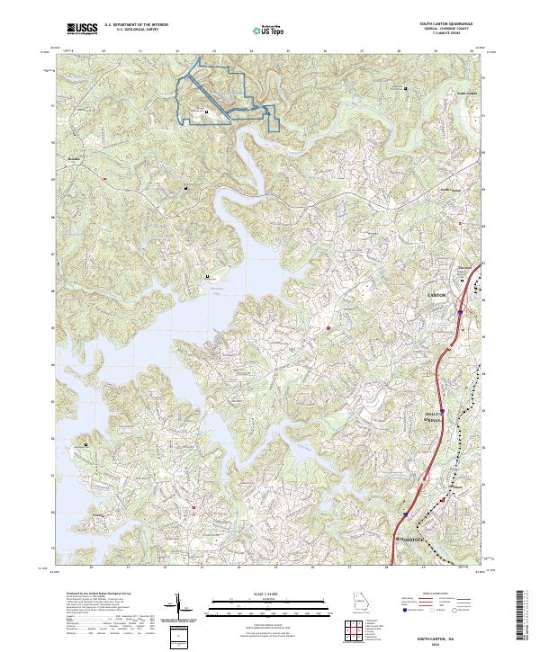 2024 South Canton2024 Print · USGSCherokee County enters the mid-2020s as a landscape defined by the sprawling waters of Allatoona Lake and the growth of the Interstate 575 corridor. Genealogists and historians can locate legacy burial grounds like Knox Cem and Lovingood Cem alongside newer landmarks like the Georgia National Cemetery.
End of results
Showing maps 1-20 of 20
Top cities near Holly Springs
- Sandy Springs historical maps
- Roswell historical maps
- Johns Creek historical maps
- Alpharetta historical maps
- Marietta historical maps
- Dunwoody historical maps
See more
Frequently asked questions
- What are the different types of historical maps available for Holly Springs?
- What is the oldest map of Holly Springs?
- Where can I purchase historical maps of Holly Springs for my home or office?
- Where can I download high-res historical maps of Holly Springs?
- Are there historical topographic maps available for Holly Springs?
- Is there historical aerial imagery available for Holly Springs?
- Where are historical maps of Holly Springs sourced from?