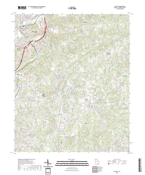
2024 Map of Canton
USGS Topo · Published 2024About this map
The Etowah River corridor anchors this modern topographic perspective of Cherokee County, where the growing municipal center of Canton meets the surrounding landscape of ridges and valleys. Evidence of the area's agricultural and industrial heritage remains visible through thoroughfares like Brick Mill Rd and Scott Mill Rd, hinting at former milling operations along the local watercourses. The civic heart is clearly defined by the Cherokee County Courthouse, while the surrounding region is dotted with smaller communities such as Holly Springs and Hickory Flat.
Find a feature on this map
51 named features on this map. Tap any name to fly to it.
Don’t see what you’re looking for? This feature index may not catch every label — zoom into the map to look around manually.
Map Details
Editions of this 2024 Canton Map
This is the sole edition of this map. No revisions or reprints were ever made.
Other maps of this area

1890 · Suwanee
USGS Topo · 1:125,000

1890 · Cartersville
USGS Topo · 1:125,000

1891 · Cartersville
USGS Topo · 1:125,000

1894 · Suwanee
USGS Topo · 1:125,000

1896 · Cartersville
USGS Topo · 1:125,000

1907 · Acworth
USGS Topo · 1:62,500

1909 · Acworth
USGS Topo · 1:62,500

1926 · Tate
USGS Topo · 1:62,500

1928 · Tate
USGS Topo · 1:62,500

1947 · Waleska
USGS Topo · 1:62,500