2000s (21st Century) Maps of Council, Georgia
Explore 6 historic maps of Council from the 2000s (21st Century). These maps offer a rare glimpse into what life looked like during the 2000s — showing old roads, neighborhoods, homes, and landmarks that have changed or disappeared over time.
Whether you're researching your family's past, planning a metal detecting trip, or studying how Council's landscape evolved across the 2000s, these high-resolution maps are a powerful tool for exploring the history of this region.
- Focus on a specific era: All maps on this page are from the 2000s, giving you a focused view of this time period.
- See what’s changed: Compare century-old streets, trails, and buildings to today's modern landscape using overlays and satellite layers.
- Research with precision: Use these maps for genealogy, historical research, land use analysis, or educational projects.
- View, download, or print: Maps are fully viewable online in high resolution, and can be downloaded or printed for your own records.
Start exploring Council's history through authentic maps from the 2000s. This is your window into the past.
Council, GA maps
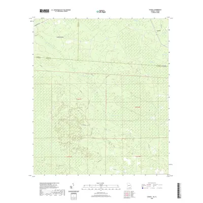
(6)- 2006 Map of Council, 2007 Print
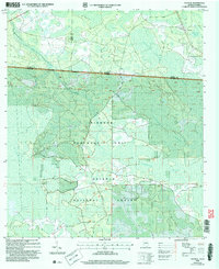 2006 Council2007 Print · USGSThe Georgia-Florida borderlands come to life in this mid-2000s study of the wetlands and forests south of Council. Researchers can trace the intersection of state lines through the Pinhook Swamp and follow landmarks like the Watson Line.
 - 2011 Map of Council, 2011 Print
 2011 Council2011 Print · USGSCovers Council, including Columbia County, Echols County, and other nearby areas
 - 2014 Map of Council, 2014 Print
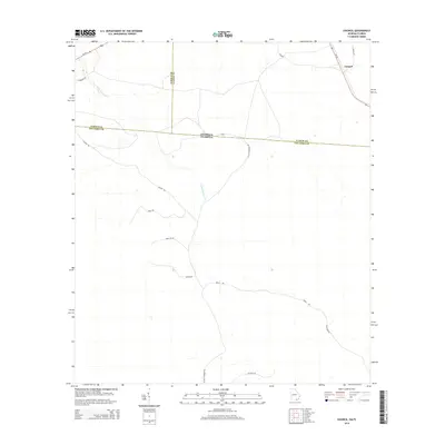 2014 Council2014 Print · USGSCovers Council, including Columbia County, Echols County, and other nearby areas
 - 2017 Map of Council, 2017 Print
 2017 Council2017 Print · USGSCovers Council, including Columbia County, Echols County, and other nearby areas
 - 2020 Map of Council, 2020 Print
 2020 Council2020 Print · USGSCovers Council, including Columbia County, Echols County, and other nearby areas
 - 2024 Map of Council, 2024 Print
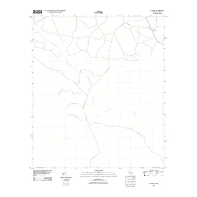
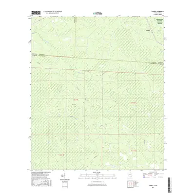
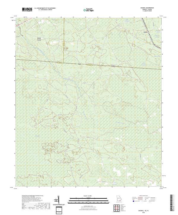 2024 Council2024 Print · USGSThe Georgia-Florida borderlands near Council are documented in this recent survey, showcasing the rural landscape at the edge of the swamp. Trace the winding path of Little Suwannee Creek or locate local landmarks like Sandlin Bay and the Okefenokee National Wildlife Refuge.
End of results
Showing maps 1-6 of 6
Top cities near Council
Frequently asked questions
- What are the different types of historical maps available for Council?
- What is the oldest map of Council?
- Where can I purchase historical maps of Council for my home or office?
- Where can I download high-res historical maps of Council?
- Are there historical topographic maps available for Council?
- Is there historical aerial imagery available for Council?
- Where are historical maps of Council sourced from?