Old Maps of Council, Georgia for Academic Research
Study the evolution of Council with 12 high-resolution historic maps. Whether you're teaching, researching, or modeling changes in land use, these maps provide essential visual documentation of urban, environmental, and geographic change.
- Analyze long-term change: Track patterns in development, transportation, and natural features.
- Ideal for environmental or urban studies: Support academic projects with primary historical map data.
- Use in the classroom or lab: Educators and researchers rely on these maps to bring historical context to life.
These maps are a powerful tool for teaching, research, and visualizing how Council has changed over the decades.
Council, GA maps
(12)- 1954 Map of Valdosta, 1967 Print
 1954 Valdosta1967 Print · USGSThe South Georgia and North Florida borderlands are captured here in the mid-fifties, showing the deep timber and wetland networks of the coastal plain. Researchers can trace the path of the Atlantic Coast Line through Valdosta or explore the interior of the Okefenokee Swamp.2 unique versions available
 - 1955 Map of Council, 1956 Print
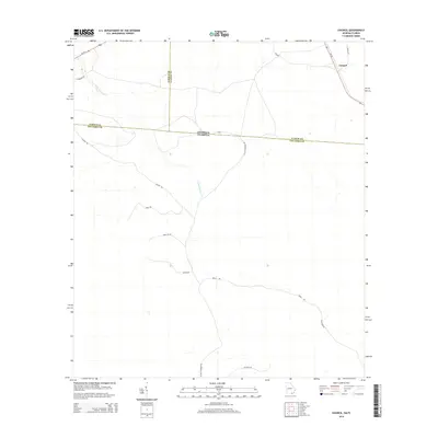
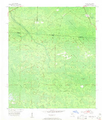 1955 Council1956 Print · USGSThe Georgia-Florida borderlands come into focus in the mid-1950s, showing a landscape of deep cypress swamps and isolated rail stops. Researchers can trace the Southern railroad through Council or follow the historic Watson Line across Pinhook Swamp.4 unique versions available
 - 1958 Map of Valdosta
 1958 Valdosta1958 Print · USGSSouth Georgia and North Florida are captured here in the mid-fifties, showing the vast Okefenokee Swamp and the vital timber and rail corridors connecting the two states. Researchers can locate the footprint of Moody Air Force Base, trace the Live Oak Perry and Gulf railroad, or find early community sites like Bakers Mill and Paradise Church.
 - 1959 Map of Valdosta
 1959 Valdosta1959 Print · USGSThe Georgia-Florida borderlands in the mid-fifties reveal a landscape of massive blackwater swamps and emerging military aviation hubs. Genealogists and historians can trace rail-stop towns like Fargo and Stockton or explore the interior reaches of the Okefenokee Swamp and Billys Island.
 - 1980 Map of Okefenokee Swamp, 1981 Print
 1980 Okefenokee Swamp1981 Print · USGSThe Georgia-Florida borderlands come to life in the early 1980s, centered on the immense wilderness of the Okefenokee Swamp. Genealogists and historians can trace rail-stop settlements like Fargo and Fruitland or explore the interior geography of Billys Island and Trail Ridge.
 - 1994 Map of Council, 1998 Print
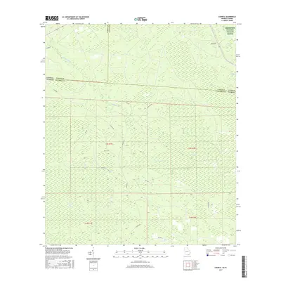
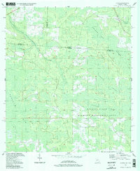 1994 Council1998 Print · USGSThe Georgia-Florida borderlands come into focus in the 1990s, revealing a landscape defined by the Osceola State Wildlife Management Area. Researchers can trace the historic Watson Line and the winding course of Little Suwannee Creek through the Pinhook Swamp.
 - 2006 Map of Council, 2007 Print
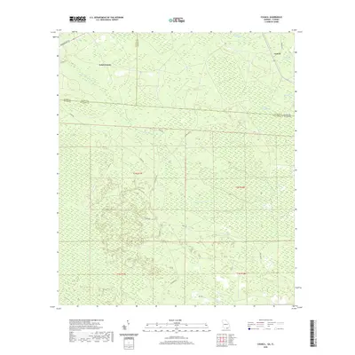
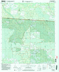 2006 Council2007 Print · USGSThe Georgia-Florida borderlands come to life in this mid-2000s study of the wetlands and forests south of Council. Researchers can trace the intersection of state lines through the Pinhook Swamp and follow landmarks like the Watson Line.
 - 2011 Map of Council, 2011 Print
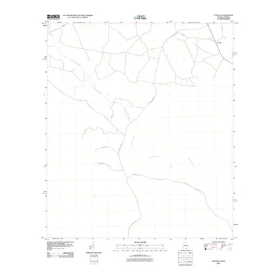 2011 Council2011 Print · USGSCovers Council, including Columbia County, Echols County, and other nearby areas
 - 2014 Map of Council, 2014 Print
 2014 Council2014 Print · USGSCovers Council, including Columbia County, Echols County, and other nearby areas
 - 2017 Map of Council, 2017 Print
 2017 Council2017 Print · USGSCovers Council, including Columbia County, Echols County, and other nearby areas
 - 2020 Map of Council, 2020 Print
 2020 Council2020 Print · USGSCovers Council, including Columbia County, Echols County, and other nearby areas
 - 2024 Map of Council, 2024 Print
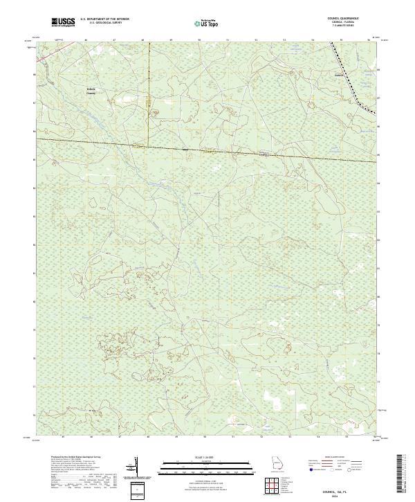 2024 Council2024 Print · USGSThe Georgia-Florida borderlands near Council are documented in this recent survey, showcasing the rural landscape at the edge of the swamp. Trace the winding path of Little Suwannee Creek or locate local landmarks like Sandlin Bay and the Okefenokee National Wildlife Refuge.
End of results
Showing maps 1-12 of 12
Top cities near Council
Frequently asked questions
- What are the different types of historical maps available for Council?
- What is the oldest map of Council?
- Where can I purchase historical maps of Council for my home or office?
- Where can I download high-res historical maps of Council?
- Are there historical topographic maps available for Council?
- Is there historical aerial imagery available for Council?
- Where are historical maps of Council sourced from?