Old Maps of Ernest, Georgia for Metal Detecting
Plan your next treasure hunt with 11 historic maps of Ernest. Find old homesites, ghost towns, trails, and gathering spots that may be lost to time — perfect for identifying promising metal detecting locations.
- Locate forgotten sites: Uncover places like long-lost settlements, abandoned rail lines, or gathering spots.
- Plan better hunts: Use map overlays combined with LiDAR or satellite views to narrow in on historically rich areas.
- Made for detectorists: Thousands of hobbyists use these maps to discover relics, coins, and hidden history.
Use these historic maps to boost your research and find new opportunities beneath the surface of Ernest.
Ernest, GA maps
(11)- 1954 Map of Valdosta, 1967 Print
 1954 Valdosta1967 Print · USGSThe South Georgia and North Florida borderlands are captured here in the mid-fifties, showing the deep timber and wetland networks of the coastal plain. Researchers can trace the path of the Atlantic Coast Line through Valdosta or explore the interior of the Okefenokee Swamp.2 unique versions available
 - 1958 Map of Valdosta
 1958 Valdosta1958 Print · USGSSouth Georgia and North Florida are captured here in the mid-fifties, showing the vast Okefenokee Swamp and the vital timber and rail corridors connecting the two states. Researchers can locate the footprint of Moody Air Force Base, trace the Live Oak Perry and Gulf railroad, or find early community sites like Bakers Mill and Paradise Church.
 - 1959 Map of Valdosta
 1959 Valdosta1959 Print · USGSThe Georgia-Florida borderlands in the mid-fifties reveal a landscape of massive blackwater swamps and emerging military aviation hubs. Genealogists and historians can trace rail-stop towns like Fargo and Stockton or explore the interior reaches of the Okefenokee Swamp and Billys Island.
 - 1968 Map of Headlight, 1970 Print
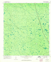 1968 Headlight1970 Print · USGSClinch County in the late sixties reveals a landscape of southern Georgia timberlands and wetlands woven together by rail and road. Genealogists and local historians can trace the Southern line through Headlight, explore the reaches of McGarrity Bay, and locate the small settlement of Ernest.2 unique versions available
 - 1980 Map of Okefenokee Swamp, 1981 Print
 1980 Okefenokee Swamp1981 Print · USGSThe Georgia-Florida borderlands come to life in the early 1980s, centered on the immense wilderness of the Okefenokee Swamp. Genealogists and historians can trace rail-stop settlements like Fargo and Fruitland or explore the interior geography of Billys Island and Trail Ridge.
 - 1994 Map of Headlight
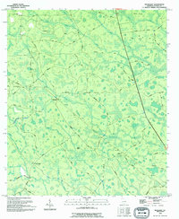 1994 Headlight1994 Print · USGSThe Clinch County wetlands are mapped here in the mid-1990s, showing a landscape of scattered settlements and named bays. Researchers can find old family landmarks and rural infrastructure like the Cem near Stavey Bay and the small community of Headlight.
 - 2011 Map of Headlight, 2011 Print
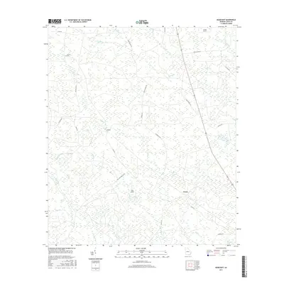
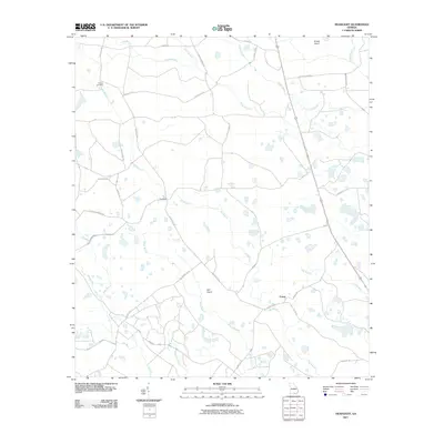 2011 Headlight2011 Print · USGSCovers Ernest, including Clinch County, United States, and other nearby areas
 - 2014 Map of Headlight, 2014 Print
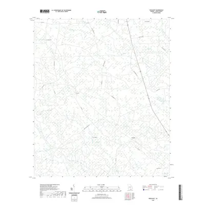
 2014 Headlight2014 Print · USGSCovers Ernest, including Clinch County, United States, and other nearby areas
 - 2017 Map of Headlight, 2017 Print
 2017 Headlight2017 Print · USGSCovers Ernest, including Clinch County, United States, and other nearby areas
 - 2020 Map of Headlight, 2020 Print
 2020 Headlight2020 Print · USGSCovers Ernest, including Clinch County, United States, and other nearby areas
 - 2024 Map of Headlight, 2024 Print
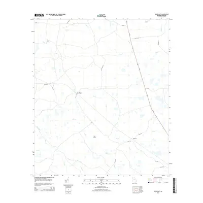
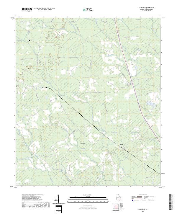 2024 Headlight2024 Print · USGSClinch County in the twenty-first century remains a landscape of intricate wetlands and isolated family landmarks. Genealogists and local historians can locate the Thomas Fullwood Gravesite, the Hilliard Cem, and the small settlement of Ernest among the reaches of Cart Island Swamp.
End of results
Showing maps 1-11 of 11
Top cities near Ernest
Frequently asked questions
- What are the different types of historical maps available for Ernest?
- What is the oldest map of Ernest?
- Where can I purchase historical maps of Ernest for my home or office?
- Where can I download high-res historical maps of Ernest?
- Are there historical topographic maps available for Ernest?
- Is there historical aerial imagery available for Ernest?
- Where are historical maps of Ernest sourced from?