Old Maps of Jamestown, Georgia for Academic Research
Study the evolution of Jamestown with 11 high-resolution historic maps. Whether you're teaching, researching, or modeling changes in land use, these maps provide essential visual documentation of urban, environmental, and geographic change.
- Analyze long-term change: Track patterns in development, transportation, and natural features.
- Ideal for environmental or urban studies: Support academic projects with primary historical map data.
- Use in the classroom or lab: Educators and researchers rely on these maps to bring historical context to life.
These maps are a powerful tool for teaching, research, and visualizing how Jamestown has changed over the decades.
Jamestown, GA maps
(11)- 1954 Map of Valdosta, 1967 Print
 1954 Valdosta1967 Print · USGSThe South Georgia and North Florida borderlands are captured here in the mid-fifties, showing the deep timber and wetland networks of the coastal plain. Researchers can trace the path of the Atlantic Coast Line through Valdosta or explore the interior of the Okefenokee Swamp.2 unique versions available
 - 1958 Map of Valdosta
 1958 Valdosta1958 Print · USGSSouth Georgia and North Florida are captured here in the mid-fifties, showing the vast Okefenokee Swamp and the vital timber and rail corridors connecting the two states. Researchers can locate the footprint of Moody Air Force Base, trace the Live Oak Perry and Gulf railroad, or find early community sites like Bakers Mill and Paradise Church.
 - 1959 Map of Valdosta
 1959 Valdosta1959 Print · USGSThe Georgia-Florida borderlands in the mid-fifties reveal a landscape of massive blackwater swamps and emerging military aviation hubs. Genealogists and historians can trace rail-stop towns like Fargo and Stockton or explore the interior reaches of the Okefenokee Swamp and Billys Island.
 - 1967 Map of Spooner, 1968 Print
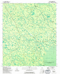
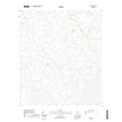
 1967 Spooner1968 Print · USGSSoutheast Georgia's dense marshlands are captured in detail during the late 1960s as federal surveyors mapped the hydrologic complexity of the Okefenokee Swamp. Genealogists and historians can locate isolated points of interest like Antioch Ch, the junction at The Wye, and the historic Dismal Logging Tram.2 unique versions available
 - 1980 Map of Okefenokee Swamp, 1981 Print
 1980 Okefenokee Swamp1981 Print · USGSThe Georgia-Florida borderlands come to life in the early 1980s, centered on the immense wilderness of the Okefenokee Swamp. Genealogists and historians can trace rail-stop settlements like Fargo and Fruitland or explore the interior geography of Billys Island and Trail Ridge.
 - 1994 Map of Spooner
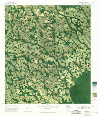
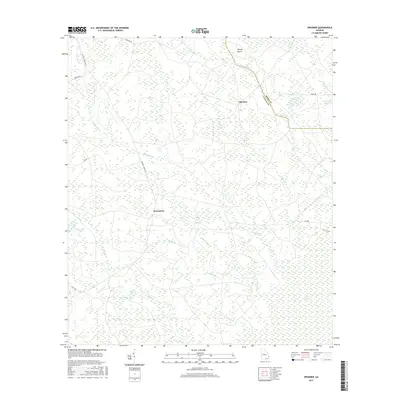
 1994 Spooner1994 Print · USGSThe Clinch and Ware County line was captured in the mid-nineties as it borders the great southern wetlands. Genealogists and local historians can locate Antioch Ch, trace the remote Jamestown settlement, and explore named islands like Gainey Island.
 - 2011 Map of Spooner, 2011 Print
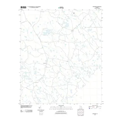 2011 Spooner2011 Print · USGSCovers Jamestown, including Spooner, Ware County, and other nearby areas
 - 2014 Map of Spooner, 2014 Print
 2014 Spooner2014 Print · USGSCovers Jamestown, including Spooner, Ware County, and other nearby areas
 - 2017 Map of Spooner, 2017 Print
 2017 Spooner2017 Print · USGSCovers Jamestown, including Spooner, Ware County, and other nearby areas
 - 2020 Map of Spooner, 2020 Print
 2020 Spooner2020 Print · USGSCovers Jamestown, including Spooner, Ware County, and other nearby areas
 - 2024 Map of Spooner, 2024 Print
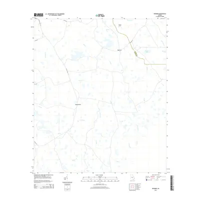
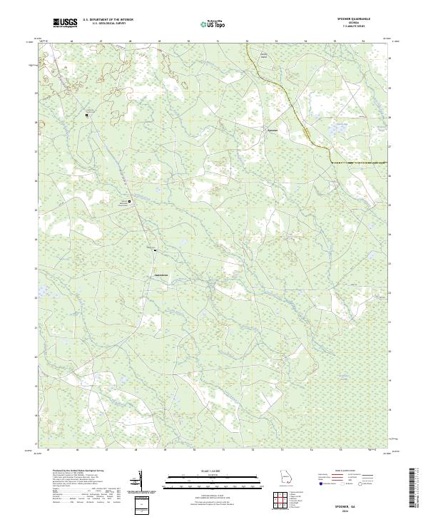 2024 Spooner2024 Print · USGSClinch and Ware Counties are shown in the 2020s as the landscape transitions into the famous southern Georgia wetlands. Genealogists and local historians can trace family landmarks like the Lawrence Smith Cem and the small settlement of Jamestown.
End of results
Showing maps 1-11 of 11
Top cities near Jamestown
Frequently asked questions
- What are the different types of historical maps available for Jamestown?
- What is the oldest map of Jamestown?
- Where can I purchase historical maps of Jamestown for my home or office?
- Where can I download high-res historical maps of Jamestown?
- Are there historical topographic maps available for Jamestown?
- Is there historical aerial imagery available for Jamestown?
- Where are historical maps of Jamestown sourced from?