Old Maps of Magnolia, Georgia for Academic Research
Study the evolution of Magnolia with 11 high-resolution historic maps. Whether you're teaching, researching, or modeling changes in land use, these maps provide essential visual documentation of urban, environmental, and geographic change.
- Analyze long-term change: Track patterns in development, transportation, and natural features.
- Ideal for environmental or urban studies: Support academic projects with primary historical map data.
- Use in the classroom or lab: Educators and researchers rely on these maps to bring historical context to life.
These maps are a powerful tool for teaching, research, and visualizing how Magnolia has changed over the decades.
Magnolia, GA maps
(11)- 1954 Map of Valdosta, 1967 Print
 1954 Valdosta1967 Print · USGSThe South Georgia and North Florida borderlands are captured here in the mid-fifties, showing the deep timber and wetland networks of the coastal plain. Researchers can trace the path of the Atlantic Coast Line through Valdosta or explore the interior of the Okefenokee Swamp.2 unique versions available
 - 1958 Map of Valdosta
 1958 Valdosta1958 Print · USGSSouth Georgia and North Florida are captured here in the mid-fifties, showing the vast Okefenokee Swamp and the vital timber and rail corridors connecting the two states. Researchers can locate the footprint of Moody Air Force Base, trace the Live Oak Perry and Gulf railroad, or find early community sites like Bakers Mill and Paradise Church.
 - 1959 Map of Valdosta
 1959 Valdosta1959 Print · USGSThe Georgia-Florida borderlands in the mid-fifties reveal a landscape of massive blackwater swamps and emerging military aviation hubs. Genealogists and historians can trace rail-stop towns like Fargo and Stockton or explore the interior reaches of the Okefenokee Swamp and Billys Island.
 - 1968 Map of Midway, 1970 Print
 1968 Midway1970 Print · USGSClinch County was a landscape of dense pine forests and swampy bays in the late sixties. Genealogists and local historians can trace family locations through Griffis Cem, Hard Scramble Cem, and the rural community at Midway.
 - 1980 Map of Okefenokee Swamp, 1981 Print
 1980 Okefenokee Swamp1981 Print · USGSThe Georgia-Florida borderlands come to life in the early 1980s, centered on the immense wilderness of the Okefenokee Swamp. Genealogists and historians can trace rail-stop settlements like Fargo and Fruitland or explore the interior geography of Billys Island and Trail Ridge.
 - 1994 Map of Midway
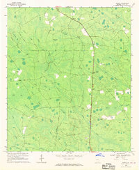
 1994 Midway1994 Print · USGSClinch County in the mid-nineties shows a landscape of expansive bays and timber tracts south of Midway. Genealogists can locate family-named landmarks like Griffis Cem, Chauncey Cem, and the rural congregation at Bethel Ch.
 - 2011 Map of Midway, 2011 Print
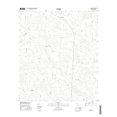
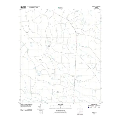 2011 Midway2011 Print · USGSCovers Magnolia, including Midway, Chauncey, and other nearby areas
 - 2014 Map of Midway, 2014 Print
 2014 Midway2014 Print · USGSCovers Magnolia, including Midway, Chauncey, and other nearby areas
 - 2017 Map of Midway, 2017 Print
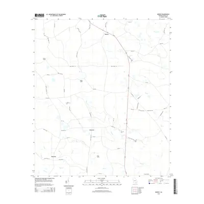
 2017 Midway2017 Print · USGSCovers Magnolia, including Midway, Chauncey, and other nearby areas
 - 2020 Map of Midway, 2020 Print
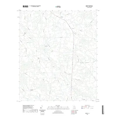 2020 Midway2020 Print · USGSCovers Magnolia, including Midway, Chauncey, and other nearby areas
 - 2024 Map of Midway, 2024 Print
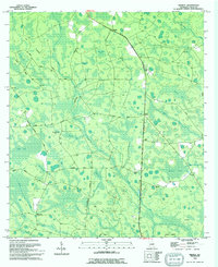
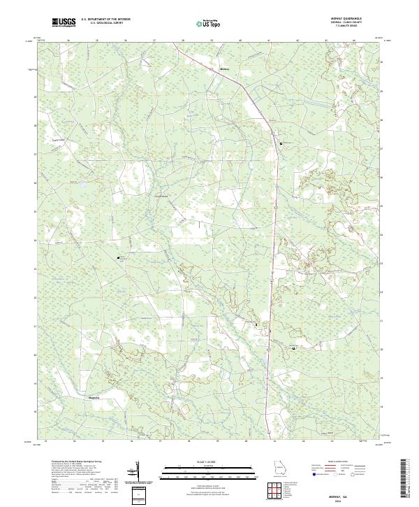 2024 Midway2024 Print · USGSClinch County, Georgia, is shown here in the 2020s, characterized by its unique system of wetland basins and small rural crossroads. Researchers can locate family burial sites at Griffis Cem and Chauncey Cem or trace local landmarks like Knight Island and Big Water Pond.
End of results
Showing maps 1-11 of 11
Top cities near Magnolia
- Homerville historical maps
- Fargo historical maps
- Argyle historical maps
- Du Pont historical maps
- Ernest historical maps
Frequently asked questions
- What are the different types of historical maps available for Magnolia?
- What is the oldest map of Magnolia?
- Where can I purchase historical maps of Magnolia for my home or office?
- Where can I download high-res historical maps of Magnolia?
- Are there historical topographic maps available for Magnolia?
- Is there historical aerial imagery available for Magnolia?
- Where are historical maps of Magnolia sourced from?