2020s Maps of Dade County, Georgia
Explore 16 historic maps of Dade County from the 2020s. These maps offer a rare glimpse into what life looked like during the 2020s — showing old roads, neighborhoods, homes, and landmarks that have changed or disappeared over time.
Whether you're researching your family's past, planning a metal detecting trip, or studying how Dade County's landscape evolved across the 2020s, these high-resolution maps are a powerful tool for exploring the history of this region.
- Focus on a specific era: All maps on this page are from the 2020s, giving you a focused view of this time period.
- See what’s changed: Compare century-old streets, trails, and buildings to today's modern landscape using overlays and satellite layers.
- Research with precision: Use these maps for genealogy, historical research, land use analysis, or educational projects.
- View, download, or print: Maps are fully viewable online in high resolution, and can be downloaded or printed for your own records.
Start exploring Dade County's history through authentic maps from the 2020s. This is your window into the past.
Dade County, GA maps
(16)- 2020 Map of New Home, 2020 Print
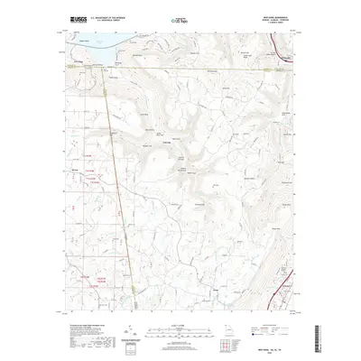 2020 New Home2020 Print · USGSCovers Dade County, including Trenton, New Hope, and other nearby areas
 - 2020 Map of Durham, 2020 Print
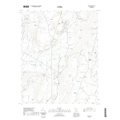 2020 Durham2020 Print · USGSCovers Dade County, including Trenton, Cooper Heights, and other nearby areas
 - 2020 Map of Trenton, 2020 Print
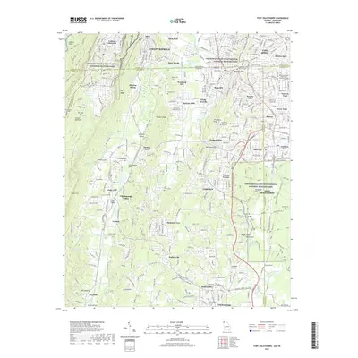
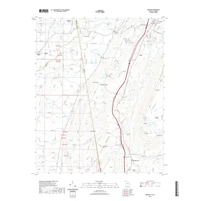 2020 Trenton2020 Print · USGSCovers Dade County, including Trenton, Shiloh, and other nearby areas
 - 2020 Map of Cedar Grove, 2020 Print
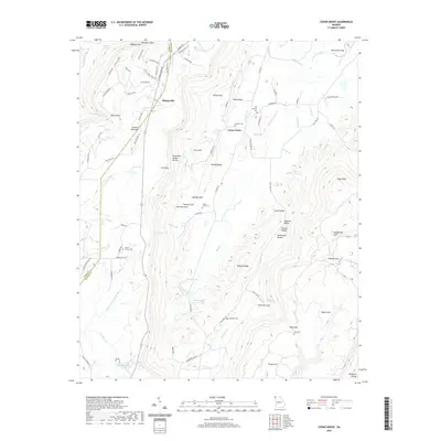 2020 Cedar Grove2020 Print · USGSCovers Dade County, including Masseyville, Cedar Grove, and other nearby areas
 - 2020 Map of Fort Oglethorpe, 2020 Print
 2020 Fort Oglethorpe2020 Print · USGSCovers Dade County, including Chattanooga, East Ridge, and other nearby areas
 - 2020 Map of Hooker, 2020 Print
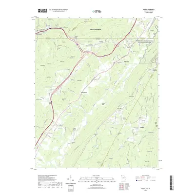 2020 Hooker2020 Print · USGSCovers Dade County, including Chattanooga, Trenton, and other nearby areas
 - 2020 Map of Valley Head, 2020 Print
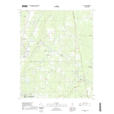 2020 Valley Head2020 Print · USGSCovers Dade County, including Fort Payne, Valley Head, and other nearby areas
 - 2020 Map of Sulphur Springs, 2020 Print
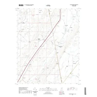 2020 Sulphur Springs2020 Print · USGSCovers Dade County, including Battelle, Rogers, and other nearby areas
 - 2024 Map of Sulphur Springs, 2024 Print
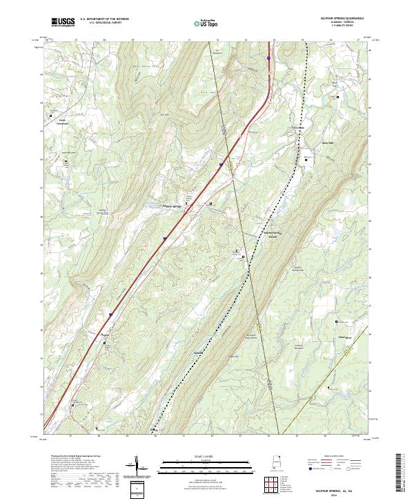 2024 Sulphur Springs2024 Print · USGSDeKalb County and the borderlands of Georgia appear here in contemporary detail, showing the deep valleys and plateaus that define this region. Genealogists can trace numerous family sites such as Finlayson Family Cem, Miller Cem, and Beene Cem across the mountain ridges.
 - 2024 Map of Trenton, 2024 Print
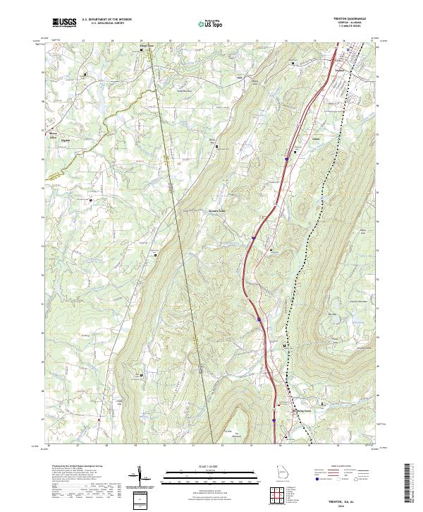 2024 Trenton2024 Print · USGSThe Northwest Georgia valley around Trenton is documented here in its contemporary state, framed by the heights of Lookout Mountain. Genealogists and historians can locate family landmarks such as Floral Crest Cem, the Dade County Courthouse, and the settlement of Rising Fawn.
 - 2024 Map of New Home, 2024 Print
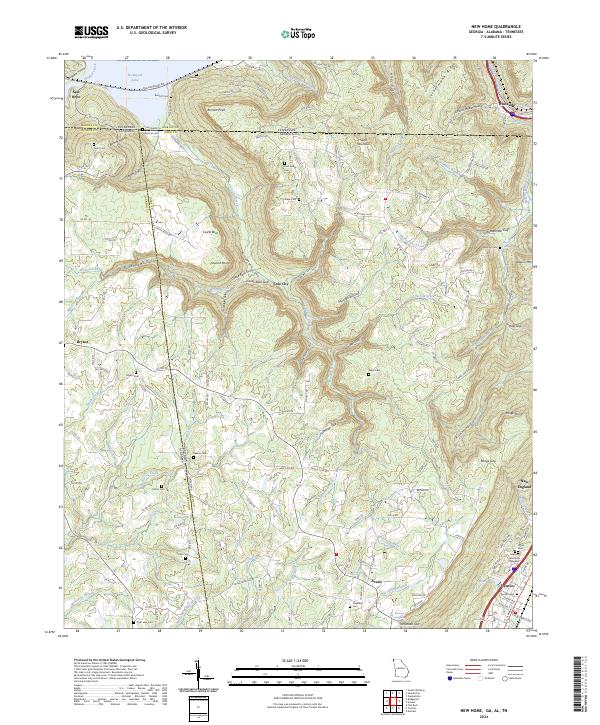 2024 New Home2024 Print · USGSThe tri-state border of Georgia, Alabama, and Tennessee comes alive on this map, showing the rugged topography of Sand Mountain and Nickajack Lake. Family historians can trace small burial grounds like Ford Family Cem and State Line Cem or early settlements like Cole City.
 - 2024 Map of Fort Oglethorpe, 2024 Print
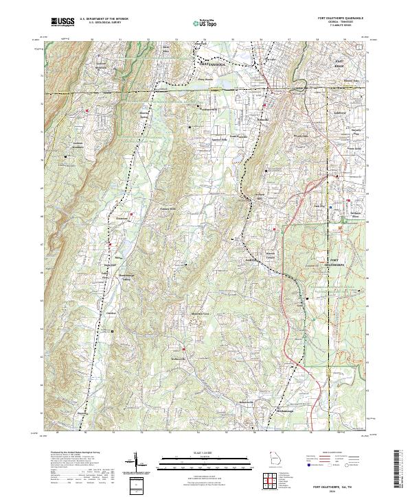 2024 Fort Oglethorpe2024 Print · USGSThe Georgia-Tennessee border comes into focus in this contemporary survey, centering on the hallowed grounds of Chickamauga and Chattanooga National Military Park. Trace family history at Mission Ridge Cem or explore the heights of Lookout Mountain and Snodgrass Hill.
 - 2024 Map of Valley Head, 2024 Print
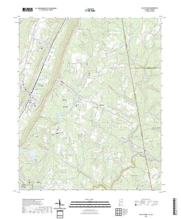 2024 Valley Head2024 Print · USGSDeKalb County, Alabama, and the Georgia state line meet in this modern survey of the Lookout Mountain plateau. Genealogists can locate family landmarks like the Winston Plantation Slave Cem, Jones Cem, and the historic railroad corridor near Mentone.
 - 2024 Map of Durham, 2024 Print
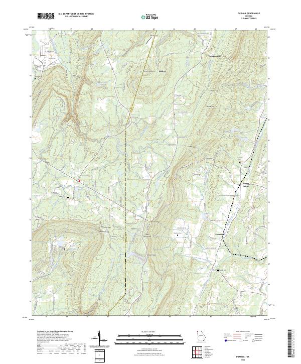 2024 Durham2024 Print · USGSWalker County and the heights of Lookout Mountain are documented in this recent survey of northwest Georgia. Researchers can trace family history through several local burial sites like Hawkins Cem and Singleterry Cem or explore the settlements of Durham and Cassandra.
 - 2024 Map of Cedar Grove, 2024 Print
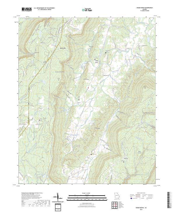 2024 Cedar Grove2024 Print · USGSThe McLemore Cove valley sits between the towering ridges of Lookout Mountain and Pigeon Mountain in this modern survey. Researchers can trace family history through several burial grounds, including Anderson Cem and Cedar Grove Cem, or locate landmarks like Anderson Cave Spring.
 - 2024 Map of Hooker, 2024 Print
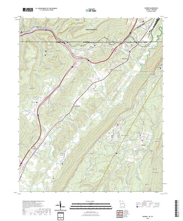 2024 Hooker2024 Print · USGSThe Georgia-Tennessee borderlands come alive in this map, showing the ridges and valleys near the turn of the 21st century. Researchers can trace family history through local landmarks like Old Hooker, Bethlehem Cem, and Paynes Chapel.
End of results
Showing maps 1-16 of 16
Top cities of Dade County
Frequently asked questions
- What are the different types of historical maps available for Dade County?
- What is the oldest map of Dade County?
- Where can I purchase historical maps of Dade County for my home or office?
- Where can I download high-res historical maps of Dade County?
- Are there historical topographic maps available for Dade County?
- Is there historical aerial imagery available for Dade County?
- Where are historical maps of Dade County sourced from?