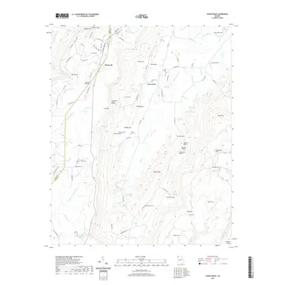
2020 Map of Cedar Grove
USGS Topo · Published 2020About this map
Masseyville and Cedar Grove anchor this mountainous section of Northwest Georgia, where the high ridges of Lookout Mountain and Pigeon Mtn overlook a series of deep gulfs and hollows. The landscape is defined by the Tennessee Valley Divide, with numerous water sources like Anderson Cave Spring and the W Fork Little River shaping the terrain. The area is dotted with family and community landmarks, including Old Antioch Cem and Mount Carmel Cem, which offer significant value for genealogical research into the families who settled this part of the Dade and Walker county line.
Find a feature on this map
108 named features on this map. Tap any name to fly to it.
Don’t see what you’re looking for? This feature index may not catch every label — zoom into the map to look around manually.
Map Details
Editions of this 2020 Cedar Grove Map
This is the sole edition of this map. No revisions or reprints were ever made.
Other maps of this area

1886 · Ringgold
USGS Topo · 1:125,000

1886 · Stevenson
USGS Topo · 1:125,000

1892 · Ringgold
USGS Topo · 1:125,000

1892 · Stevenson
USGS Topo · 1:125,000

1895 · Stevenson
USGS Topo · 1:125,000

1935 · Durham
USGS Topo · 1:24,000

1936 · Trenton
USGS Topo · 1:24,000

1936 · Kensington
USGS Topo · 1:24,000

1936 · Sulphur Springs
USGS Topo · 1:24,000

1936 · Estelle
USGS Topo · 1:24,000