Old Maps of Amicalola, Georgia
Explore 15 old maps of Amicalola, spanning from 1888 to today. These high-resolution historic maps reveal how streets, neighborhoods, landmarks, and natural features evolved over time — perfect for genealogy, metal detecting, research, and local history exploration.
What you can do with these maps:
- See how Amicalola changed over time: Compare historical maps to modern-day views to trace roads, homesites, rail lines & more.
- View detailed metadata: Each map includes creators, publishers, year, scale, and archive source.
- Overlay maps with satellite & LiDAR: Visualize the past alongside modern tools to explore terrain & human change.
- Trusted historical sources: Maps sourced from the USGS, Library of Congress, and other archives.
- Access maps your way: View online, download high-res files, or order prints for personal or research use.
Start exploring old maps of Amicalola to uncover forgotten places, hidden landmarks, and the deep history beneath your feet.
Amicalola, GA maps
(15)- 1888 Map of Ellijay
 1888 Ellijay1888 Print · USGSNorth Georgia in the late 1880s was a land of high peaks and emerging rail lines as the mountains were first being methodically surveyed. You can trace the Marietta and North Georgia Railroad through Blue Ridge and locate vanished stops like Vanzants Store or the rural community of Cherry Log.
 - 1892 Map of Ellijay
 1892 Ellijay1892 Print · USGSNorth Georgia's mountain communities were primarily connected by river valleys and the winding Marietta and North Georgia Railroad in the late nineteenth century. Genealogists can trace early homesteads and centers of trade like Vanzant's Store, Mineral Bluff, and Cherry Log.
 - 1898 Map of Ellijay
 1898 Ellijay1898 Print · USGSNorth Georgia’s mountain country is captured here in the late nineteenth century, showing the early development of Gilmer and Fannin counties. Genealogists can trace family homesteads near old river crossings like Centers Ferry and settlements such as Mineral Bluff and Whitepath.2 unique versions available
 - 1911 Map of Ellijay
 1911 Ellijay1911 Print · USGSNorth Georgia and the Tennessee border are captured here at the turn of the century, showing a mountain landscape of river ferries and early rail. Genealogists can locate family landmarks like Higdons Store, the Pisgah church, or crossings at Bakers Ferry and Shallow Ford.4 unique versions available
 - 1955 Map of Rome
 1955 Rome1955 Print · USGSThe tri-state borderlands of Georgia, Alabama, and Tennessee appear in the mid-fifties as a landscape of ridge-and-valley industry and river navigation. Genealogists can trace family footprints near Chattanooga, the iron works of Gadsden, and textile towns like Trion or Summerville.
 - 1958 Map of Rome, 1966 Print
 1958 Rome1966 Print · USGSNorthwest Georgia and neighboring Tennessee and Alabama are captured here in the late fifties, showcasing a landscape of high ridges and river valleys. Researchers can trace historic rail lines like the Seaboard Air Line RR and explore the bounds of Cloudland Canyon State Park or Fort Oglethorpe.3 unique versions available
 - 1961 Map of Rome
 1961 Rome1961 Print · USGSNorthwest Georgia and neighboring Tennessee and Alabama are shown here at a moment of significant mid-century growth. Researchers can trace the rail networks of the Central of Georgia or locate landmarks within Chickamauga and Chattanooga Nat Military Park.
 - 1963 Map of Rome
 1963 Rome1963 Print · USGSThe tri-state corner of Georgia, Alabama, and Tennessee is captured here during a period of massive reservoir expansion and post-war growth. Genealogists and historians can trace the rail corridors of the Southern Ry or locate landmarks like Fort Oglethorpe and Cloudland Canyon State Park.
 - 1971 Map of Amicalola, 1973 Print
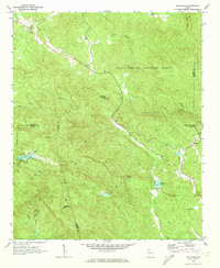 1971 Amicalola1973 Print · USGSNorth Georgia's high country is captured here in the early seventies as small mountain communities remained centered around local churches. Researchers can locate family sites near Little Ebenezer Cem, Antioch Ch, and the settlement of Amicalola.2 unique versions available
 - 1981 Map of Dalton, 1982 Print
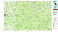 1981 Dalton1982 Print · USGSNorth Georgia and the tristate borderlands are captured in the early eighties as the textile economy of Dalton thrived alongside the expanding Chattahoochee National Forest. Genealogists and hikers can trace the Appalachian Trail through the high country or locate family-named landmarks like Haskins Mill and Carters Mill.
 - 2011 Map of Amicalola, 2011 Print
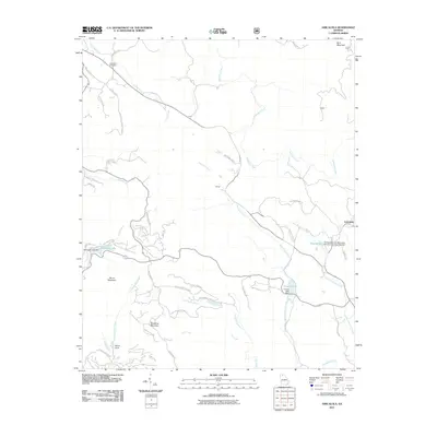 2011 Amicalola2011 Print · USGSDawson County's high ridges and creek valleys are captured here in the early twenty-first century as modern roads navigate old mountain passes. You can trace the headwaters of Amicalola Creek and locate family landmarks like Ebineezer Cemetery or the settlement at Licklog.
 - 2014 Map of Amicalola, 2014 Print
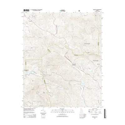 2014 Amicalola2014 Print · USGSThe North Georgia mountains are captured in the early twenty-first century as the borders of Dawson, Gilmer, and Pickens counties meet. Trace local landmarks like Camp Frank D. Merrill and the Ebenezer Baptist Church Cem.
 - 2017 Map of Amicalola, 2017 Print
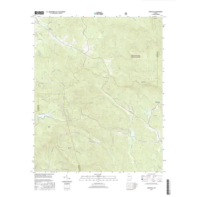 2017 Amicalola2017 Print · USGSThe northern Georgia highlands are shown here in recent years, where the rugged borders of Dawson, Gilmer, and Pickens counties meet. Genealogists and hikers can trace paths to the Ebenezer Baptist Church Cem or follow the waters of Amicalola Cr past Sequoyah Lake.
 - 2020 Map of Amicalola, 2020 Print
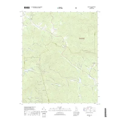 2020 Amicalola2020 Print · USGSDawson County's high-mountain terrain is captured here in the years following the millennium, showing the interplay between protected forest and growing mountain communities. Genealogists and hikers can trace local landmarks like Ebenezer Baptist Church Cem and the trails surrounding Amicalola Mtn.
 - 2024 Map of Amicalola, 2024 Print
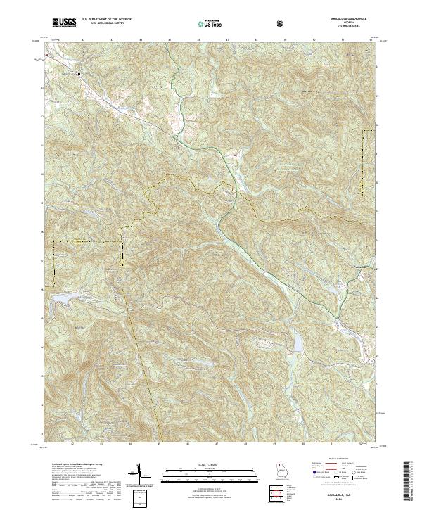 2024 Amicalola2024 Print · USGSThe North Georgia mountains near Amicalola appear here in the modern era, showing the meeting of three counties amidst high peaks. Researchers can locate the Ebenezer Baptist Church Cem and trace the paths of Amicalola Creek or Licklog Creek through the Chattahoochee National Forest.
End of results
Showing maps 1-15 of 15
Top cities near Amicalola
- Jasper historical maps
- Ball Ground historical maps
- Ellijay historical maps
- Nelson historical maps
- Dawsonville historical maps
- East Ellijay historical maps
Frequently asked questions
- What are the different types of historical maps available for Amicalola?
- What is the oldest map of Amicalola?
- Where can I purchase historical maps of Amicalola for my home or office?
- Where can I download high-res historical maps of Amicalola?
- Are there historical topographic maps available for Amicalola?
- Is there historical aerial imagery available for Amicalola?
- Where are historical maps of Amicalola sourced from?