Old Maps of Dougherty County, Georgia
Explore 29 old maps of Dougherty County, spanning from 1953 to today. These high-resolution historic maps reveal how streets, neighborhoods, landmarks, and natural features evolved over time — perfect for genealogy, metal detecting, research, and local history exploration.
What you can do with these maps:
- See how Dougherty County changed over time: Compare historical maps to modern-day views to trace roads, homesites, rail lines & more.
- View detailed metadata: Each map includes creators, publishers, year, scale, and archive source.
- Overlay maps with satellite & LiDAR: Visualize the past alongside modern tools to explore terrain & human change.
- Trusted historical sources: Maps sourced from the USGS, Library of Congress, and other archives.
- Access maps your way: View online, download high-res files, or order prints for personal or research use.
Start exploring old maps of Dougherty County to uncover forgotten places, hidden landmarks, and the deep history beneath your feet.
Dougherty County, GA maps
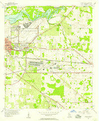
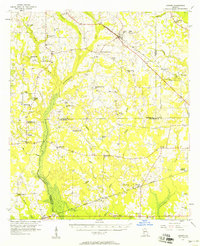
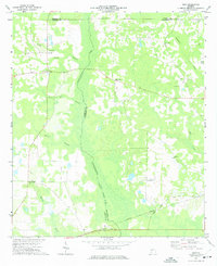
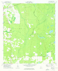
(29)- 1953 Map of Dothan, 1966 Print
 1953 Dothan1966 Print · USGSCovers Dougherty County, including Albany, Dothan, and other nearby areas3 unique versions available
 - 1953 Map of Waycross, 1967 Print
 1953 Waycross1967 Print · USGSCovers Dougherty County, including Tifton, Moultrie, and other nearby areas2 unique versions available
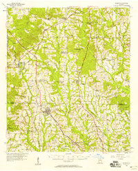
 - 1954 Map of Dothan
 1954 Dothan1954 Print · USGSCovers Dougherty County, including Albany, Dothan, and other nearby areas
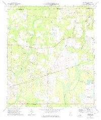
 - 1955 Map of Dothan
 1955 Dothan1955 Print · USGSCovers Dougherty County, including Albany, Dothan, and other nearby areas
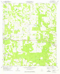
 - 1956 Map of Albany East, 1957 Print
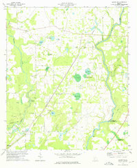
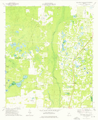
 1956 Albany East1957 Print · USGSCovers Dougherty County, including Albany, Putney, and other nearby areas4 unique versions available
 - 1956 Map of Albany West, 1957 Print
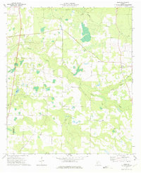
 1956 Albany West1957 Print · USGSCovers Dougherty County, including Albany, Sunny Acres, and other nearby areas4 unique versions available
 - 1956 Map of Baconton, 1957 Print
 1956 Baconton1957 Print · USGSCovers Dougherty County, including Camilla, Putney, and other nearby areas2 unique versions available
 - 1956 Map of Newton, 1958 Print
 1956 Newton1958 Print · USGSCovers Dougherty County, including Newton, Hawkinstown, and other nearby areas
 - 1956 Map of Sylvester, 1958 Print
 1956 Sylvester1958 Print · USGSCovers Dougherty County, including Sylvester, Poulan, and other nearby areas2 unique versions available
 - 1956 Map of Sasser, 1958 Print
 1956 Sasser1958 Print · USGSCovers Dougherty County, including Albany, Sasser, and other nearby areas2 unique versions available
 - 1956 Map of Doerun, 1958 Print
 1956 Doerun1958 Print · USGSCovers Dougherty County, including Doerun, Tempy, and other nearby areas
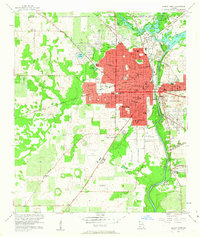
 - 1956 Map of Albany, 1958 Print
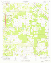
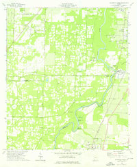
 1956 Albany1958 Print · USGSCovers Dougherty County, including Albany, Putney, and other nearby areas2 unique versions available
 - 1958 Map of Waycross
 1958 Waycross1958 Print · USGSCovers Dougherty County, including Tifton, Moultrie, and other nearby areas2 unique versions available
 - 1973 Map of Pretoria, 1974 Print
 1973 Pretoria1974 Print · USGSCovers Dougherty County, including Albany, Pretoria, and other nearby areas2 unique versions available
 - 1973 Map of Acree, 1975 Print
 1973 Acree1975 Print · USGSCovers Dougherty County, including Red Rock, Acree, and other nearby areas2 unique versions available
 - 1973 Map of Holt, 1975 Print
 1973 Holt1975 Print · USGSCovers Dougherty County, including Oak Hill, Holt, and other nearby areas
 - 1973 Map of Albany NE, 1975 Print
 1973 Albany NE1975 Print · USGSCovers Dougherty County, including Stocks, Chehaw, and other nearby areas2 unique versions available
 - 1973 Map of Doles, 1975 Print
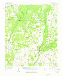
 1973 Doles1975 Print · USGSCovers Dougherty County, including Doles, Worth County, and other nearby areas
 - 1974 Map of Putney, 1976 Print
 1974 Putney1976 Print · USGSCovers Dougherty County, including Putney, Williamsburg, and other nearby areas2 unique versions available
 - 1974 Map of Bermuda, 1976 Print
 1974 Bermuda1976 Print · USGSCovers Dougherty County, including Bermuda, Calhoun County, and other nearby areas
 - 1974 Map of Bridgeboro, 1976 Print
 1974 Bridgeboro1976 Print · USGSCovers Dougherty County, including Bridgeboro, Alfords, and other nearby areas2 unique versions available
 - 1974 Map of Red Store Crossroads, 1976 Print
 1974 Red Store Crossroads1976 Print · USGSCovers Dougherty County, including Red Store Crossroads, Baker County, and other nearby areas
 - 1974 Map of Baconton North, 1976 Print
 1974 Baconton North1976 Print · USGSCovers Dougherty County, including Putney, Baconton, and other nearby areas2 unique versions available
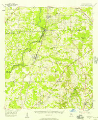
 - 1979 Map of Moultrie, 1980 Print
 1979 Moultrie1980 Print · USGSCovers Dougherty County, including Tifton, Moultrie, and other nearby areas2 unique versions available
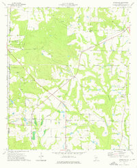
 - 1981 Map of Camilla, 1982 Print
 1981 Camilla1982 Print · USGSCovers Dougherty County, including Camilla, Blakely, and other nearby areas2 unique versions available
Showing maps 1-25 of 29
Top cities of Dougherty County
Frequently asked questions
- What are the different types of historical maps available for Dougherty County?
- What is the oldest map of Dougherty County?
- Where can I purchase historical maps of Dougherty County for my home or office?
- Where can I download high-res historical maps of Dougherty County?
- Are there historical topographic maps available for Dougherty County?
- Is there historical aerial imagery available for Dougherty County?
- Where are historical maps of Dougherty County sourced from?