2000s (21st Century) Maps of Early County, Georgia
Explore 75 historic maps of Early County from the 2000s (21st Century). These maps offer a rare glimpse into what life looked like during the 2000s — showing old roads, neighborhoods, homes, and landmarks that have changed or disappeared over time.
Whether you're researching your family's past, planning a metal detecting trip, or studying how Early County's landscape evolved across the 2000s, these high-resolution maps are a powerful tool for exploring the history of this region.
- Focus on a specific era: All maps on this page are from the 2000s, giving you a focused view of this time period.
- See what’s changed: Compare century-old streets, trails, and buildings to today's modern landscape using overlays and satellite layers.
- Research with precision: Use these maps for genealogy, historical research, land use analysis, or educational projects.
- View, download, or print: Maps are fully viewable online in high resolution, and can be downloaded or printed for your own records.
Start exploring Early County's history through authentic maps from the 2000s. This is your window into the past.
Early County, GA maps
(75)- 2011 Map of Saffold, 2011 Print
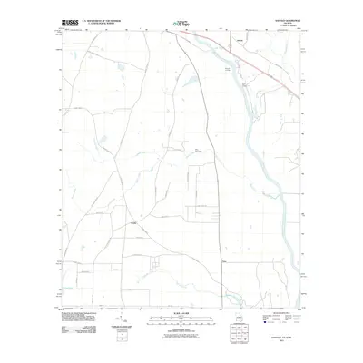 2011 Saffold2011 Print · USGSThe rural borderlands of Alabama and Georgia are captured here just after the first decade of the millennium. Researchers can trace family-named routes and river landmarks like Bryants Landing, the Billy Byrd Dam, and the small settlement at Crosby.
- 2011 Map of Columbia, 2011 Print
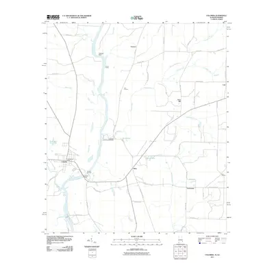 2011 Columbia2011 Print · USGSThe riverfront town of Columbia sits at the heart of this early 21st-century survey of the Alabama-Georgia border. Genealogists and historians can trace the rural landscape near Hilton or locate the landmark Coheelee Creek Covered Bridge and Grier Cemetery.2 unique versions available
- 2011 Map of Fort Gaines, 2011 Print
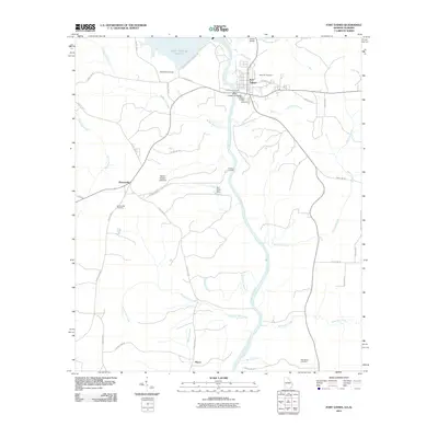 2011 Fort Gaines2011 Print · USGSFort Gaines and the Chattahoochee River borderland are captured here in the early twenty-first century as the river reaches the state line. Genealogists and local historians can locate family sites at Rose Hill Cemetery, the community of Shorterville, and landmarks like the Walter F George Lock and Dam.
- 2011 Map of Gordon, 2011 Print
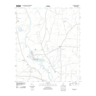 2011 Gordon2011 Print · USGSThe Chattahoochee River corridor at the Alabama-Georgia line remains a vital artery of transport and trade in this 2011 survey. Local researchers can trace family landmarks and river history through Potters Landing, the settlement of Alaga, and Saint Stephens Cemetery.2 unique versions available
- 2011 Map of Columbia NE, 2011 Print
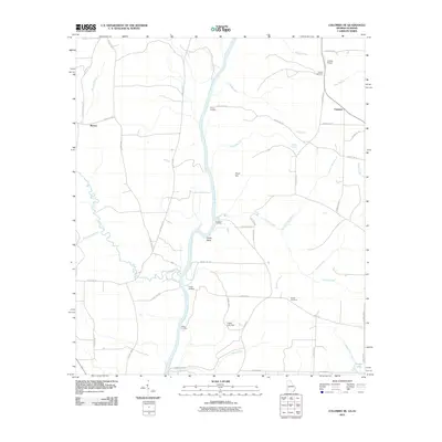 2011 Columbia NE2011 Print · USGSThe Chattahoochee River forms the central spine of this rural region at the Alabama-Georgia border during the early twenty-first century. Genealogists and local historians can trace family ties at Bethel Cemetery, locate the site of Barnes, or explore river landings like Hutchins Landing.
- 2011 Map of Donalsonville West, 2011 Print
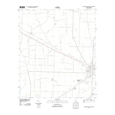 2011 Donalsonville West2011 Print · USGSDonalsonville and the surrounding Seminole County farmland are documented here in the early twenty-first century. Genealogists can trace family-named roads like Reuben Brookins Rd and find local landmarks such as Live Oak Cemetery and Little Hope.
- 2011 Map of Lucile, 2011 Print
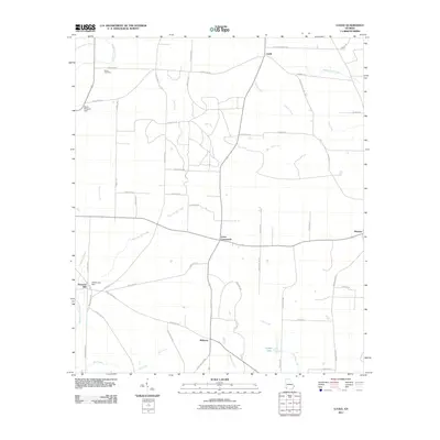 2011 Lucile2011 Print · USGSMiller County remains a landscape of quiet agricultural hubs and creek-side settlements in the early 21st century. Genealogists can trace family landmarks like Green Cemetery or locate the historic sites of Howards Mill and Jones Crossroads.
- 2011 Map of Zetto, 2011 Print
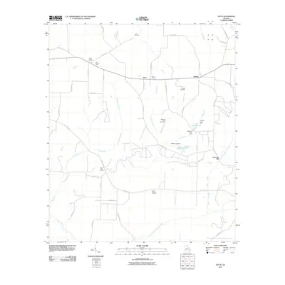 2011 Zetto2011 Print · USGSClay County at the start of the 2010s reveals a quiet agricultural landscape of crossroads and creek-side mills. Researchers can trace the heritage of local families through Harrisons Mill, Zetto, and five distinct burial grounds including Wesley Cemetery.
- 2011 Map of Hentown, 2011 Print
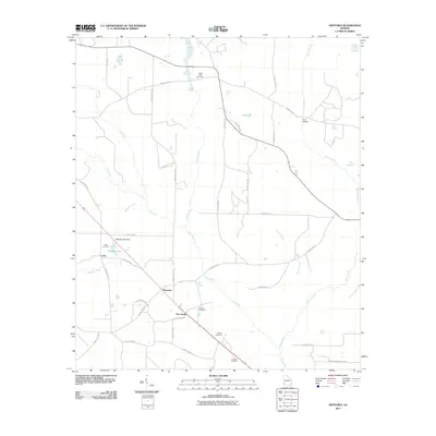 2011 Hentown2011 Print · USGSEarly County in the early twenty-first century remains a landscape of quiet rural crossroads and family homesteads. Genealogists and local historians can trace legacy sites like Liberty Hill Cemetery, Hentown, and the waters of Maddox Lake.
- 2011 Map of Bancroft, 2011 Print
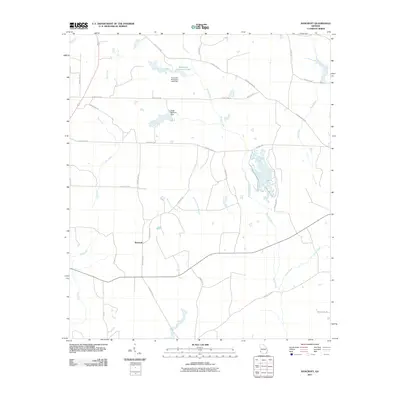 2011 Bancroft2011 Print · USGSThe rural landscape of Early County at the start of the 2010s reveals a region deeply tied to its agricultural and hydrological roots. Genealogists and local historians can trace the roads around Bancroft and locate landmarks like Kolomoki Plantation Lake and the Ralph Balkcom Dam.
- 2011 Map of Bluffton, 2011 Print
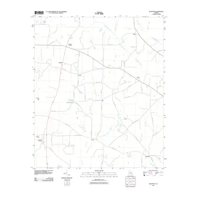 2011 Bluffton2011 Print · USGSThis Southwest Georgia landscape in the early twenty-first century reveals a deeply rooted rural community organized around small settlements and creek drainages. Researchers can locate family landmarks such as Vilulah Cemetery, Suttons Corner, and the waters of Spring Creek.
- 2011 Map of Arlington, 2011 Print
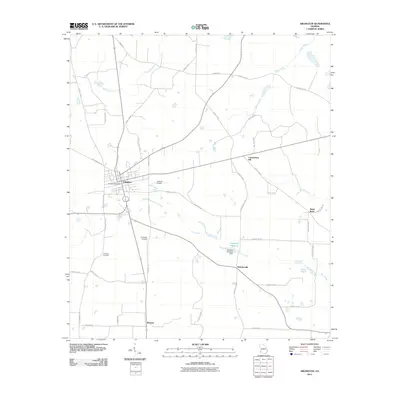 2011 Arlington2011 Print · USGSArlington and its surrounding rural hamlets are captured here at the start of the 2010s, revealing a landscape of South Georgia farmland and creek-side settlements. Researchers can locate the Timmons Cemetery, trace the waters of Sheffield Millpond, and explore the layout of Rowena and Nicholasville.
- 2011 Map of Blakely South, 2011 Print
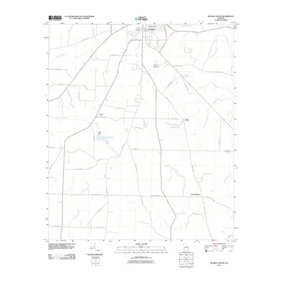 2011 Blakely South2011 Print · USGSEarly County agriculture and woodlands are documented here during the early twenty-first century as the landscape transitions south of the county seat. Researchers can trace rural property lines and water features such as Bridges Lake, Centerville, and the Blakely Cemetery.
- 2011 Map of Damascus, 2011 Print
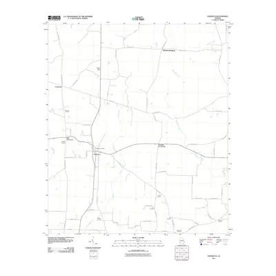 2011 Damascus2011 Print · USGSEarly County agriculture and small-town life define this Georgia landscape in the early twenty-first century. Researchers can locate numerous family-named burial sites like Tabb Cemetery and Gross Cemetery alongside the distinct sites of Damascus and Old Damascus.
- 2011 Map of Blakely North, 2011 Print
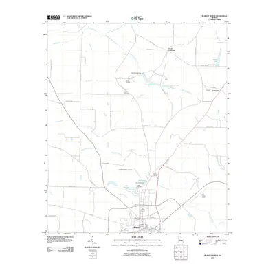 2011 Blakely North2011 Print · USGSThe city of Blakely and its surrounding Early County farmland are captured here in the early twenty-first century. Researchers can trace family roots through several local burial grounds like Mount Hope Cemetery and Hayes Cemetery or locate landmarks like Camp Hicita.
- 2014 Map of Hentown, 2014 Print
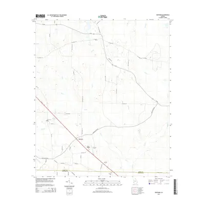 2014 Hentown2014 Print · USGSEarly County and Miller County are mapped in the early 2010s, showing a Georgia landscape defined by small hamlets and family cemeteries. You can trace local roots through burial sites like George Cem and Liberty Hill Cem or find old crossroads at Hentown and Cuba.
- 2014 Map of Zetto, 2014 Print
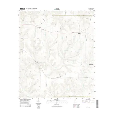 2014 Zetto2014 Print · USGSClay County and the Randolph border are captured here in the early twenty-first century, showing a rural landscape defined by its waterways and family landholdings. Researchers can locate several historic burial grounds like M Zion Cem and landmarks such as Harrisons Mill or the Clay Lookout Tower.
- 2014 Map of Lucile, 2014 Print
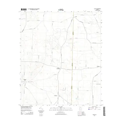 2014 Lucile2014 Print · USGSThe agricultural borderlands of Early and Miller counties are captured here in the early twenty-first century. Genealogists can trace family footprints near Lucile and Jones Crossroads or locate the Green Cem and historical sites like Howards Mill.
- 2014 Map of Fort Gaines, 2014 Print
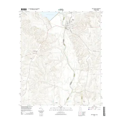 2014 Fort Gaines2014 Print · USGSThe Chattahoochee River valley and the borderlands of Georgia and Alabama are captured here in the early twenty-first century. Genealogists and local historians can trace burial sites like Rose Hill Cem and Shorterville Cem or the river crossings at Killen Bridge.
- 2014 Map of Columbia NE, 2014 Print
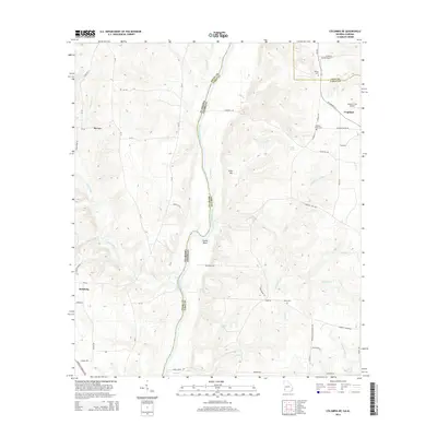 2014 Columbia NE2014 Print · USGSThe Alabama and Georgia state line meets at the winding Chattahoochee River in the mid-2010s. Researchers can locate family landmarks such as Sardis Cemetery or trace the rural landscape around Haleburg and the small airfield at Coates Airport.
- 2014 Map of Saffold, 2014 Print
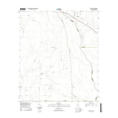 2014 Saffold2014 Print · USGSHouston County, Alabama, and Early County, Georgia, meet along the banks of the river in this recent survey. Local researchers can trace the roads and waterways around Crosby and Lucy or locate the Friendship Cem and Long Pond.
- 2014 Map of Donalsonville West, 2014 Print
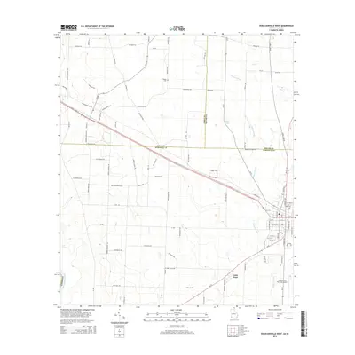 2014 Donalsonville West2014 Print · USGSDonalsonville and the banks of the Chattahoochee River are shown here in the mid-2010s, capturing the rural character of the Georgia-Alabama border. Researchers can find family-named landmarks like Pot LIKKER Ln and Hodges Cem alongside the settlement at Little Hope.
- 2014 Map of Bancroft, 2014 Print
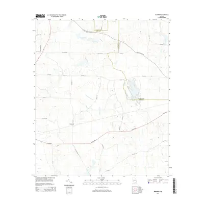 2014 Bancroft2014 Print · USGSBancroft and the rural borderlands of Early and Calhoun counties are captured here in the early twenty-first century. Genealogists and local historians can trace family-named routes like Giles-Hightower Rd and landmarks such as Kolomoki Plantation Lake.
- 2014 Map of Arlington, 2014 Print
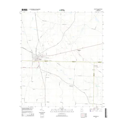 2014 Arlington2014 Print · USGSSouthwest Georgia's agricultural heartland is documented here in the early 2010s, centered on the historic town of Arlington. Local historians can trace family roots near Timmons Cem or explore rural crossroads like Nicholasville and Jones Spur.
- 2014 Map of Blakely North, 2014 Print
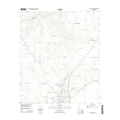 2014 Blakely North2014 Print · USGSEarly County comes into focus in this mid-2010s survey, showing the town of Blakely and its surrounding rural cemetery and lake systems. Genealogists can trace family names at Mt Hope Cemetery or Colomokee Cemetery and locate the historic Indian Mounds.
Showing maps 1-25 of 75
Top cities of Early County
Frequently asked questions
- What are the different types of historical maps available for Early County?
- What is the oldest map of Early County?
- Where can I purchase historical maps of Early County for my home or office?
- Where can I download high-res historical maps of Early County?
- Are there historical topographic maps available for Early County?
- Is there historical aerial imagery available for Early County?
- Where are historical maps of Early County sourced from?