2000s (21st Century) Maps of Blakely, Georgia
Explore 10 historic maps of Blakely from the 2000s (21st Century). These maps offer a rare glimpse into what life looked like during the 2000s — showing old roads, neighborhoods, homes, and landmarks that have changed or disappeared over time.
Whether you're researching your family's past, planning a metal detecting trip, or studying how Blakely's landscape evolved across the 2000s, these high-resolution maps are a powerful tool for exploring the history of this region.
- Focus on a specific era: All maps on this page are from the 2000s, giving you a focused view of this time period.
- See what’s changed: Compare century-old streets, trails, and buildings to today's modern landscape using overlays and satellite layers.
- Research with precision: Use these maps for genealogy, historical research, land use analysis, or educational projects.
- View, download, or print: Maps are fully viewable online in high resolution, and can be downloaded or printed for your own records.
Start exploring Blakely's history through authentic maps from the 2000s. This is your window into the past.
Blakely, GA maps
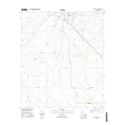
(10)- 2011 Map of Blakely South, 2011 Print
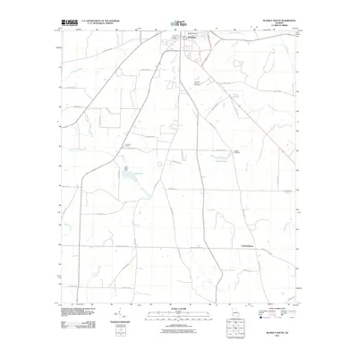 2011 Blakely South2011 Print · USGSCovers Blakely, including Centerville, Miller County, and other nearby areas
 - 2011 Map of Blakely North, 2011 Print
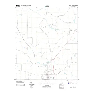 2011 Blakely North2011 Print · USGSCovers Blakely, including Colomokee, Ferrell Crossroads, and other nearby areas
 - 2014 Map of Blakely North, 2014 Print
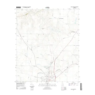 2014 Blakely North2014 Print · USGSCovers Blakely, including Colomokee, Ferrell Crossroads, and other nearby areas
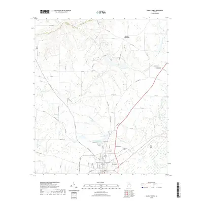
 - 2014 Map of Blakely South, 2014 Print
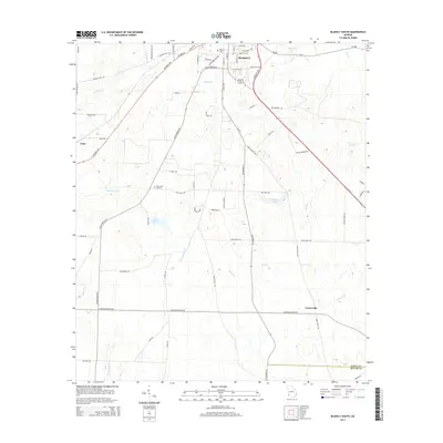 2014 Blakely South2014 Print · USGSCovers Blakely, including Centerville, Miller County, and other nearby areas
 - 2017 Map of Blakely South, 2017 Print
 2017 Blakely South2017 Print · USGSCovers Blakely, including Centerville, Miller County, and other nearby areas
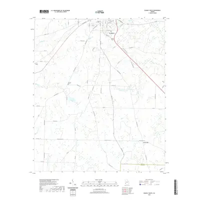
 - 2017 Map of Blakely North, 2017 Print
 2017 Blakely North2017 Print · USGSCovers Blakely, including Colomokee, Ferrell Crossroads, and other nearby areas
 - 2020 Map of Blakely North, 2020 Print
 2020 Blakely North2020 Print · USGSCovers Blakely, including Colomokee, Ferrell Crossroads, and other nearby areas
 - 2020 Map of Blakely South, 2020 Print
 2020 Blakely South2020 Print · USGSCovers Blakely, including Centerville, Miller County, and other nearby areas
 - 2024 Map of Blakely North, 2024 Print
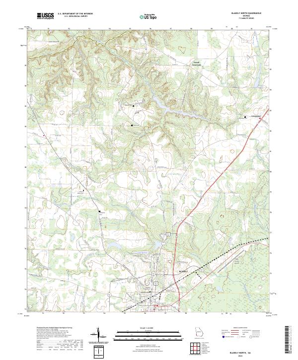 2024 Blakely North2024 Print · USGSEarly County, Georgia, remains a landscape of established family farms and small communities north of the county seat. Researchers can trace ancestral roots through numerous local burial grounds such as Mercier Cem and Odom - White Cem or follow the winding Kolomoki Creek.
 - 2024 Map of Blakely South, 2024 Print
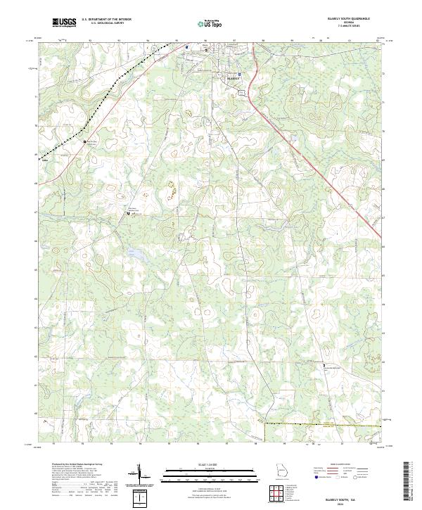 2024 Blakely South2024 Print · USGSThe area surrounding the city of Blakely is documented here in its modern rural character, showing the intersection of Early and Miller counties. Genealogists can trace family landmarks like New Prospect Church Cem, Pine Lawn Gardens Cem, and the settlement of Luke.
End of results
Showing maps 1-10 of 10
Top cities near Blakely
- Colquitt historical maps
- Arlington historical maps
- Edison historical maps
- Fort Gaines historical maps
- Columbia historical maps
- Gordon historical maps
See more
Frequently asked questions
- What are the different types of historical maps available for Blakely?
- What is the oldest map of Blakely?
- Where can I purchase historical maps of Blakely for my home or office?
- Where can I download high-res historical maps of Blakely?
- Are there historical topographic maps available for Blakely?
- Is there historical aerial imagery available for Blakely?
- Where are historical maps of Blakely sourced from?