Old Maps of Blakely, Georgia for Academic Research
Study the evolution of Blakely with 16 high-resolution historic maps. Whether you're teaching, researching, or modeling changes in land use, these maps provide essential visual documentation of urban, environmental, and geographic change.
- Analyze long-term change: Track patterns in development, transportation, and natural features.
- Ideal for environmental or urban studies: Support academic projects with primary historical map data.
- Use in the classroom or lab: Educators and researchers rely on these maps to bring historical context to life.
These maps are a powerful tool for teaching, research, and visualizing how Blakely has changed over the decades.
Blakely, GA maps
(16)- 1953 Map of Dothan, 1966 Print
 1953 Dothan1966 Print · USGSSoutheast Alabama and Southwest Georgia are captured during a period of massive hydraulic and military expansion in the mid-fifties. Genealogists and historians can trace rural landmarks like Antioch Church and School, the Andrew Jackson Monument, and the early footprint of Fort Rucker Military Reservation.3 unique versions available
 - 1954 Map of Dothan
 1954 Dothan1954 Print · USGSSoutheast Alabama and Southwest Georgia are seen here in the mid-fifties, during a decade of military expansion and rural transition. Genealogists can trace the location of country schools like Little Zion School or the grounds of Kolomoki Mounds State Park.
 - 1955 Map of Dothan
 1955 Dothan1955 Print · USGSSoutheast Alabama and Southwest Georgia are captured here in the mid-fifties, showing a landscape of river-port history and growing military bases. Researchers can trace rural life via the Andrew Jackson Monument, Bauxite mines, and the Central of Georgia RR.
 - 1973 Map of Blakely North, 1975 Print
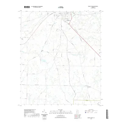
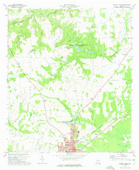 1973 Blakely North1975 Print · USGSEarly County in the early seventies shows a landscape where ancient history meets modern rail and road networks. Genealogists can trace family roots at St Matthews Ch, Mecier Cem, or near the significant Indian Mounds of the state park.
 - 1973 Map of Blakely South, 1975 Print
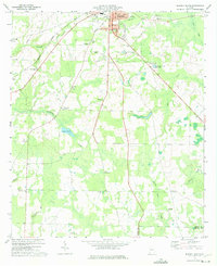 1973 Blakely South1975 Print · USGSEarly County in the early seventies shows the southern expansion of Blakely alongside established rural crossroads. Researchers can trace family history through numerous landmarks like Jerusalem Ch, St Maryland Ch, and the crossing at Susian Ford.
 - 1981 Map of Camilla, 1982 Print
 1981 Camilla1982 Print · USGSSouthwest Georgia in the early 1980s is defined by the winding Flint River and the ancient legacy of Kolomoki Mounds State Park. Researchers can trace the agricultural and rail economy through junctions like Blakely, Pelham, and the rail lines of the Central of Georgia.2 unique versions available
 - 2011 Map of Blakely South, 2011 Print
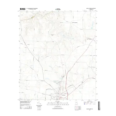
 2011 Blakely South2011 Print · USGSCovers Blakely, including Centerville, Miller County, and other nearby areas
 - 2011 Map of Blakely North, 2011 Print
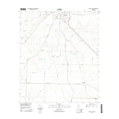
 2011 Blakely North2011 Print · USGSCovers Blakely, including Colomokee, Ferrell Crossroads, and other nearby areas
 - 2014 Map of Blakely North, 2014 Print
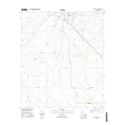
 2014 Blakely North2014 Print · USGSCovers Blakely, including Colomokee, Ferrell Crossroads, and other nearby areas
 - 2014 Map of Blakely South, 2014 Print
 2014 Blakely South2014 Print · USGSCovers Blakely, including Centerville, Miller County, and other nearby areas
 - 2017 Map of Blakely South, 2017 Print
 2017 Blakely South2017 Print · USGSCovers Blakely, including Centerville, Miller County, and other nearby areas
 - 2017 Map of Blakely North, 2017 Print
 2017 Blakely North2017 Print · USGSCovers Blakely, including Colomokee, Ferrell Crossroads, and other nearby areas
 - 2020 Map of Blakely North, 2020 Print
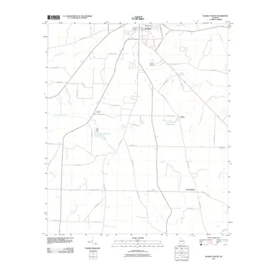
 2020 Blakely North2020 Print · USGSCovers Blakely, including Colomokee, Ferrell Crossroads, and other nearby areas
 - 2020 Map of Blakely South, 2020 Print
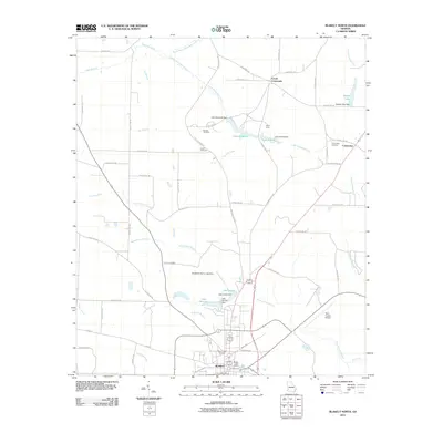
 2020 Blakely South2020 Print · USGSCovers Blakely, including Centerville, Miller County, and other nearby areas
 - 2024 Map of Blakely North, 2024 Print
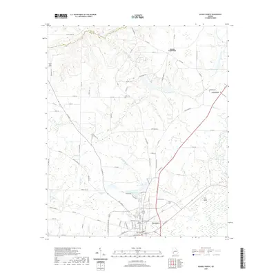
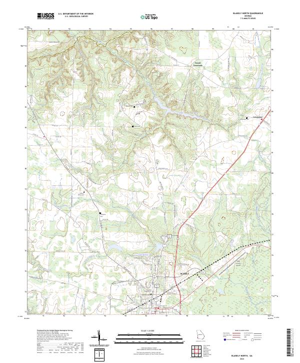 2024 Blakely North2024 Print · USGSEarly County, Georgia, remains a landscape of established family farms and small communities north of the county seat. Researchers can trace ancestral roots through numerous local burial grounds such as Mercier Cem and Odom - White Cem or follow the winding Kolomoki Creek.
 - 2024 Map of Blakely South, 2024 Print
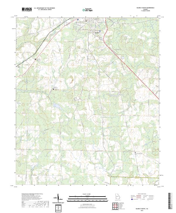 2024 Blakely South2024 Print · USGSThe area surrounding the city of Blakely is documented here in its modern rural character, showing the intersection of Early and Miller counties. Genealogists can trace family landmarks like New Prospect Church Cem, Pine Lawn Gardens Cem, and the settlement of Luke.
End of results
Showing maps 1-16 of 16
Top cities near Blakely
- Colquitt historical maps
- Arlington historical maps
- Edison historical maps
- Fort Gaines historical maps
- Columbia historical maps
- Gordon historical maps
See more
Frequently asked questions
- What are the different types of historical maps available for Blakely?
- What is the oldest map of Blakely?
- Where can I purchase historical maps of Blakely for my home or office?
- Where can I download high-res historical maps of Blakely?
- Are there historical topographic maps available for Blakely?
- Is there historical aerial imagery available for Blakely?
- Where are historical maps of Blakely sourced from?