Old Maps of Nunez, Georgia
Explore 18 old maps of Nunez, spanning from 1957 to today. These high-resolution historic maps reveal how streets, neighborhoods, landmarks, and natural features evolved over time — perfect for genealogy, metal detecting, research, and local history exploration.
What you can do with these maps:
- See how Nunez changed over time: Compare historical maps to modern-day views to trace roads, homesites, rail lines & more.
- View detailed metadata: Each map includes creators, publishers, year, scale, and archive source.
- Overlay maps with satellite & LiDAR: Visualize the past alongside modern tools to explore terrain & human change.
- Trusted historical sources: Maps sourced from the USGS, Library of Congress, and other archives.
- Access maps your way: View online, download high-res files, or order prints for personal or research use.
Start exploring old maps of Nunez to uncover forgotten places, hidden landmarks, and the deep history beneath your feet.
Nunez, GA maps
(18)- 1957 Map of Macon
 1957 Macon1957 Print · USGSMid-century Georgia comes into focus as the river-and-rail economy shifts toward a new era of aviation and highway travel. Trace family roots and vanished landmarks across the Ocmulgee River valley from Macon to the onion fields of Vidalia.
 - 1958 Map of Macon
 1958 Macon1958 Print · USGSMiddle Georgia during the late fifties shows the post-war expansion of Warner Robins alongside the deep-rooted rail hubs of the Central of Georgia line. Researchers can trace the river-bound boundaries of numerous counties and find local landmarks like Veterans Memorial Hospital and Robins AFB.
 - 1964 Map of Macon
 1964 Macon1964 Print · USGSCentral Georgia in the mid-sixties is defined by its major river valleys and a booming military presence. Genealogists and historians can trace the growth of Warner Robins near Robins AFB or locate smaller rural junctions like Allentown and Jeffersonville along the historic Southern railroad lines.2 unique versions available
 - 1970 Map of Nunez, 1973 Print
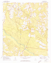 1970 Nunez1973 Print · USGSEmanuel County in the early seventies shows a rural Georgia landscape shaped by the Ohoopee River and the Central of Georgia rail line. Genealogists can trace family roots at Slater Cem and Youmans Cem, or locate the old Lexsy Sch and Lombard settlement.3 unique versions available
 - 1971 Map of Swainsboro, 1973 Print
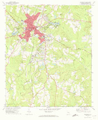 1971 Swainsboro1973 Print · USGSSwainsboro emerged as a bustling regional hub in the early seventies, centered on a critical intersection of rail and road. Local historians can trace the development of the Emanuel County Airport, find country landmarks like Smith Grove Ch, or explore the grounds of Yam Grandy State Park.
 - 1979 Map of Vidalia, 1980 Print
 1979 Vidalia1980 Print · USGSSoutheast Georgia in the late 1970s is a landscape of river-bend settlements and crossing rail lines. Researchers can trace family roots and land patterns through several towns like Vidalia, Soperton, and Mount Vernon, or locate regional landmarks like the State Prison.2 unique versions available
 - 1981 Map of Dublin
 1981 Dublin1981 Print · USGSEast Georgia in the early eighties shows a landscape defined by its river basins and a persistent rail network. Genealogists and historians can trace family roots through historic town centers like Sandersville, Swainsboro, and Louisville or follow the Old Railroad Grade.
 - 1988 Map of Macon, 1989 Print
 1988 Macon1989 Print · USGSCentral Georgia is captured during the late eighties, showing the expansive river systems and growing urban hubs of the regional interior. Genealogists and historians can trace the paths of the Central of Georgia Railroad and locate communities like Warner Robbins, Dublin, and Sandersville.
 - 2011 Map of Nunez, 2011 Print
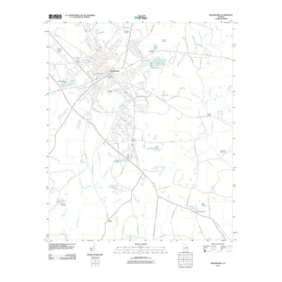
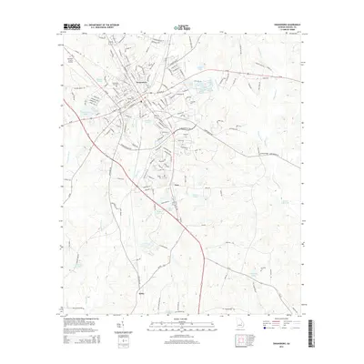
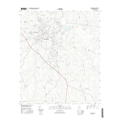
 2011 Nunez2011 Print · USGSCovers Nunez, including Oak Park, Lombard, and other nearby areas
 - 2011 Map of Swainsboro, 2011 Print
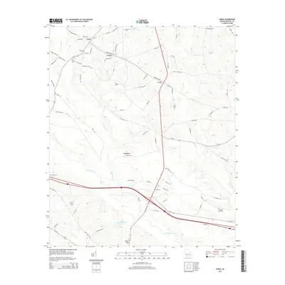
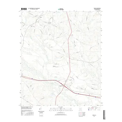
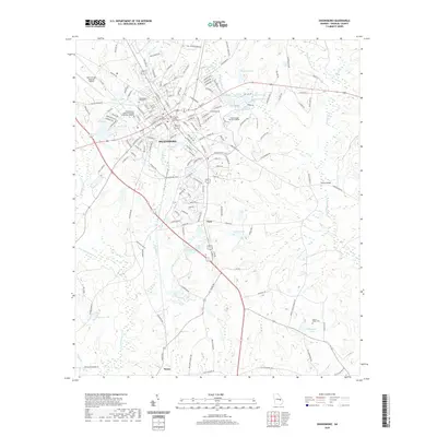
 2011 Swainsboro2011 Print · USGSCovers Nunez, including Swainsboro, Gary, and other nearby areas
 - 2014 Map of Swainsboro, 2014 Print
 2014 Swainsboro2014 Print · USGSCovers Nunez, including Swainsboro, Gary, and other nearby areas
 - 2014 Map of Nunez, 2014 Print
 2014 Nunez2014 Print · USGSCovers Nunez, including Oak Park, Lombard, and other nearby areas
 - 2017 Map of Nunez, 2017 Print
 2017 Nunez2017 Print · USGSCovers Nunez, including Oak Park, Lombard, and other nearby areas
 - 2017 Map of Swainsboro, 2017 Print
 2017 Swainsboro2017 Print · USGSCovers Nunez, including Swainsboro, Gary, and other nearby areas
 - 2020 Map of Swainsboro, 2020 Print
 2020 Swainsboro2020 Print · USGSCovers Nunez, including Swainsboro, Gary, and other nearby areas
 - 2020 Map of Nunez, 2020 Print
 2020 Nunez2020 Print · USGSCovers Nunez, including Oak Park, Lombard, and other nearby areas
 - 2024 Map of Swainsboro, 2024 Print
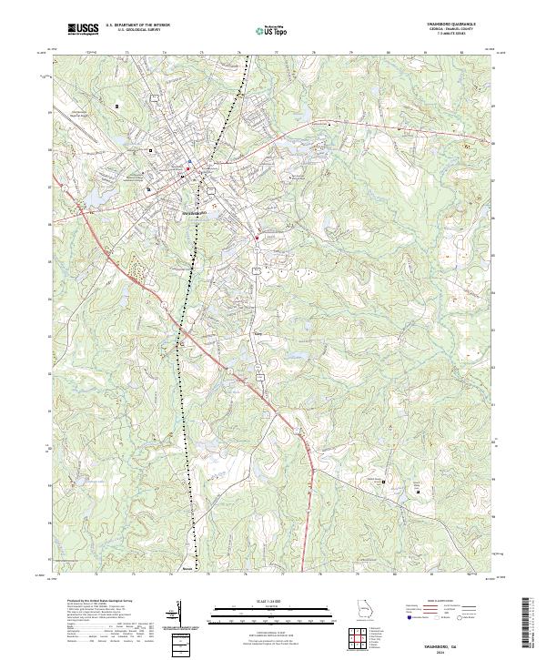 2024 Swainsboro2024 Print · USGSEmanuel County shows its modern character in this recent survey of its county seat and southern reaches. Local researchers can trace family landmarks and community sites from Swainsboro down to Nunez, including Mount Shady Cem and Riner Lake.
 - 2024 Map of Nunez, 2024 Print
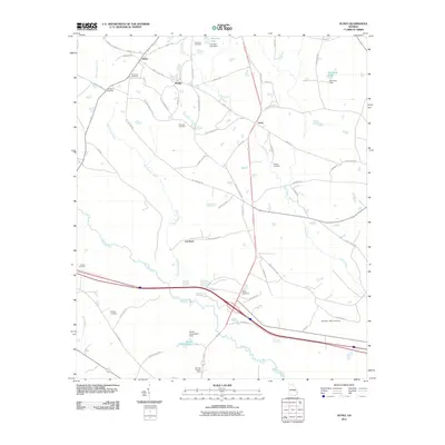
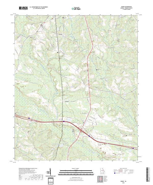 2024 Nunez2024 Print · USGSEmanuel County's rural heartland is documented here in the early twenty-first century, showing the small settlements of Nunez and Oak Park. Researchers can trace family ties through dozens of landmarks like Youmans Cem, Kirby Cem, and Gainer Corporation Lake.
End of results
Showing maps 1-18 of 18
Top cities near Nunez
- Swainsboro historical maps
- Soperton historical maps
- Twin City historical maps
- Stillmore historical maps
- Oak Park historical maps
- Cobbtown historical maps
See more
Frequently asked questions
- What are the different types of historical maps available for Nunez?
- What is the oldest map of Nunez?
- Where can I purchase historical maps of Nunez for my home or office?
- Where can I download high-res historical maps of Nunez?
- Are there historical topographic maps available for Nunez?
- Is there historical aerial imagery available for Nunez?
- Where are historical maps of Nunez sourced from?