Old Maps of Blue Ridge, Georgia for Hiking & Exploration
Hike through history with 28 historic maps of Blue Ridge. Explore old trails, ghost towns, and forgotten backroads — perfect for outdoor adventurers and local explorers.
- Rediscover forgotten places: Map out old mining camps, roads, and footpaths that no longer exist on modern maps.
- Layer with modern tools: Combine with LiDAR or satellite views to plan hikes through historical terrain.
- Made for exploration: Popular among hikers, overlanders, and local history lovers.
Use these maps to find adventure and explore the hidden past of Blue Ridge.
Blue Ridge, GA maps
(28)- 1888 Map of Ellijay
 1888 Ellijay1888 Print · USGSNorth Georgia in the late 1880s was a land of high peaks and emerging rail lines as the mountains were first being methodically surveyed. You can trace the Marietta and North Georgia Railroad through Blue Ridge and locate vanished stops like Vanzants Store or the rural community of Cherry Log.
 - 1892 Map of Ellijay
 1892 Ellijay1892 Print · USGSNorth Georgia's mountain communities were primarily connected by river valleys and the winding Marietta and North Georgia Railroad in the late nineteenth century. Genealogists can trace early homesteads and centers of trade like Vanzant's Store, Mineral Bluff, and Cherry Log.
 - 1898 Map of Ellijay
 1898 Ellijay1898 Print · USGSNorth Georgia’s mountain country is captured here in the late nineteenth century, showing the early development of Gilmer and Fannin counties. Genealogists can trace family homesteads near old river crossings like Centers Ferry and settlements such as Mineral Bluff and Whitepath.2 unique versions available
 - 1911 Map of Ellijay
 1911 Ellijay1911 Print · USGSNorth Georgia and the Tennessee border are captured here at the turn of the century, showing a mountain landscape of river ferries and early rail. Genealogists can locate family landmarks like Higdons Store, the Pisgah church, or crossings at Bakers Ferry and Shallow Ford.4 unique versions available
 - 1935 Map of Mineral Bluff
 1935 Mineral Bluff1935 Print · USGSThe tri-state border region of Georgia, Tennessee, and North Carolina comes alive in the mid-1930s as industry and infrastructure reshape the mountain landscape. Genealogists can locate family landmarks like Paintertown Sch, Shady Grove Ch, and the homes near Mineral Bluff.
 - 1935 Map of Lake Toccoa
 1935 Lake Toccoa1935 Print · USGSNorth Georgia’s mountain and river life is preserved here during the mid-1930s transition into the hydroelectric era. Researchers can trace family roots through the numerous rural schools and churches, such as Stanley Creek Sch, Union Ch, and landmarks like Stanley Mill.
 - 1941 Map of Mineral Bluff, 1956 Print
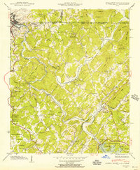 1941 Mineral Bluff1956 Print · USGSThe tri-state borderlands of Georgia, Tennessee, and North Carolina come alive in the early 1940s as the river-and-rail economy hums near Mineral Bluff. Genealogists and researchers can locate the Galloway Cem, trace the Louisville and Nashville Railroad, and find the CCC Camp 3467 TVA 29 site.4 unique versions available
 - 1943 Map of Mineral Bluff
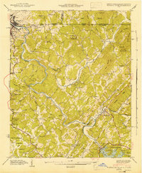 1943 Mineral Bluff1943 Print · USGSFannin County and the tri-state border region are shown here in the early 1940s, just after the completion of the Blue Ridge Dam. Researchers can trace family history through sites like Galloway Cem or follow the Louisville and Nashville tracks through Mineral Bluff.
 - 1946 Map of Blue Ridge, 1960 Print
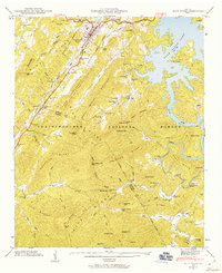 1946 Blue Ridge1960 Print · USGSFannin and Gilmer Counties are captured here shortly after the war, showing the mountain communities of the Chattahoochee National Forest before modern expansion. Researchers can trace the roots of local families through the many rural landmarks like Cherrylog Church, Ballew Mill, and Snake Nation School.3 unique versions available
 - 1947 Map of Lake Toccoa
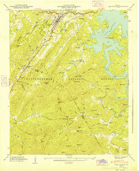 1947 Lake Toccoa1947 Print · USGSFannin and Gilmer counties are captured here shortly after the war, showing the mountain communities and logging routes of North Georgia. Researchers can trace family sites like Antioch Cemetery, find old industrial locations including Greens Mill, or locate the historic Shallowford Bridge.2 unique versions available
 - 1955 Map of Rome
 1955 Rome1955 Print · USGSThe tri-state borderlands of Georgia, Alabama, and Tennessee appear in the mid-fifties as a landscape of ridge-and-valley industry and river navigation. Genealogists can trace family footprints near Chattanooga, the iron works of Gadsden, and textile towns like Trion or Summerville.
 - 1958 Map of Rome, 1966 Print
 1958 Rome1966 Print · USGSNorthwest Georgia and neighboring Tennessee and Alabama are captured here in the late fifties, showcasing a landscape of high ridges and river valleys. Researchers can trace historic rail lines like the Seaboard Air Line RR and explore the bounds of Cloudland Canyon State Park or Fort Oglethorpe.3 unique versions available
 - 1961 Map of Rome
 1961 Rome1961 Print · USGSNorthwest Georgia and neighboring Tennessee and Alabama are shown here at a moment of significant mid-century growth. Researchers can trace the rail networks of the Central of Georgia or locate landmarks within Chickamauga and Chattanooga Nat Military Park.
 - 1963 Map of Rome
 1963 Rome1963 Print · USGSThe tri-state corner of Georgia, Alabama, and Tennessee is captured here during a period of massive reservoir expansion and post-war growth. Genealogists and historians can trace the rail corridors of the Southern Ry or locate landmarks like Fort Oglethorpe and Cloudland Canyon State Park.
 - 1981 Map of Dalton, 1982 Print
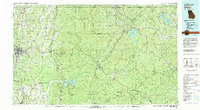 1981 Dalton1982 Print · USGSNorth Georgia and the tristate borderlands are captured in the early eighties as the textile economy of Dalton thrived alongside the expanding Chattahoochee National Forest. Genealogists and hikers can trace the Appalachian Trail through the high country or locate family-named landmarks like Haskins Mill and Carters Mill.
 - 1988 Map of Blue Ridge
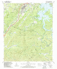 1988 Blue Ridge1988 Print · USGSBlue Ridge and the surrounding North Georgia mountains are documented here in the late eighties, just before modern development expanded. Genealogists and historians can trace family locations through Chastain Mem Park Cem, Cherry Log, and small rural churches like Union Hill Ch.2 unique versions available
 - 1988 Map of Mineral Bluff
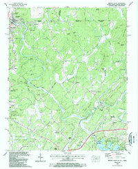 1988 Mineral Bluff1988 Print · USGSThe tri-state border country of Georgia, Tennessee, and North Carolina is captured here in the late eighties, centered on the river-and-rail corridor. Genealogists can trace family connections at Hothouse Cem, Pantertown, and the New River Ch.
 - 1999 Map of Mineral Bluff, 2001 Print
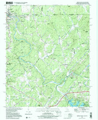 1999 Mineral Bluff2001 Print · USGSThe Georgia and Tennessee borderlands come alive in this late-century survey of the Toccoa River valley. Genealogists can trace family names through numerous rural landmarks like Douthit Cem, Mineral Bluff, and the riverside community of McCaysville.
 - 2011 Map of Blue Ridge, 2011 Print
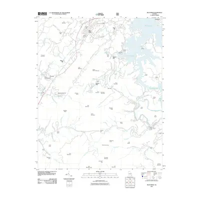 2011 Blue Ridge2011 Print · USGSNorth Georgia’s mountain landscape is captured here in the early twenty-first century as Blue Ridge Lake winds through the hills. Researchers can locate historic mill sites like Greens Mill and old family burial grounds including Antioch Cemetery and Padena Cemetery.
 - 2011 Map of Mineral Bluff, 2011 Print
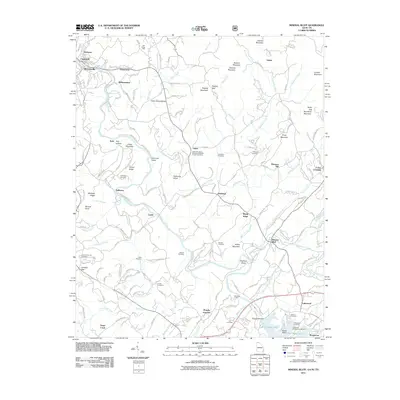 2011 Mineral Bluff2011 Print · USGSNear the Georgia-Tennessee border in the early 2000s, the Toccoa River valley connects industrial centers with quiet mountain hollows. Genealogists and historians can locate legacy sites like CCC Camp 3467, the old Benchleg Ford, and Salem Number 2 Missionary Baptist Church Cemetery.
 - 2014 Map of Blue Ridge, 2014 Print
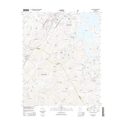 2014 Blue Ridge2014 Print · USGSBlue Ridge and the surrounding North Georgia mountains are documented here in the early twenty-first century as the landscape balances forest conservation and town growth. Researchers can locate family sites at Antioch Cem, trace old industrial sites like Greens Mill, or find the crossing at Shallow Ford Bridge.
 - 2014 Map of Mineral Bluff, 2014 Print
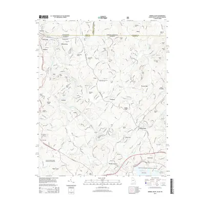 2014 Mineral Bluff2014 Print · USGSMcCaysville and the Fannin County borderlands are shown here in the modern era at the tri-state junction of Georgia, Tennessee, and North Carolina. Researchers can trace historic family burial sites like Hensley Cem or follow the path of the L & N RR through Mineral Bluff.
 - 2017 Map of Mineral Bluff, 2017 Print
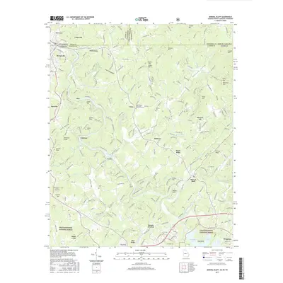 2017 Mineral Bluff2017 Print · USGSThe Georgia-Tennessee-North Carolina border country comes alive in this 2017 survey of the Toccoa River valley. Local historians can trace dozens of family landmarks and rural institutions, from Galloway Cem and Weaver Cem to the Salem Number 2 Missionary Baptist Church.
 - 2017 Map of Blue Ridge, 2017 Print
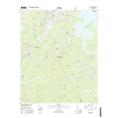 2017 Blue Ridge2017 Print · USGSNorth Georgia’s mountain and lake country is captured here during a period of modern growth and forest conservation. You can trace early industry and family lineages through sites like Stewart Mill, Antioch Cemetery, and the historic railroad tracks in Blue Ridge.
 - 2020 Map of Blue Ridge, 2020 Print
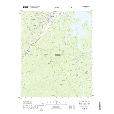 2020 Blue Ridge2020 Print · USGSBlue Ridge and the surrounding Fannin County highlands are detailed here during a period of modern growth and forest conservation. Researchers can locate numerous family-named landmarks and historical sites, including Elrod Mill, Antioch Cem, and the Fannin County Courthouse.
Showing maps 1-25 of 28
Top cities near Blue Ridge
- Ellijay historical maps
- McCaysville historical maps
- East Ellijay historical maps
- Copperhill historical maps
- Ducktown historical maps
- Morganton historical maps
Frequently asked questions
- What are the different types of historical maps available for Blue Ridge?
- What is the oldest map of Blue Ridge?
- Where can I purchase historical maps of Blue Ridge for my home or office?
- Where can I download high-res historical maps of Blue Ridge?
- Are there historical topographic maps available for Blue Ridge?
- Is there historical aerial imagery available for Blue Ridge?
- Where are historical maps of Blue Ridge sourced from?