Old Maps of Peachtree City, Georgia for Hiking & Exploration
Hike through history with these historic maps of Peachtree City. Explore old trails, ghost towns, and forgotten backroads — perfect for outdoor adventurers and local explorers.
- Rediscover forgotten places: Map out old mining camps, roads, and footpaths that no longer exist on modern maps.
- Layer with modern tools: Combine with LiDAR or satellite views to plan hikes through historical terrain.
- Made for exploration: Popular among hikers, overlanders, and local history lovers.
Use these maps to find adventure and explore the hidden past of Peachtree City.
Peachtree City, GA maps
- 1953 Map of Atlanta, 1965 Print
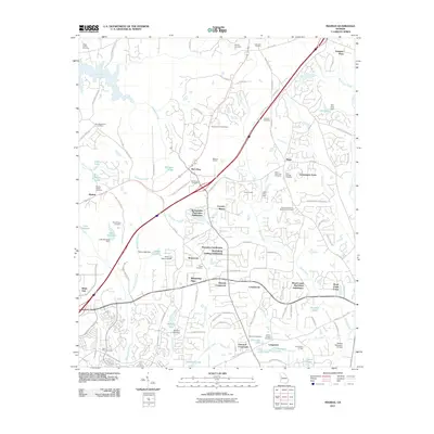
 1953 Atlanta1965 Print · USGSThe growing Atlanta metro and the industrial corridors of Eastern Alabama are captured here during the mid-century transition. Researchers can trace the rail-to-road shift through hubs like Anniston and La Grange or locate sites within Fort McClellan.2 unique versions available
 - 1957 Map of Atlanta
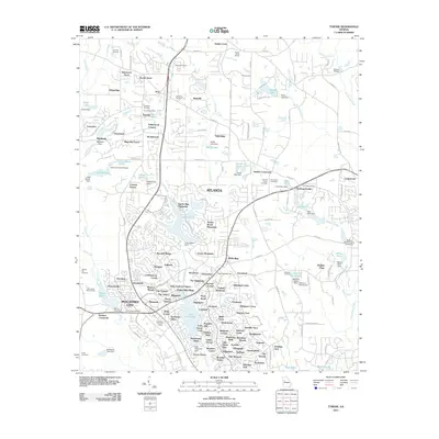
 1957 Atlanta1957 Print · USGSAtlanta and the Alabama borderlands appear here in the mid-fifties, capturing the region's post-war suburban and industrial transition. Trace the development of early transport hubs and military sites like Fort McPherson, Anniston, and the Kennesaw Mountain National Battlefield Park.
 - 1958 Map of Atlanta
 1958 Atlanta1958 Print · USGSMid-century Georgia and Alabama are shown in this regional study of the corridor between the Chattahoochee River and the Appalachian foothills. Local historians can trace the development of suburban Atlanta alongside vital landmarks like Stone Mountain, Dobbins AFB, and the Seaboard Air Line rail routes.
 - 1965 Map of Tyrone, 1966 Print
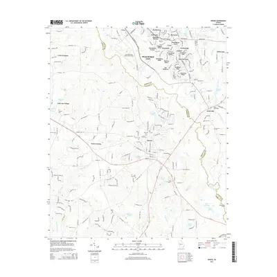
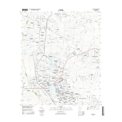
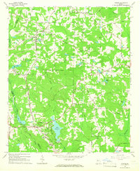 1965 Tyrone1966 Print · USGSFayette County in the mid-sixties shows a transition from rural rail-line settlements to planned suburban growth. Genealogists and historians can trace the foundations of Peachtree City near Lake Peachtree or locate old community anchors like Shake Rag and Liberty Hill Ch.2 unique versions available
 - 1965 Map of Madras, 1967 Print
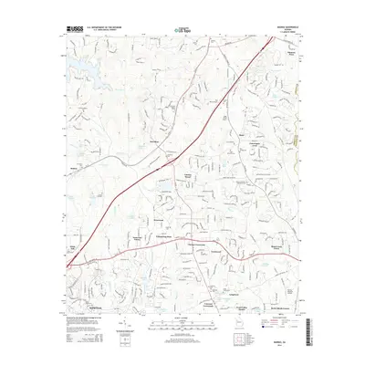
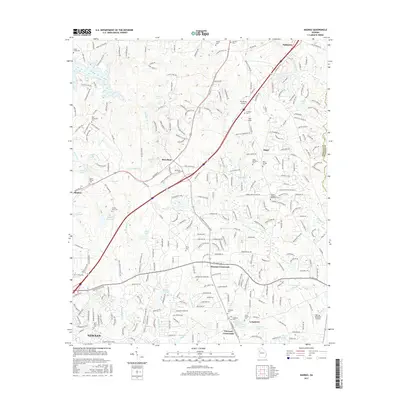
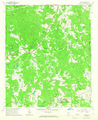 1965 Madras1967 Print · USGSCoweta County in the mid-sixties shows a landscape of growing infrastructure along the Atlanta and West Point railroad. Genealogists and local historians can trace family-named landmarks like Sullivan Lake, McCollum, and Cokes Chapel.4 unique versions available
 - 1965 Map of Senoia, 1967 Print
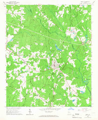 1965 Senoia1967 Print · USGSMid-century Coweta and Fayette Counties come alive at the junction of two major rail lines during a period of steady local growth. Genealogists and researchers can locate family-named sites like Starrs Mill, Peeks Crossing, and rural landmarks such as Bethlehem Ch.2 unique versions available
 - 1979 Map of Griffin, 1980 Print
 1979 Griffin1980 Print · USGSWest-central Georgia at the close of the seventies reveals a landscape of historic rail towns and growing suburbs between the major river systems. Trace the rail lines and early road networks connecting Griffin, Peachtree City, and Newnan, or locate smaller settlements like Senoia and Experiment.3 unique versions available
 - 2011 Map of Senoia, 2011 Print
 2011 Senoia2011 Print · USGSCovers Peachtree City, including Senoia, Circle H Estates, and other nearby areas
 - 2011 Map of Madras, 2011 Print
 2011 Madras2011 Print · USGSCovers Peachtree City, including Newnan, Tyrone, and other nearby areas
 - 2011 Map of Tyrone, 2011 Print
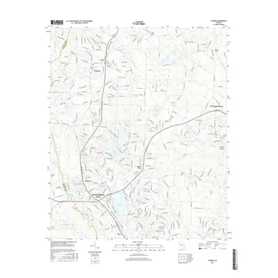
 2011 Tyrone2011 Print · USGSCovers Peachtree City, including Fayetteville, Tyrone, and other nearby areas
 - 2014 Map of Senoia, 2014 Print
 2014 Senoia2014 Print · USGSCovers Peachtree City, including Senoia, Circle H Estates, and other nearby areas
 - 2014 Map of Madras, 2014 Print
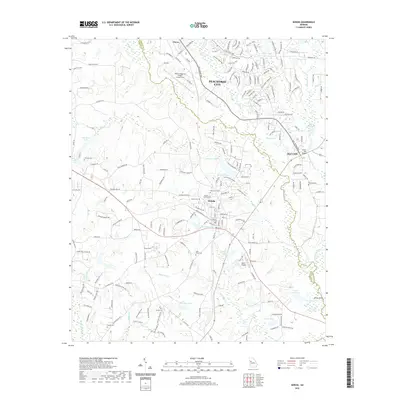
 2014 Madras2014 Print · USGSCovers Peachtree City, including Newnan, Tyrone, and other nearby areas
 - 2014 Map of Tyrone, 2014 Print
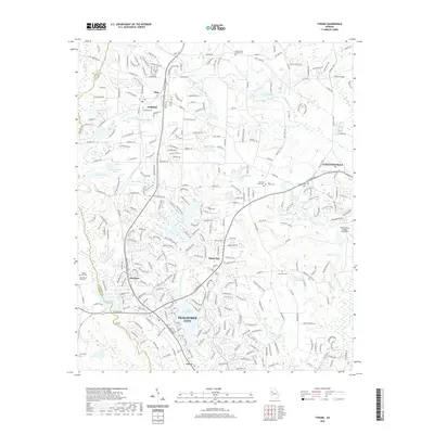
 2014 Tyrone2014 Print · USGSCovers Peachtree City, including Fayetteville, Tyrone, and other nearby areas
 - 2017 Map of Senoia, 2017 Print
 2017 Senoia2017 Print · USGSCovers Peachtree City, including Senoia, Circle H Estates, and other nearby areas
 - 2017 Map of Tyrone, 2017 Print
 2017 Tyrone2017 Print · USGSCovers Peachtree City, including Fayetteville, Tyrone, and other nearby areas
 - 2017 Map of Madras, 2017 Print
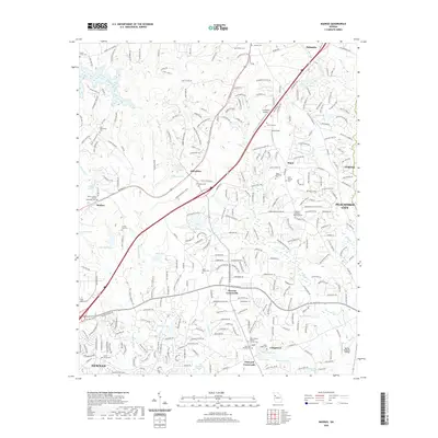
 2017 Madras2017 Print · USGSCovers Peachtree City, including Newnan, Tyrone, and other nearby areas
 - 2020 Map of Senoia, 2020 Print
 2020 Senoia2020 Print · USGSCovers Peachtree City, including Senoia, Circle H Estates, and other nearby areas
 - 2020 Map of Tyrone, 2020 Print
 2020 Tyrone2020 Print · USGSCovers Peachtree City, including Fayetteville, Tyrone, and other nearby areas
 - 2020 Map of Madras, 2020 Print
 2020 Madras2020 Print · USGSCovers Peachtree City, including Newnan, Tyrone, and other nearby areas
 - 2024 Map of Madras, 2024 Print
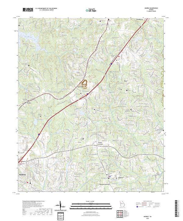 2024 Madras2024 Print · USGSNortheast of Newnan in the early 2020s, this area reveals a landscape of growing crossroads and deep-seated family history. Genealogists can trace local heritage through numerous sites like Mount Gilead Baptist Cem, McCollum Cem, and Jane Posey Cem.
 - 2024 Map of Tyrone, 2024 Print
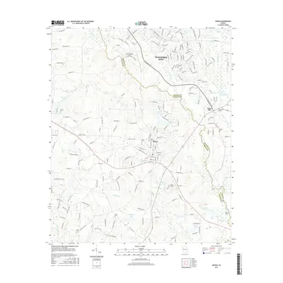
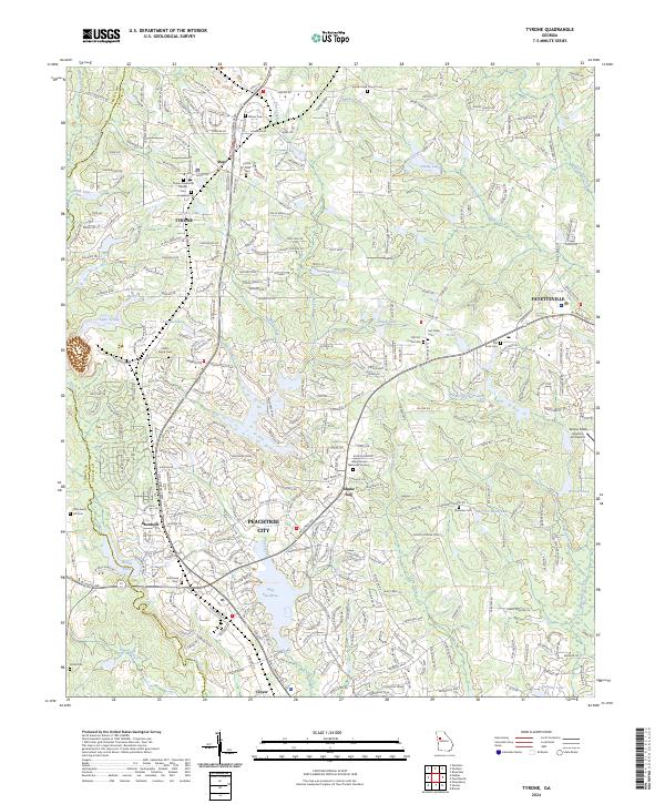 2024 Tyrone2024 Print · USGSPeachtree City and Tyrone are shown in detail during a period of modern growth in Fayette County. Genealogists can locate numerous local burial sites like Old Liberty Hill Cem and Sandy Creek Church Cem alongside developments near Lake Peachtree.
 - 2024 Map of Senoia, 2024 Print
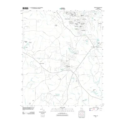
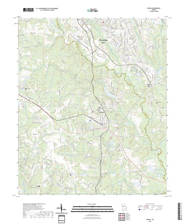 2024 Senoia2024 Print · USGSThe Coweta and Fayette county line comes alive in the mid-2020s, showing a blend of historic town centers and modern aviation hubs. Researchers can trace genealogical roots at Senoia City Cem and Neriah Cem or locate the landmark Starrs Mill along the creek.
End of results
Showing maps 1-22
Top cities near Peachtree City
- South Fulton historical maps
- Newnan historical maps
- Union City historical maps
- Forest Park historical maps
- Fayetteville historical maps
- Riverdale historical maps
See more
Top neighborhoods of Peachtree City
- Huntington Place historical maps
- Burnham Woods historical maps
- Jennings Yard historical maps
- Raintree East historical maps
- Fernwood historical maps
- Bedford Park historical maps
See more
Frequently asked questions
- What are the different types of historical maps available for Peachtree City?
- What is the oldest map of Peachtree City?
- Where can I purchase historical maps of Peachtree City for my home or office?
- Where can I download high-res historical maps of Peachtree City?
- Are there historical topographic maps available for Peachtree City?
- Is there historical aerial imagery available for Peachtree City?
- Where are historical maps of Peachtree City sourced from?